| Difficulty | III-IV |
| Length | 1.3 mi |
| Avg Gradient | 300 fpm |
| Permit | QA Test Permit Info |
| Gauge | Pigeon River Near Hepco, Nc |
| Flow Rate as of 49 minutes | 575 cfsmedium runnable |
| Reach Info Last Updated | July 13, 2026 |
If anyone out there has done this run. please comment, but I am pretty sure that it was first run on March 2nd, 2007. This is the mile above the seldom run hike up Ramsey's run and requires an almost 3 mile hike to get to the putin. The run is well worth the effort though, with many great drops and the paddle out is on one of the most intense and quality runs in the park. It is a great way to add even more bang to an already solid run. To get to the putin, hike up the Ramsey's Cascades Trail 1.5 miles to where the Ramsey Prong confluences with the Middle Prong. Ferry across the river here to river left and walk along the bank upstream untill you find a faint but followable path. This path will turn into a trail as it soon climbs around 200 feet to the flatter streambed terraces above the river.
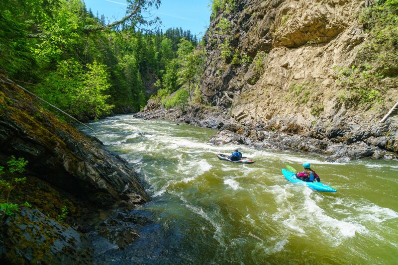
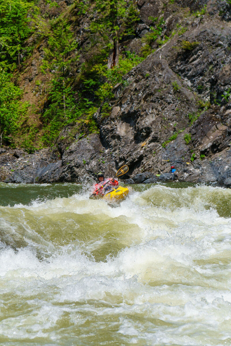
remains for around 1 mile, and there are frequent over and under encounters with downed trees. The trail will become a little fainter and then plummet 50 feet down to the river at the Confluence of Buck Fork. Puting in here yields a high quality mile of boating that has a very similar feel to the Lower West Prong, but without the bigger drops of Amtrack or Room without a view. The action is continuous, and though there are a few logjams, all but one is avoidable. After sliding in, there is a nice boogie section before the biggest logjam. Portage left, or run carefully with two sketchy tree duckings. After this there are no major problems. The run consists mainly of tight boulder jumbles that can be rather blind. There are three standout rapids that have great character. On the first, the river tightens and channelizes against the river right wall of Metasiltstone bedrock. Here the river drops 3 sliding ledges and the currents are fast and unpredictable. After several more fun boulder gardens the next big one is Speckled Falls, a tighter answer to Big Creek's Midnight Hole. Run th
...The primary take-out, and the one most commonly used by rafts, is located at the Danskin Station River Access (Highway 17, mile 19.5). This is a formal river access site with a steep set of stairs connecting the river to the parking area. For rafters, a wooden raft slide can be used to move boats uphill, but it remains a strenuous task requiring boats to be carried up the bank approximately 100 vertical feet. This is another good reason to pack rafts lightly for the trip.
The parking area is a fee site, with a cost of $3 per day or $20 for a Payette River system season pass. Season passes can be purchased at Forest Service offices and a number of local retail outlets. Day passes can be purchased at the access site.
Good place to start is the first feature on this run — an easy warm-up rapid with a clear line down the center.
Scout from river-right if the level looks pushy. At lower flows stay center; as it comes up the left channel opens a cleaner line and avoids the shallow shelf on the right.
This paragraph confirms inline markdown — a link to American Whitewater, some emphasis, and a short list:
Killer Fang Falls is a technical Class III rapid defined by a broad bedrock ledge that spans the river. At most recommended flows, the preferred line follows a narrow slot along river right, where the current drops cleanly through the ledge before entering a turbulent recovery pool. The entrance requires precise positioning, as the current accelerates quickly toward the lip and offers few opportunities for correction once committed. Boaters should identify their line well upstream and maintain control through the drop and the powerful currents below.
As river levels increase, the character of the rapid changes substantially. Water pours over the full width of the bedrock ledge, creating a uniform waterfall with a large, dynamic hydraulic at the base. Immediately downstream, a prominent pointed boulder known as 'the Fang' emerges from the current. While it may be of little consequence at lower flows, the Fang becomes a significant hazard as flows rise, with powerful currents pushing toward the exposed rock. The combination of the hydraulic and the downstream obstacle makes precise boat placement increasingly important at higher water.
A scout from river right provides a good view of both the entrance and the downstream hazards. Paddlers who choose not to run the rapid may also use the same route as a portage before re-entering the river below the rapid. As with any bedrock feature, the hydraulics and recovery currents can vary considerably with changing river levels, and scouting is recommended for anyone unfamiliar with the rapid or following periods of high water.
KC Testing rapid
The Narrows is a technical Class IV rapid that requires a series of well-timed moves to navigate successfully. The entrance begins with a strong current that funnels into a narrow channel before dropping through a sequence of lateral waves, exposed boulders, and powerful eddy lines. Maintaining the correct line requires multiple directional changes, and missing an early move can make subsequent maneuvers significantly more difficult. At most flows, confident boat control and the ability to make precise eddy turns are essential.
For paddlers who choose not to run the rapid, a portage is available on river right. A small eddy at the top of the rapid provides the only practical opportunity to access the portage trail. Because the eddy is relatively small and the current accelerates quickly past it, paddlers should identify the entrance in advance and commit early. The portage bypasses the main rapid and rejoins the river at the pool below, where boats can be seal launched from the rocks back into the calm water downstream.
The character of the Narrows changes noticeably with river level. At higher flows, the rapid becomes more continuous, with fewer opportunities to recover between moves as the individual features blend together into a sustained Class IV descent. Near the lower end of the recommended flow range, the rapid takes on a more pool-drop character, consisting of three distinct features separated by short recovery pools. While the individual moves may be more clearly defined at lower flows, precise boat placement remains important throughout. Regardless of flow, paddlers should scout if unfamiliar with the rapid or following high-water events, as wood and rocks can shift and alter the preferred lines.
May 30, 2026
Should this be on the live web site?