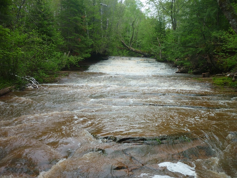
Siskiwit
Siskiwit Falls (PnH, 0.25 mile)
| Difficulty | II-IV |
| Length | 0.24 mi |
| Avg Gradient | 60 fpm |
| Gauge | Siskiwit River at Cornucopia, Wi |
| Flow Rate as of 36 minutes | 7 cfsbelow recommended |
| Reach Info Last Updated | January 28, 2025 |
Bayfield County has purchased about 100 acres of land north of Siskiwit Falls Road. Parking lots and privvies have been installed. Boardwalks have been built and trails established to facilitate viewing all the falls. A fine 'flyover' video exists at YouTube: Siskiwit Falls (NOTE: you may wish to speed it up by clicking the 'Settings' icon (the 'gear', bottom right), then clicking 'Playback Speed' and selecting 1.5 or 2 (to double speed), since the drone footage is long and slow otherwise.)
This reach is going to be difficult to catch by anyone who does not live in the immediate area (Bayfield/Ashland/Duluth/Superior boaters) because it has such a small watershed (extremely short 'window of opportunity' for adequate flow). Add to that the extremely short length, and the proximity to the known and more popular 'North Shore' (MN) rivers, and you'll quickly see why few boaters ever catch this one. However, anyone who manages to catch it with boatable flow is likely to be pleasantly entertained if not intimidated! Why? If there is anything above bump-and-scrape flow, rather than being separate slides, everything below the bridge will essentially be very nearly one continuous high-speed-whoopie slide, as the river drops about 50-60 feet in about a quarter-mile!
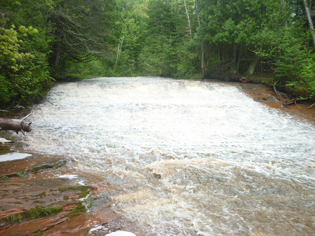
The section is almost entirely smooth bedrock sliding drops, with almost no inherent hazards (other than concerns for hangers, strainers, and snags -- trees still anchored to shores, but extending over and/or into the water). In fact, local folks and tourists 'slide' the falls (some use air mattresses or inner tubes, others just slide parts of it on their butts!) during the summer. The objective difficulty of any individual drop is likely no more than class II (possibly marginally up to class III). However, with adequate flow, having this much gradient, this many drops, back to back to back . . . the overall 'feel' will be
...
USGS gauge (22.6 Sq.Mi. drainage). While other gauges are slightly closer, this one most closely matches for drainage area, so it is our chosen 'reference gauge'. As always, when using a gauge not actually on the listed stretch of river, it is only an indicator of possible runnable flows.
Drainage area listed as 65.4 Sq.Mi., but then lists only 38.3 Sq.Mi. 'contributing area'.
This could be a possible alternate reference gauge. However, while it is a little closer to this river, the difference in drainage area makes it likely less viable.
Drainage area listed as 37.6 Sq.Mi., but then lists only 7.4 Sq.Mi. 'contributing area'.
This could also be a possible alternate reference gauge, but appears to have gone unfunded. While it is a little closer to this river, the difference in drainage area (exacerbated by the disparity between drainage and 'contributing' drainage) makes it likely less viable.
USGS gauge at this site has been active since April, 2021, listing drainage area as 47.4 Sq.Mi., but only 21.6 Sq.Mi. 'contributing area'.
For water year 2024 (Oct.2023-Sept.2024), it lists on June 19th) peak flow hit 4,210 cfs! However, he '10% flow' is only 21.3 cfs. (I.E., flow only exceeds 21.3 cfs 10% of the time.)
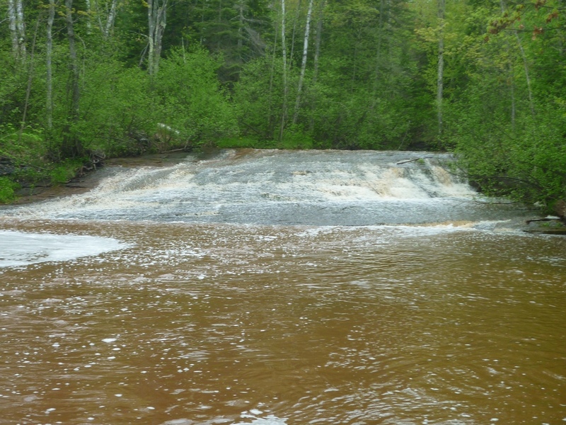
The river-right line appears to have the most flow. Locals love to slide down this one in the summer.
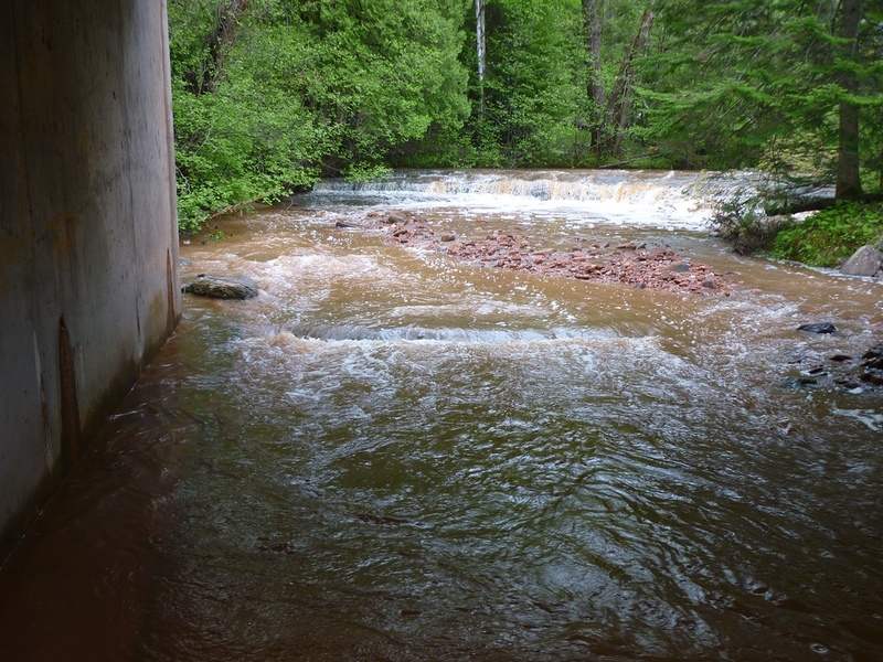
A fun 2-3' ledge into a relatively deep pool before you pass under the bridge toward the next slide.
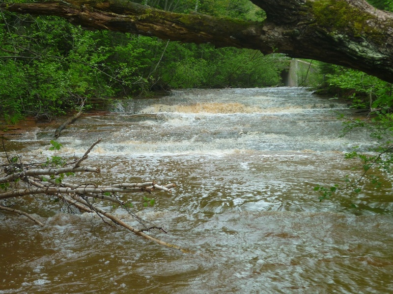
Immediately after you pass under the bridge, this stair-step slide is waiting for you. River right-center appears to have the most water.
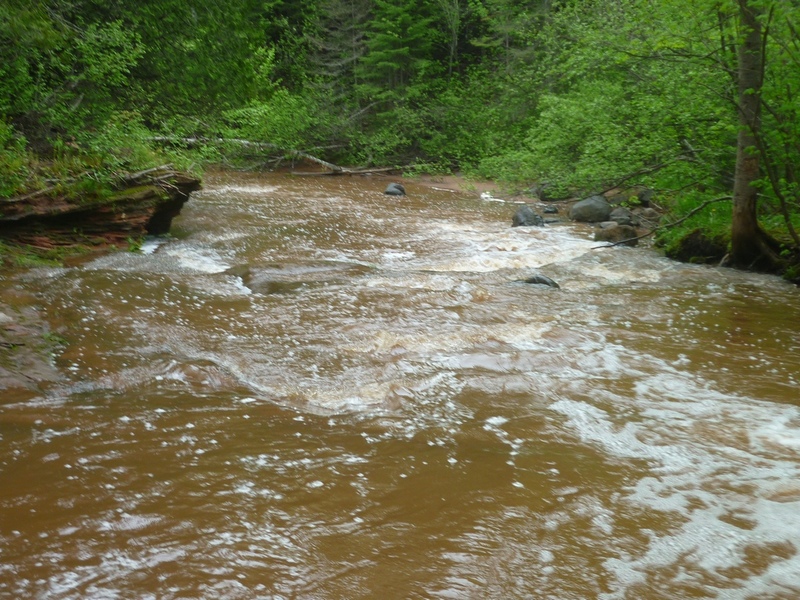
Keep center-to-right (if you can) to avoid being shoved into or under this overhanging/undercut rock.
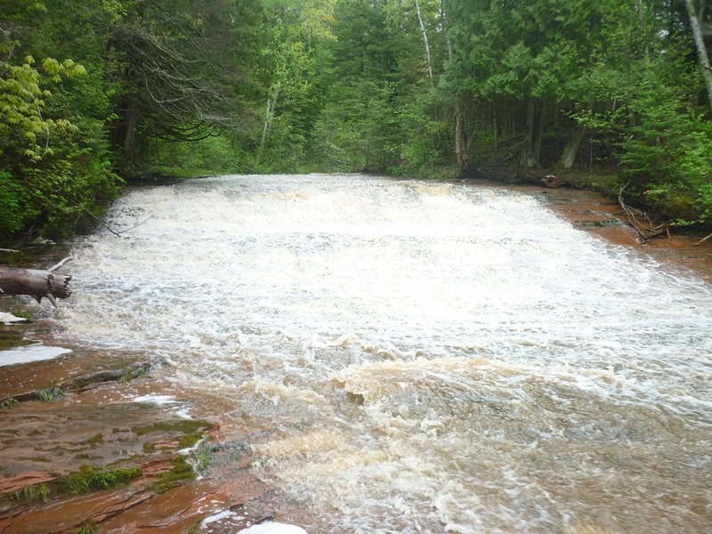
Perhaps the largest slide on this section. Like the second one (immediately downstream of the bridge), this one has a couple of 'steps' which are likely to be 'jumps' in your boat.
Navigate the small rapids below and take out shortly after on river right to follow the trail back to your car.
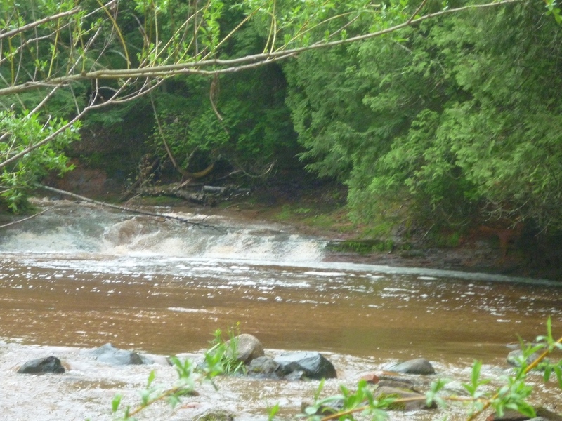
If you can, try to stay center-to-right on the tail-end of the Fourth Slide, where the flow should be deeper.
You will want to get out pretty immediately and carry back up to the bridge, since downstream you will encounter only deadfalls, snags, maybe a riffle or two, then slackwater down to the next road bridge and the lake.
May 27, 2016
Downstream of the third slide, do your best to stay center-to-right to avoid being stuffed into/under this overhanging rock.