Stony Brook
Lake Sebago to 7 Lakes Dr. bridge
| Difficulty | II-III+ |
| Length | 2.4 mi |
| Avg Gradient | 60 fpm |
| Permit | Technically permits are required to paddle in Harriman State Park and any park within the Palisades Interstate Parks. That being said if the Palisades Police catch you launching during runnable levels they probably won't like it period, so with permit or without i'd drop boats, paddles, pfds and skirts quickly and move them out of sight, find a legalish place to park (in the park this generally means and unposted established pullout). |
| Gauge | Ramapo River at Suffern Ny |
| Flow Rate as of 41 minutes | 23 cfsbelow recommended |
| Reach Info Last Updated | November 23, 2019 |
This is a fun weekday paddle, 45 miles from the Triborough Bridge, about 22 miles from the Tappan Zee Bridge. It is located in southern Harriman State Park. Once you put in, you leave the road and you will not see any houses and it's all State Park, giving it a wilderness feel.
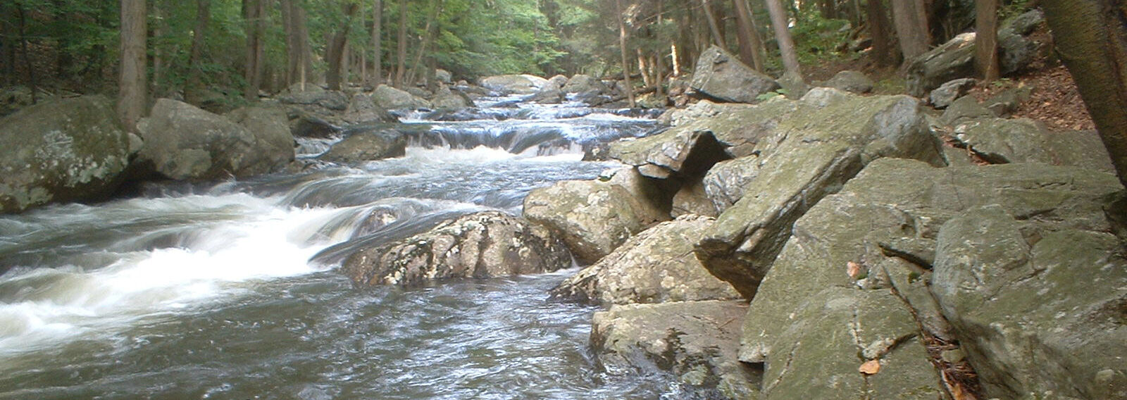
Based on the gradient lines on the map, the first mile is 40 fpm and the next 1 1/4 mile is 60 fpm (but seems steeper to me), where Pine Meadow Brook adds its water from the left. The first half is mostly CL2 with some CL3. Things start to pick up just before you see Pine Meadow Brook flowing in on the left. If you were shaky up to this point, I suggest that you carry out to the take-out or at least scout a lot; otherwise, you should be fine with boat scouting for the most part. Get out and scout if you can't see ahead.
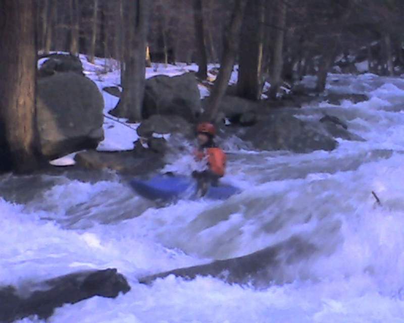
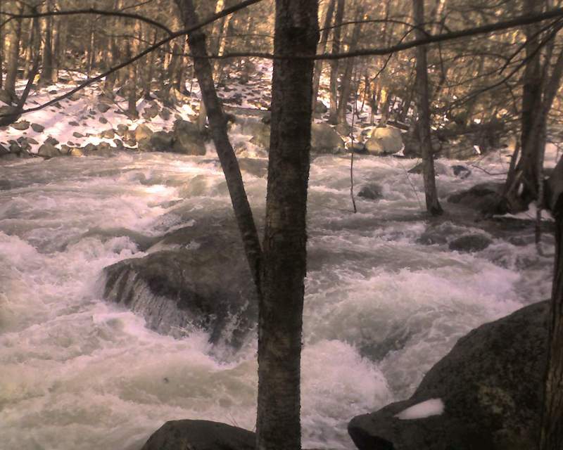
Now it gets harder and is more of a CL3, CL3+ at low to medium. Lots of rock dodging, rock boofing and in a few spots I had to edge my kayak to sqeeze through boulders to go over a drop. I guess the drops range between 1-3 ft, mabe higher and often several in a row. You'll soon pass under a hikers' bridge and the left bank rises, I guess about 15-20 feet and you will pass between two large boulders. Go right; there's a log jam on the left and I am pretty sure the three creek-wide strainers are past this.
Always be on alert for strainers--it doesn't take much to block the path.
There's a hiking trail on the left of the creek not far from the put-in and it connects to another trail on the second part which leads to the parking lot which means you can hike on trails to scout the whole thing. If you start your hike at Reeves Meadow parking lot (it starts right side behind the center), you'll see red blazes but then veer left onto the yellow blaze that continues along the creek. Be sure not to follow Pine Meadow Creek further down, you need to veer left again to follow Stony Brook. This a
...Nov 23, 2019
Ran in early Oct. 2018 at about 500 cfs on the suffern gauge. Incredibly scratchy and woody. We were probably out of our boats 20 times. A bit more water and an afternoon's work clearing out the smaller strainers could make this a fun stretch but until then?
Jun 3, 2012
http://www.youtube.com/watch?v=Nj-wWq7jTAE could not upload this vid from crappy phone. Last rapid and much flater than whats upstream.
Dec 25, 2007
At 2250 cfs, the 2nd have becomes pretty much a solid CL4. The whole thing is a rapid, mostly CL4 with some CL3 rest. Basically, I had put in just a few yards up from the take-out and paddled to the Ramapo since I was solo.