Thompson River
Little Thompson River to Clark Fork Confluence

| Difficulty | I-III |
| Length | 17.6 mi |
| Avg Gradient | n/a |
| Gauge | Thompson River Near Thompson Falls Mt |
| Flow Rate as of 1 hour | 259 cfsbelow recommended |
| Reach Info Last Updated | May 8, 2019 |
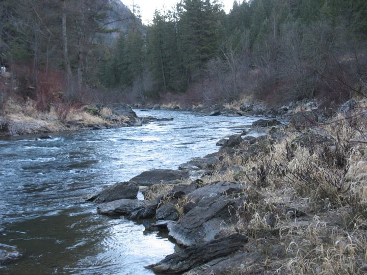
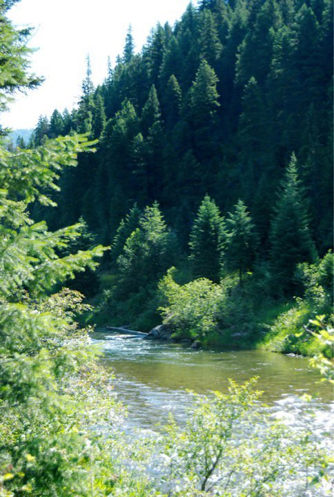
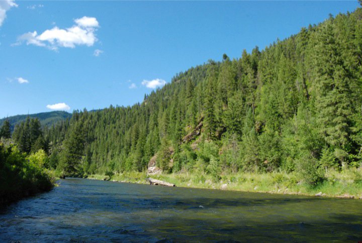
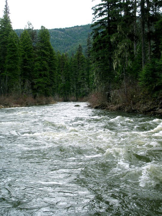
The Thompson is a beautiful roadside river with several short interesting sections of easy whitewater separated by realtively long sections of flat moving water. The rapids are generally located near the confluence with the Clark Fork, and upstream about 3-4 miles in an obvious section of rapids. Rapids are comparable in difficulty to the Blackfoot River, with a bit more complexity and structure. The river begins up near Highway 2 in 'Thompson Lakes,' and flows south through Plumb Creek Timber Co. and Lolo National Forest service lands. Although the biggest whitewater may be near the end, good paddling starts near the Little Thompson River confluence.
There are two roads paralleling the river. Thompson River Road is the main highway and runs along the west (river right) side of the river. The river-left road is smaller and provides ample river access and scouting opportunities. Bridges connect the two roads only at Little Thompson River and near Clark Fork.
Getting there: The Thompson River is located in the northwest corner of Montana. It flows into the Clark Fork just east of Thompson Falls, which is west of Plains, MT along Hwy. 200.
Lower Thompson
Apr 26, 2008
You should see it at 1,200 or even 2,000 it gets even more fun.
I think that around 2,000 it warants a class IV, and is much faster and pushier with a few log jams to avoid. It is a blast, and one of my favorite rivers in western MT. Also it can be a great warmup for Prospect Creek which is just the other side of T Falls.