Libby Creek
FS 351 to Hwy 130
| Difficulty | I-III |
| Length | 1.2 mi |
| Avg Gradient | 80 fpm |
| Gauge | Rock Creek Ab King Canyon Canal, Nr Arlington, Wy |
| Flow Rate as of 1 hour | 26 cfsbelow recommended |
| Reach Info Last Updated | July 8, 2007 |
Libby Creek gathers water near the snowy almost barren Snowy Range Pass. The creek meanders for a few miles and then plunges down toward Hwy 130. For most of this distance access is poor and the creek is tree infested and extremely steep.
Once Libby Creek reaches the FS 351 it has calmed down to be a constant class II-III micro-creek. There are few distinct rapids. The final 200 yards is the biggest stuff on the run and the last rapid as you cross under Hwy 130 is the biggest drop. Take out as soon as you pass under hwy 130 unless you are planning to continue down to the North Fork of the Little Laramie, but beware of trees.
The last mile of Libby Creek is easy to access as a nearly roadside mico-creek run. The gradient is uniform and unfortunately there no big rapids. Put in either at the first road access or at the culverts. Always check this creek for poorly placed wood but when I ran it all of the rapids were clean with ONE exception. After the creek goes under Hwy 130 if you continue down to the North Fork of the Little Laramie River there was a significant set of strainers just past the highway crossing.
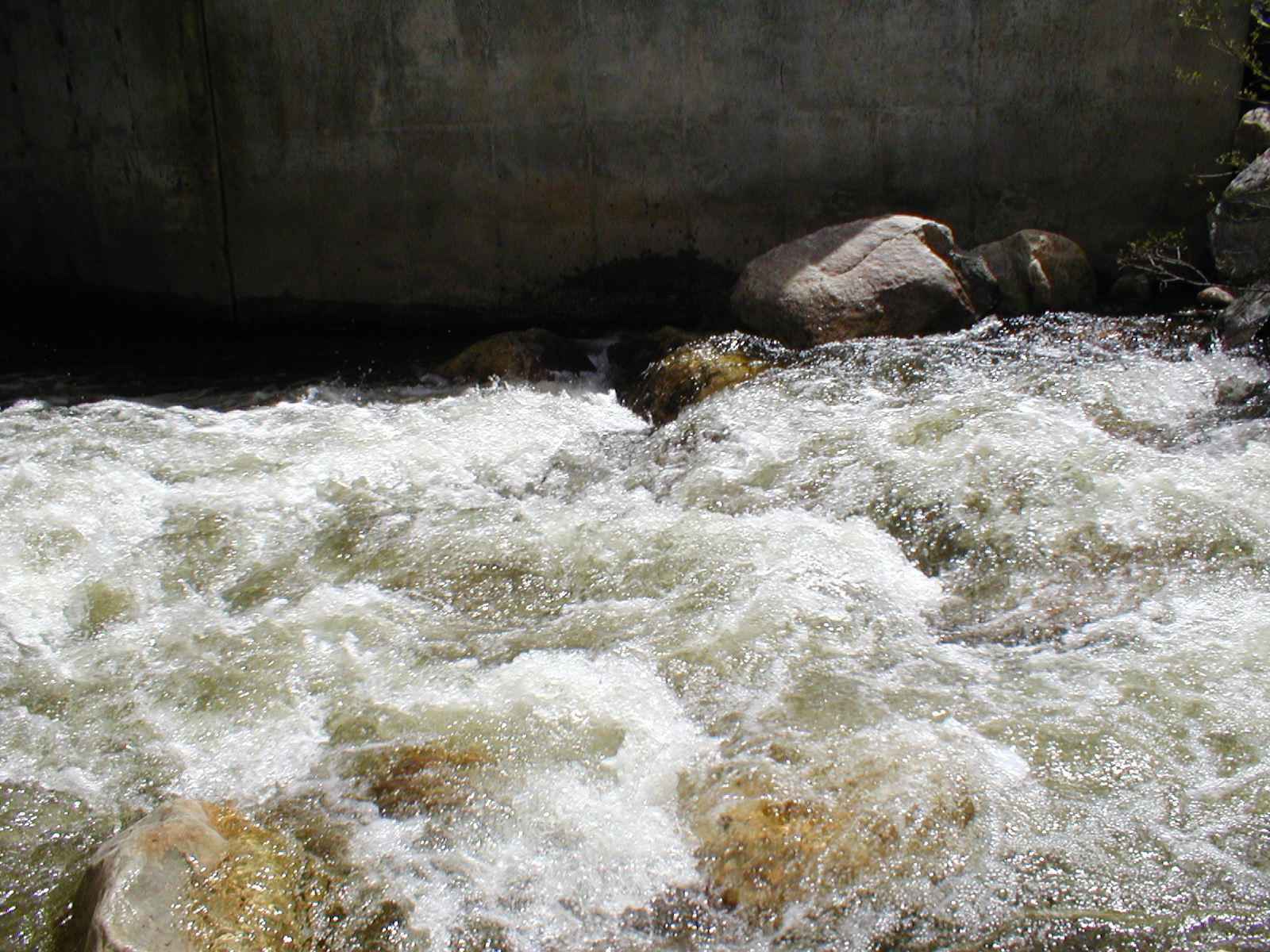
Also be aware that there is a pair of culverts as the creek crosses under the road. I could canoe through the right hand culvert but be careful and scout these before you run into them.