Quinapoxet
Canada Mills to Wachusett Reservoir(The Mighty Quinn)
| Difficulty | II-III |
| Length | 2.9 mi |
| Avg Gradient | 38 fpm |
| Gauge | Quinapoxet River at Canada Mills Near Holden, Ma |
| Flow Rate as of 49 minutes | 6.32 ftbelow recommended |
| Reach Info Last Updated | July 21, 2023 |
The Quinapoxet is a delightful II/III stream located in Central Massachusetts approximately seven miles north of Worcester, getting its start in the hills northwest of Worcester and draining into Wachusett Reservoir.
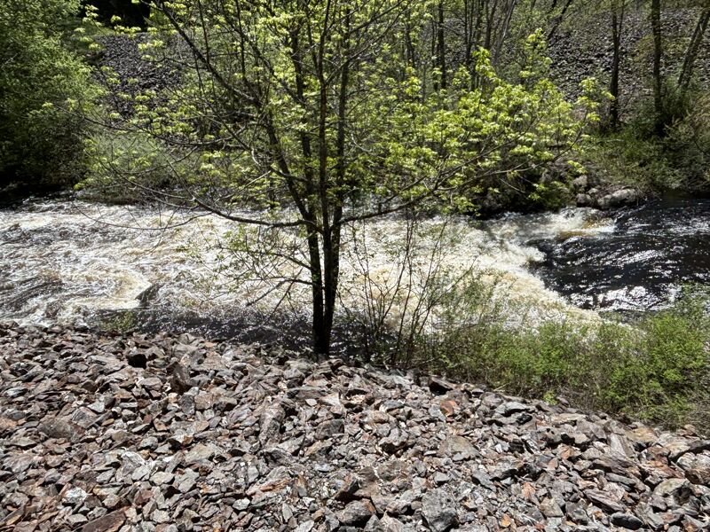
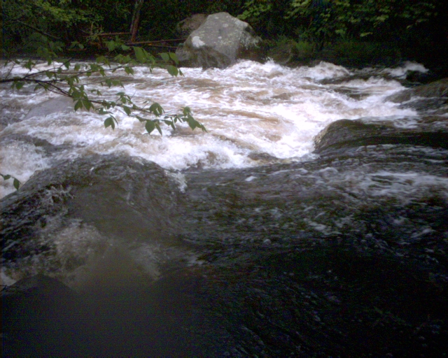
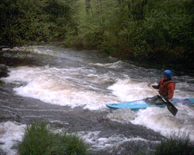
The run is class II for the most part except for an longish class III stretch past the remains of the 19th century Springdale Mill; plus an abrupt three foot drop just downstream of the I-190 crossing.
The Wachusett Greenways Section of the Mass Central Rail Trail runs along the river for the majority of the run.
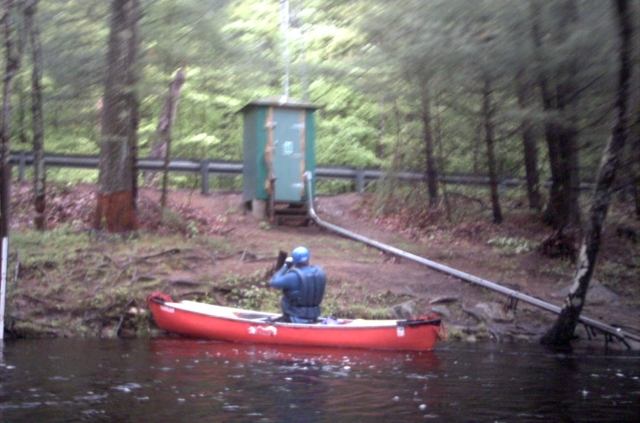
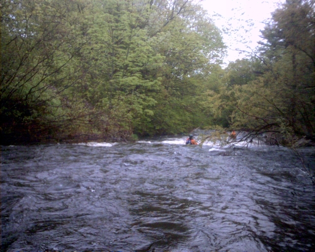
Put-on a few feet downstream of the gage. There is a wonderful surfing wave located at the put-in. From then on it is a combination of quickwater to class II down to the mill. After that the pace picks up a bit for the second half of the run.
Put in elevation........553'Take out elevation......447'Total drop..............96'Average drop/mile.......38.5'Distance................2.75 milesRiver width average.....20' ???River geology...........???River water quality.....Good, clarity neutral to good.Scenery.................Woods, some old mill and dam ruins being covered up and overgrown.Wildlife................???Nearest Gas.............Intersection of Routes 31 and 122A in Holden.Convenience Store.......Route 31 by the Manning Street Intersection north of Holden.Nearest Restrooms.......None near by.Camping.................??Restaurants/Pizza/etc...??Go here for a NOAA weather forecast.
Local Map - Quinapoxet River and surrounding area of Holden and West Boylston
_Map of Holden, West Boylston, and area surrounding the river._Map courtesy of
...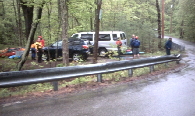
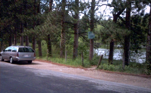
Put-on by a small parking area for the rail trail about 200 feet upstream of the River Street Bridge.
A wonderful play wave is found at the put-in.
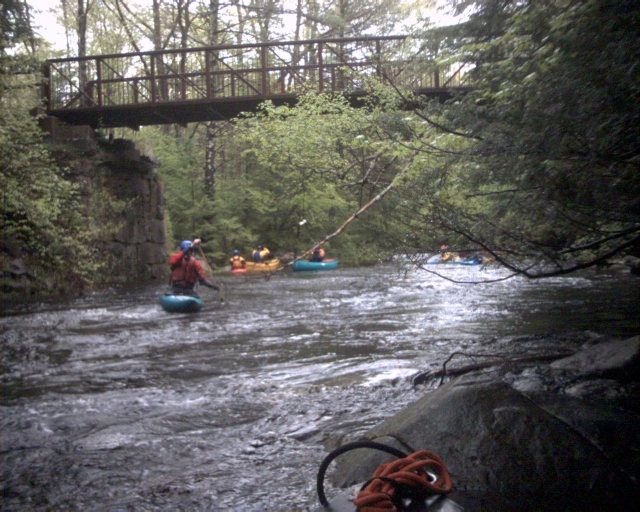
The rail trail crosses the river several times.
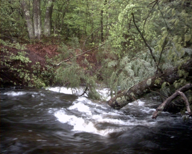
Dangerous strainers on narrow streams in the woods such are a constant hazard. This one is between the two rail-trail crossings.
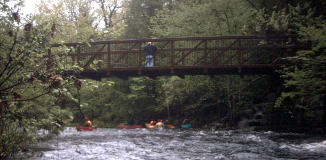
The rail trail crosses the river again. Take out here and walk downstream to scout the rapid at the ramains of a 19th century mill.
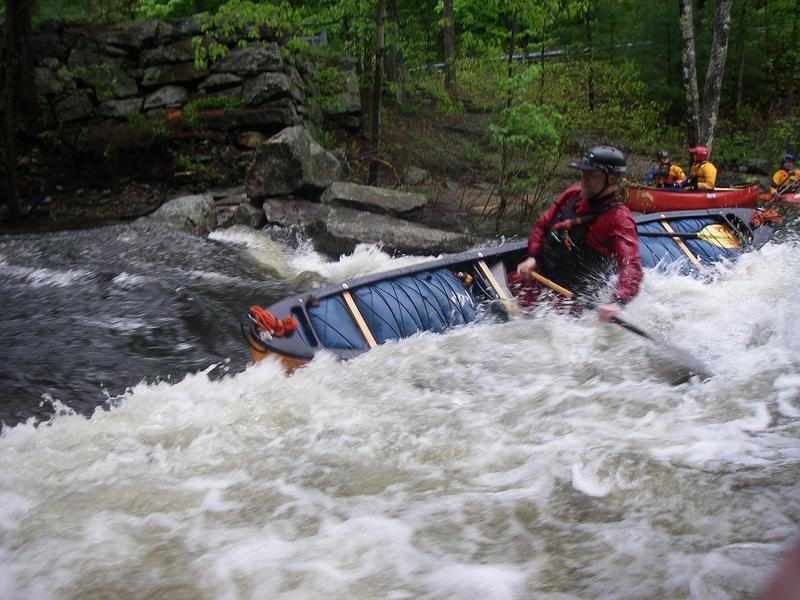
Just at the beginning of the Springdale Mill Rapid is a nice play wave at the bottom of a small island that splits the river in two.
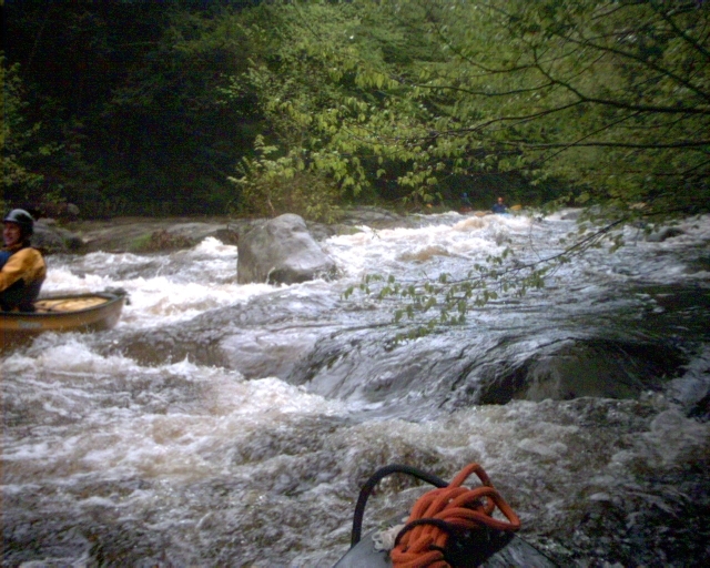
This is a longish rapid with several pushy drops. It can be scouted from the remains of the mill. (Note: The mileage is approximate.)
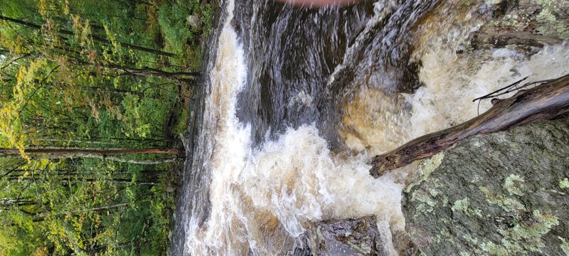
Just below the I-190 crossing is an abrupt three foot drop.
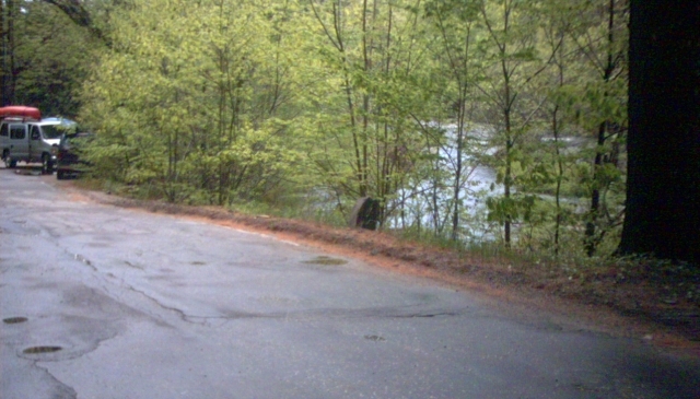
Park along the road at one of several turn-offs where the river runs along the road.
The flatwater take-out is one-half mile downstream from the whitewater take-out. Note that the reservoir is posted against watercraft since it is a public water supply.
May 12, 2025
I ran the Quinn after a week of rain. Flow was 9.8-10 feet. Conditions were Class II with a longer Class III rapid in the second half of the trip starting with the abrupt dropoff under the I-190 overpass. The Quinn was super fun, but... there are now multiple strainers throughout the trip (at least 5) including a full river wide strainer just above the I-190 overpass. This one required portaging. The others were not complete riverwide and could be skirted.
Sep 30, 2023