Ottawa
Middle Channel

| Difficulty | III-IV |
| Length | 6.3 mi |
| Avg Gradient | 12 fpm |
| Reach Info Last Updated | June 6, 2016 |
The 'Middle' channel is often run at higher levels than the Main ( click here). After running McCoy's Rapid (which is common to the Main and the Middle), paddlers head left of the island to run the Middle.
Off Grants Settlement Rd., take a right onto McCoy Chute Trail. Park in the lot and walk down to the putin.
(This putin is the same as the putin for the Main.)
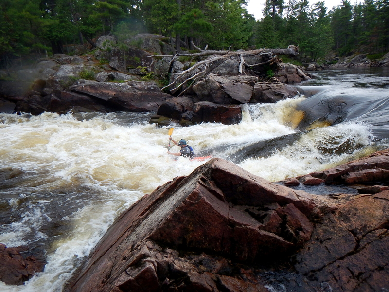
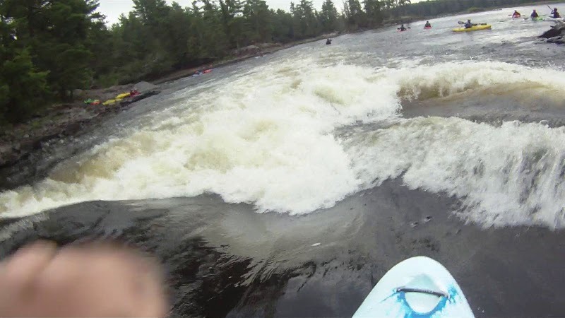
Scout from an island on the right. This long rapid starts out with a bang! Most paddlers 'thread the needle,' heading just right of Sattler's Hole, lining up to avoid the notorious Phil's Hole on the left. One great way to screw it up is to shy away from Sattler's just a bit, which will give the intrepid paddler no room to avoid Phil's. After Phil's, big water takes you toward river left. Most paddlers curve around right to catch a tongue down the center of the Horseshoe Hole. Great fun awaits at the end! Baby Face, a play wave at the runout, is an awesome bouncy surf at levels around 1 foot or less.
After McCoy's, take a left at the islands to run the Middle.
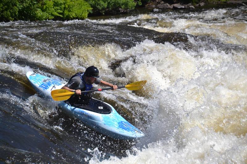
A wave/hole, surfable at higher levels (above 2).
After Butterfly, you can attain up a right-hand channel to Angel's Kiss, surfable at levels above about 4. You can also get to the Kiss by running down Little Trickle.
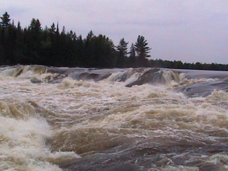
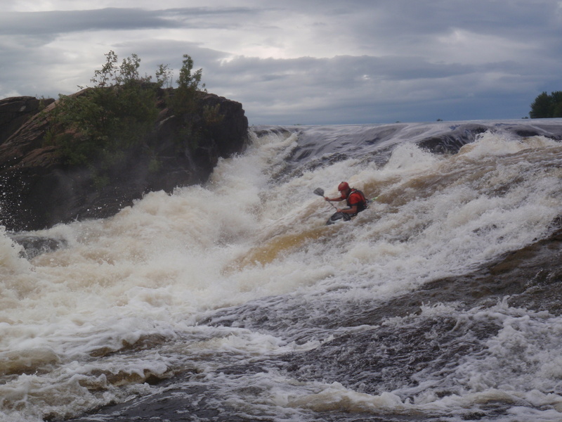
A gnarly collection of holes and froth, many people walk this one--especially since it's out of character with the rest of the run. Scout from an island on the right. Another line here is the Staircase, the left-most channel with a bunch of ledges and undercuts..
A playhole which comes in at moderate levels (4+).
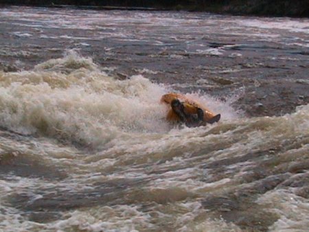
A bunch of offset holes. Scout on the right.
There are several takeouts, each on private property. The charge for taking out at RiverRun Campground is $5 bucks; the charge is included in the camping fee.
Aug 18, 2011
Garvins at 0ft