| Difficulty | III-IV(V) |
| Length | 7.6 mi |
| Avg Gradient | n/a |
| Reach Info Last Updated | August 20, 2025 |
River Description
This big-water tributary of the Ottawa is a favorite. 130km / 80 miles North of Ottawa, 330km / 200 miles NW of Montreal.
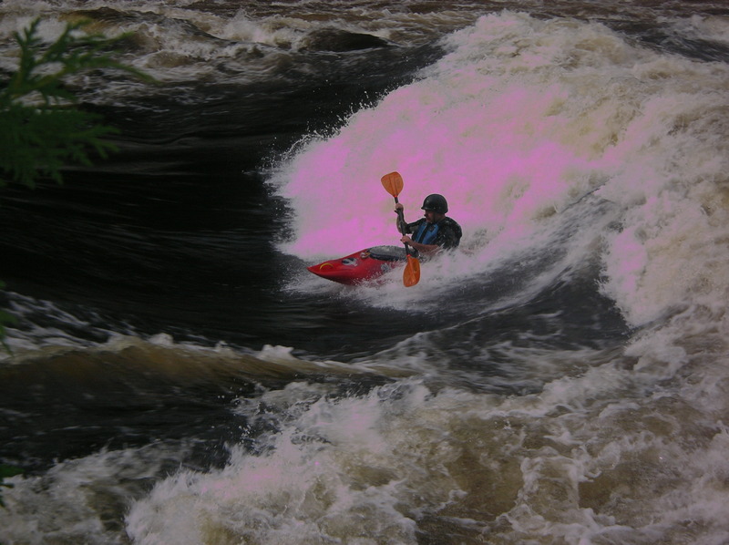
Jim Quigley at bottom of Lucifer. [Larger] [Full-Sized].
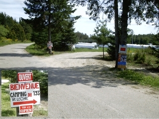
Put-in from a river-left campground off Chemin Godin a little ways south of Maniwiki.
Take-out at the Bonnet Rouge campground.
There is a small river access fee at both locations.
(Note: Latitude and Longitude coordinates are for rapids and put-in/take-out are approximate. Locations have not been verified by a GPS.)
A downriver takeout is rumored to be at: 46.2399, -75.9408.
Check out the Annual Gatineau Festival
Regional Map –Rivers of the Outaouais (Ottawa) Area _Des rivières de la région de outaouais (Région administrative 7)_Map by Ministère du Développement durable, de l'Environnement et des Parcs
Other Resources:
MYOSIS.CA Web Site ( Débit des rivières for gage levels.)
La Fédération québécoise du canot et du kayak (FQCK) ( Info débit for gage levels.)
Le club de canot-camping des Pays-d´en-Haut (CCCPH)
Regional Weather- AccuWeather.com Canada, MétéoMédia Canada or
...River Features
Put-In
Access PointDistance: 0 mi
Put on from a campground along Chemin Godin a couple miles south of Route 107 from Maniwaki.
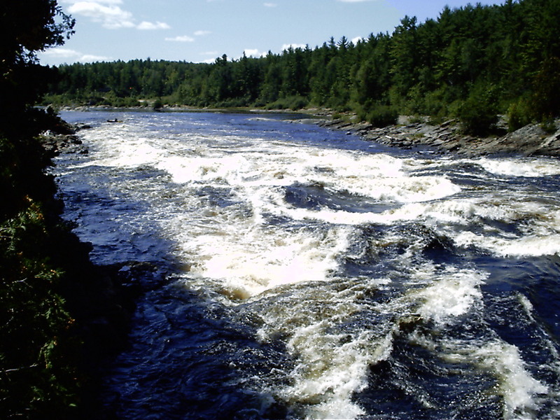
Tête des Six (Heads of the Six)
OtherDistance: 0.2 mi
Latitude/Longitude coordinates for all these rapids are approximate, determined from www.gatineau.org/en/carte.html and Google Maps.
The first rapid has several play spots. There are a about six islands in the river close to this spot.
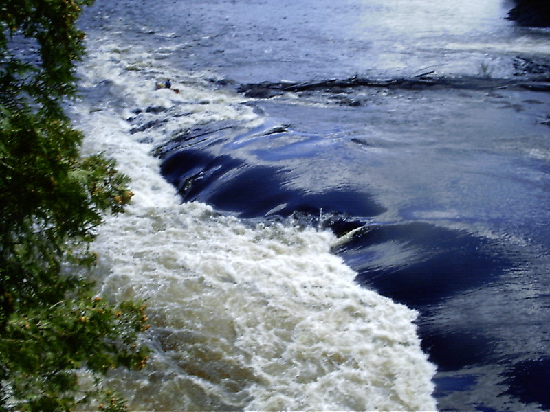
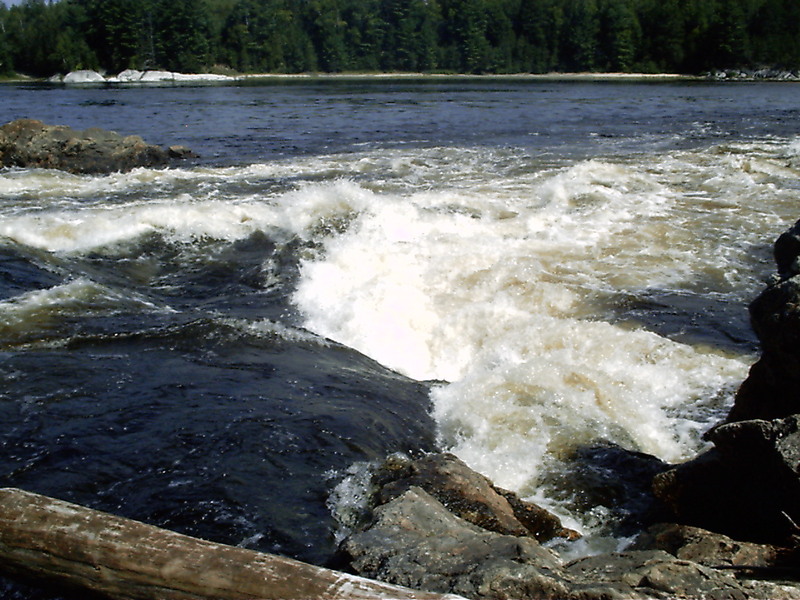
Lucifer
HazardClass: IIIDistance: 1.2 mi
From Jason Robertson's Report, 2002:
Lucifer had a series of named holes; the first center hole is 'L'Ange Gardien' (Guardian Angel), which is followed closely downstream by 'L'Agneau de Dieu' (God's Lamb) on the left and the aptly named 'L'Anus de Lucifer' (Lucifer's Anus) on the right.
Karl Gesslein said, in 2001:
My favorite was Lucifer, which we ran six times. There were four big holes and the trick was to run it and catch all four of them. There was another hole aptly named Lucifer's Anus which was a boat eating monster. We didn't play in that one.
Lat/longitude coords are approximate, determined from www.gatineau.org/en/carte.html and Google Maps.
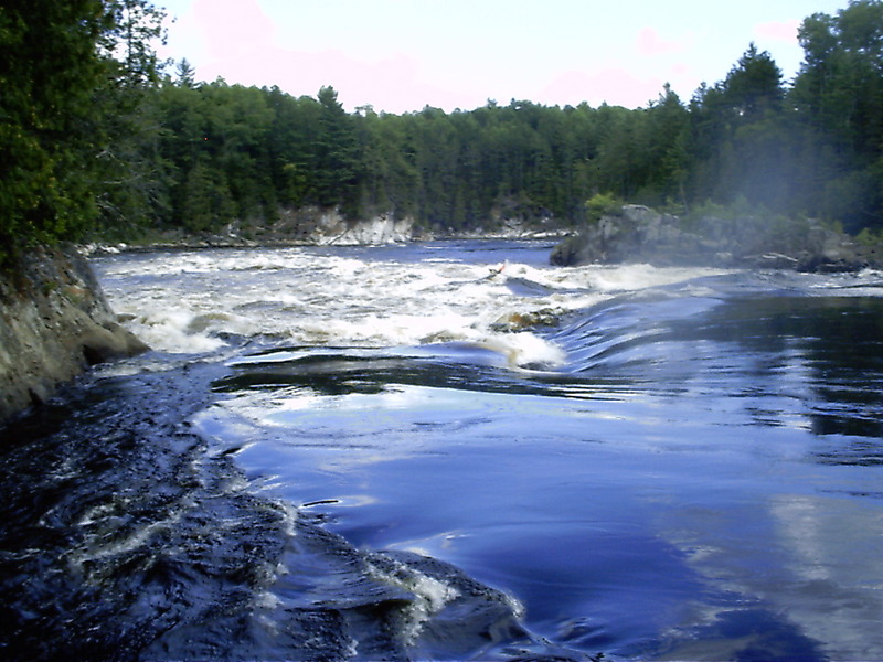
La Créte de Cog (Crest of the Cog Wheel)
RapidDistance: 2.1 mi

The rapid is on the *RIGHT* channel which should be avoided since it leads to a dangerous dam.
Barrage du corbeau (Rave'n Dam)
PortageHazardDistance: 2.15 mi
A dangerous dam blocking the right channel. Avoid by staying on the left channel.
Du Corbeau (Of the Raven /or/ The Crow)
RapidClass: IIIDistance: 2.2 mi
Take the left channel along Raven Island. Beware the 'Crow's Beak', a sharp protuding rock along the bottom left.
La Danse du Draveur (Log Drivers' Waltz /or/ Dance of the Drivers)
RapidClass: III+Distance: 2.4 mi
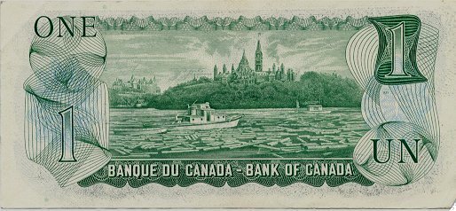
Translation Note: The name 'La Danse du Draveur' pays homage to the river and region's rich history in logging dating back to the early part of the 19th century. There's a famous song by that name, as well as a YouTube video 'Log Driver's Waltz', where the singer extolls the dancing of her log driver boyfriend who learned his graceful moves prancing from log-to-log on a whitewater river. This is also shown on the back of the old Canadian one dollar bill which features a log jam on the Ottawa River in front of Parlement. There is even a hotel by that name in Maniwaki.
Le Mur (The Wall)
RapidClass: IIIDistance: 2.7 mi
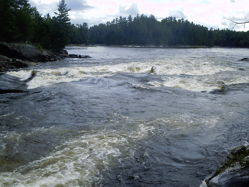
There is a large wave-hole extending half way across the river from the left edge, followed by a large standing/breaking river-wide wave that can be punched in the right spot. Sneak the rapid along the right edge.
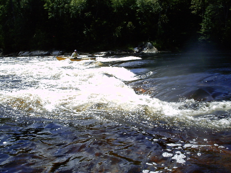
Le Bonnet Rouge (Red Bonnet)
PlayspotDistance: 5 mi
Just above the take-out the river narrows to a small chute where a wonderful set of standing waves form that make great surfing. There is a gage here on the river-left rock wall.
Take Out
Access PointDistance: 7.6 mi