Bruneau, W. Fork
Below Rowland, NV to Indian Hot Springs
| Difficulty | IV-V |
| Length | 34 mi |
| Avg Gradient | n/a |
| Gauge | Bruneau River Nr Hot Spring Id |
| Flow Rate as of 26 minutes | 32 cfsbelow recommended |
| Reach Info Last Updated | March 2, 2023 |
The West Fork Bruneau into the Bruneau is a great 3-5 day self-support kayaking trip flowing through a remote and scenic canyon. Paddlers can put in at Rowland, NV using good roads or cut off a few miles by putting in on unmarked confusing and hard-core dirt roads leading to Blackrock Crossing. Unless you have a jeep, a skilled driver, and a great sense of direction, stick with Rowland. Between the two put-ins is at least one challenging rapid called Pintoe. The West Fork offers an earlier season than the adjacent Jarbidge River.
Below Blackrock Crossing, the river promptly romps through several creeky class-III and IV rapids seperated by swift and deep flatwater. Even at 220-250 cfs on the Rowland gage, there is ample flow and depth to move really quickly between the rapids. At those flows the most challenging rapids, Al Beam Falls and Julie Wilson Falls, are challenging and runnable Class IV+/-V rapids. At higher flows these rapids, especially Julie Wilson Falls, would become challenging Class-V rapids. After these standout rapids are more Class-III and IV creeky rapids and lots more fast flatwater to the confluence with the Jarbidge.
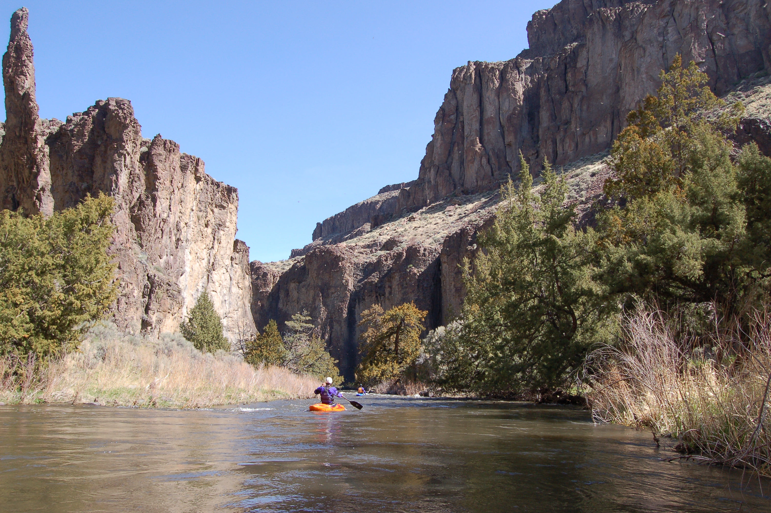
The West Fork generally lacks the dramatic narrow slot canyons of other nearby runs and the downstream Brunea River; however, the tall cliffs, challenging rapids, interesting rock formations, ancient junipers, and deep remote canyon all provide stunning scenery. Birds of prey abound. here are a lot of grazing impacts on the West Fork, caused by some of the wildest cows you will encounter in the US. Besides the grazing impacts and the occassional old fence, paddlers will likely see virtually no sign of humans in the canyon. Camping opportunities are ample and scattered all along the river. Bring a water filter, and be prepared for anything because this area is extremely remote. The roads on the map that are 5-10 miles from the river are generally dirt-tracks that might not see a car in any given week or month.
<...