Clearwater, Middle Fork
Lowell to Kooskia
| Difficulty | I-II |
| Length | 23 mi |
| Avg Gradient | n/a |
| Reach Info Last Updated | July 3, 2022 |
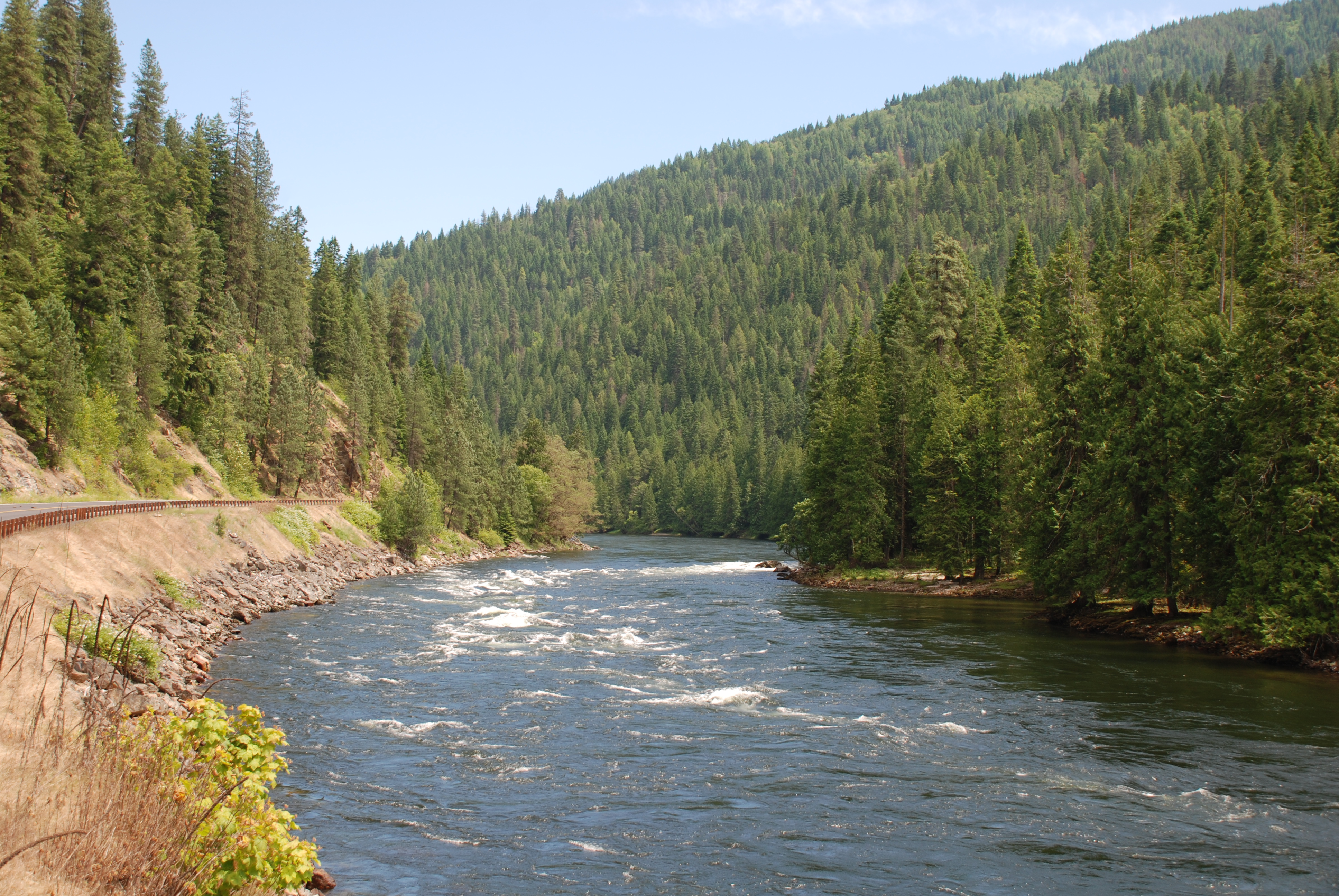
One of the original 8 Wild and Scenic Rivers, the Middle Fork Clearwater, is a beautiful stretch of river that begins where the Lochsa and Selway join in Lowell and continues for 24 miles to the town of Kooskia where the Middle and South Forks join to become the mainstem Clearwater.
With class II rapids, the Clearwater is a great summer float trip for rafts, canoes, kayaks, or SUPs. The scenery is a mix of forests and minor rural development with Highway 12 paralleling the north bank of the river.
Logistics:
With Highway 12 running along the river shuttle logistics are easy and several river access points and day-use areas can be used for access.
Selway/Lochsa confluence: Highway 12 mile 96.9
pull-out below Selway/Lochsa confluence: Highway 12 mile 96.6
Wild Goose: Highway 12 mile 95.3
Three Devil's Picnic Area: Highway 12 mile 94.3
Number One River Access: Highway 12 mile 88.6
unmarked river access: Highway 12 mile 85.8
Tukaytesp'e Picnic Area: Highway 12 mile 76.3
turn to Kooskia: Highway 12 mile 73.9
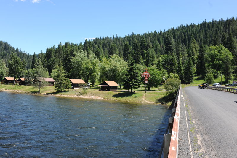
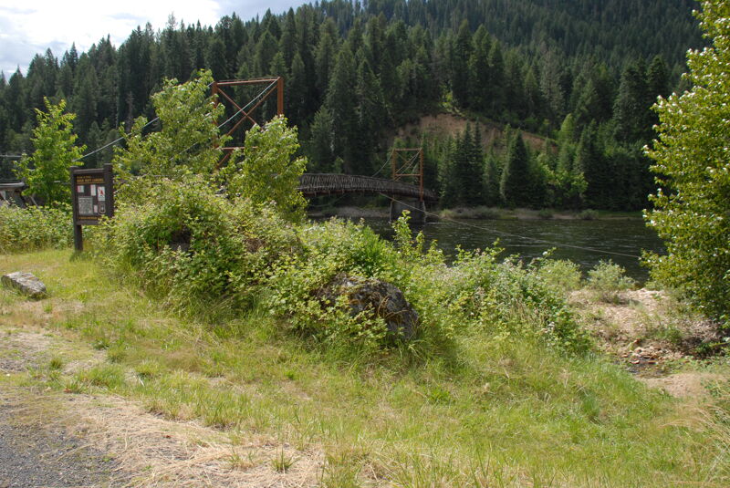
Access is limited at the confluence. The river can be accessed from Three Rivers Resort across the bridge on river left which is a private access for guests. The access is at Highway 12 mile 96.9.
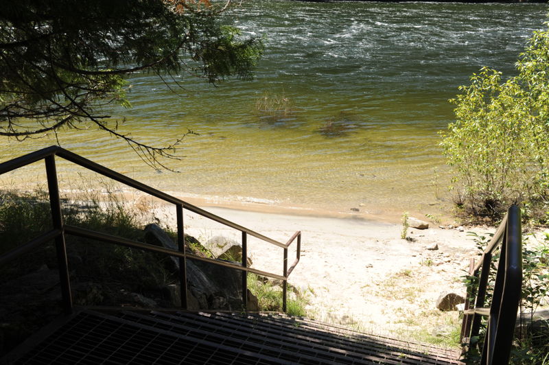
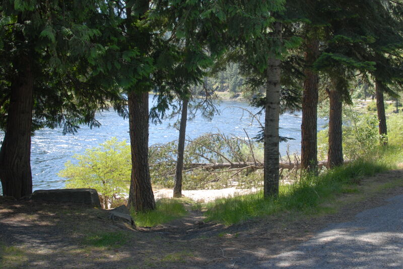
The access at Wild Goose Campground is the best public access point downstream of the confluence of the Selway and Lochsa Rivers. It is located in the campground on river right and has a series of steps leading down to a good beach. Located at Highway 12 mile 95.3.
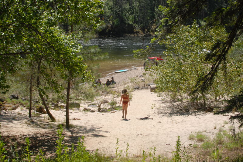
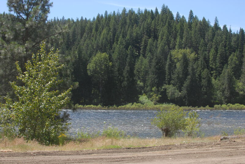
Picnic area with a good beach on river right. Generally a day-use area for swimming and water play. It's about a 200 yard walk to the water making it feasible for light hand-carry craft but not for larger boats. Located at Highway 12 mile 94.3.
River right downstream of the private river crossing in Syringa.
Access on river right at a small pull-out and day-use site along the highway. Suitable for hand-carry craft. The site has a toilet. Located at Highway 12 mile 88.6.
Unmarked access on river right suitable for hand carry craft with a short low-bank access carry to the water. Located at Highway 12 mile 85.8.
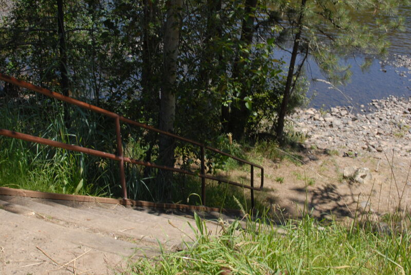
Picnic area on river right with steps down to the water. It is a short carry for hand carry boats. The site has a toilet. Located at Highway 12 mile 76.3.
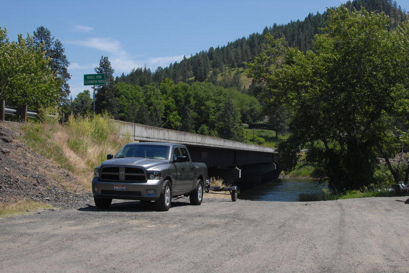
Access in Kooskia on river right downstream of the bridge. This site has a dirt ramp accessible for trailered boats and a portable toilet. Located at Highway 12 mile 73.9.