Crooked Fork (Lochsa trib)
Hopeful Creek to Lochsa River
| Difficulty | III-V |
| Length | 18.9 mi |
| Avg Gradient | n/a |
| Reach Info Last Updated | March 2, 2023 |
Hopeful Creek to Brushy Fork at Highway 12; 11 miles
This segment is the run described in Grant Amaral's guidebook. The first couple miles are class II with lots of wood and a couple sections of braided channel. You can expect about ten portages in this section with a couple of longer ones through the woods.
Things begin to pick up with a couple granite slides and class III boulder gardens. About four miles in you reach a couple of class IV gorge sections. You will want to scout these for wood which is in play throughout this upper reach.
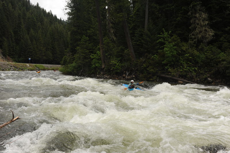
As you pass the confluence with Boulder Creek, the flow picks up. The river then enters a class V section. You can portage or run sections of this. Below this the river opens up to II and III boogie water to the take-out.
Brushy Fork at Highway 12 to Lochsa River; 7 miles
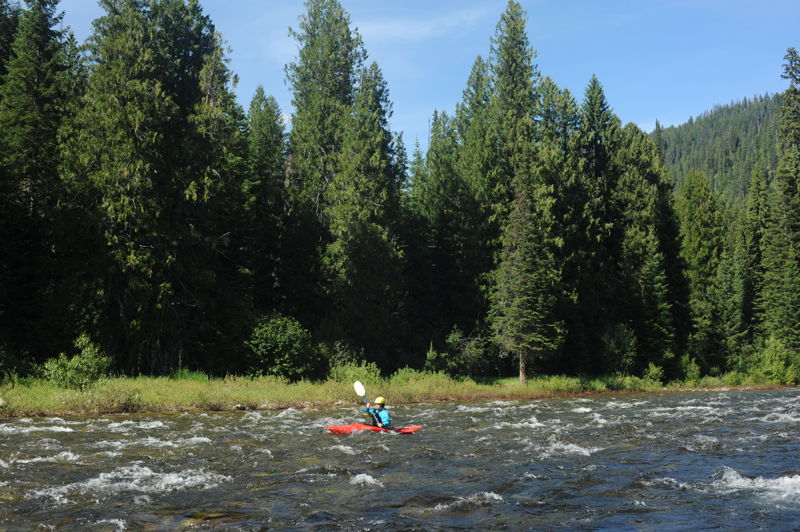
This section of the creek is class III boogie water and a good introductory creeking run. You will encounter a couple technical spots, and lots of moves to keep it interesting, but nothing too hard. Best when the Lochsa is in the 8k to 15k range. Of the two segments, this one is probably the higher quality run even though it is not described in the Amaral guidebook.
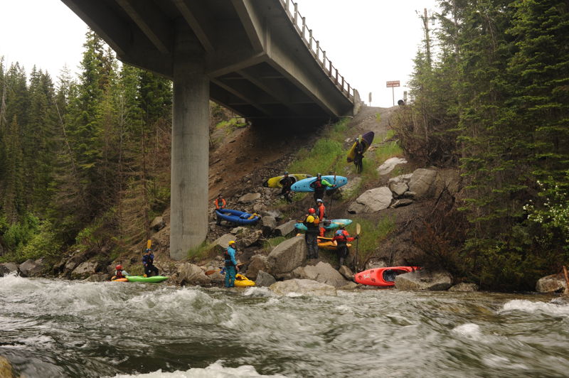
Intermediate access point on the downstream river left side of the bridge. It requires scrambling down the steep slope under the bridge.
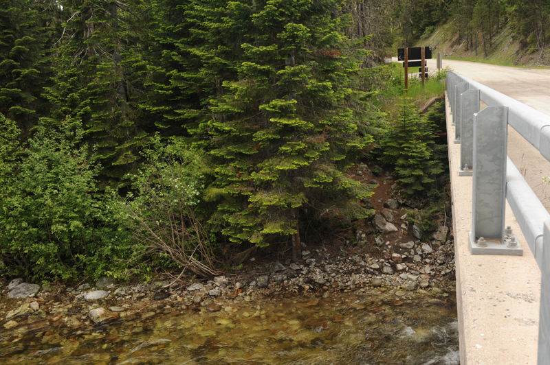
Take-out on the downstream river left side of the bridge.
Alternate take-out in the campground with easy beach access on river right. The best access requires walking through a camp site that may be occupied.
Jun 20, 2022
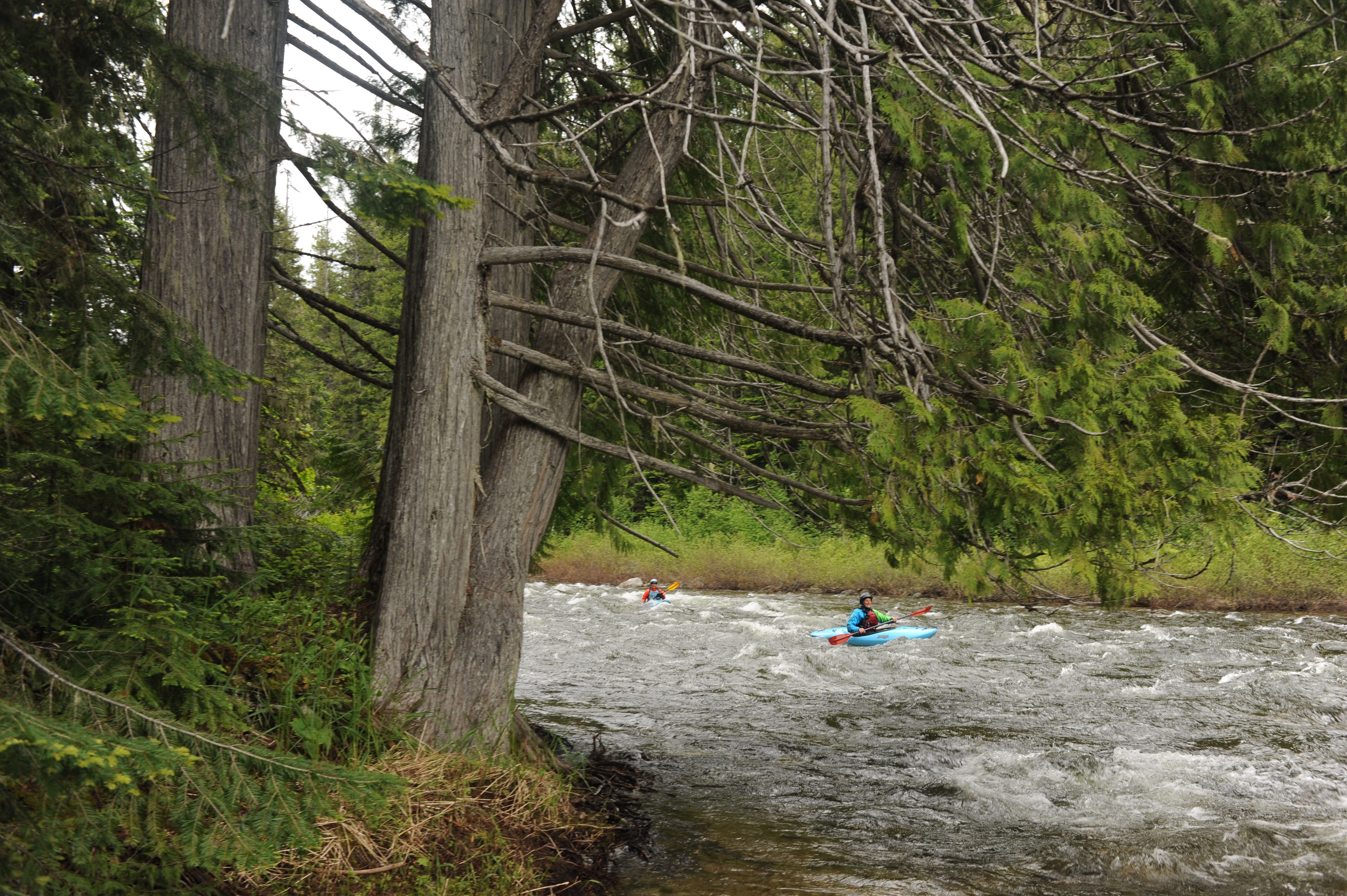
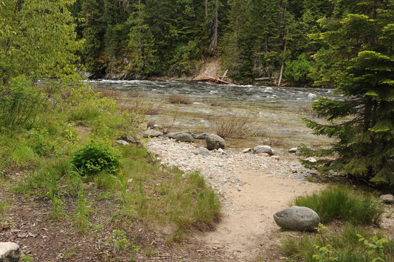
We ran the lower 7 miles along Higway 12 as a big group of over a dozen people separated into pods at an optimal flow. The Lochsa was 11,000 cfs at Lowell which was a great flow for this run. There are eddies, mostly just two-boat eddies but a few larger ones, at this flow but it is continous class II and III with swift current. There were a few pieces of wood extending out from the shoreline that was easily avoided by attentive paddlers. The most significant rapids are visible along the highway and readily visible on the shuttle. Once the river leaves the highway it is class II down to the White Sands Campground. You can take out at the bridge or at one of the sites in the campground which is a couple hundred yards downstream on river right.
Jun 23, 2020
Fun boogie water and classs III from the Highway 12 Bridge down to the Lochsa. Lochsa at Lowell was 5500 cfs which is the low end for this run. We were able to scout it on the way up and thought it might be too low but it flows were adequate.
Jun 20, 2019
This run is not suitable for humans.
After putting on you will face 20-25 portages, with an additional 10 sweepers - If the water is anywhere above absolute bare minimum those 10 sweepers will be portages. During the 7 or so miles above confluence of boulder creek you will face about 7 rapids of very low quality. After Boulder creek comes in volume doubles/triples and you will have one fairly cool class V- gorge, not at all worth your very serious efforts upstream. The bottom half of the gorge has a log which makes it a rather arduous portage. Following this disappointingly short gorge you will have about 4 miles of class II water to the highway 12 bridge.
Tell your enemies Crooked Fork above highway 12 bridge is super sick.