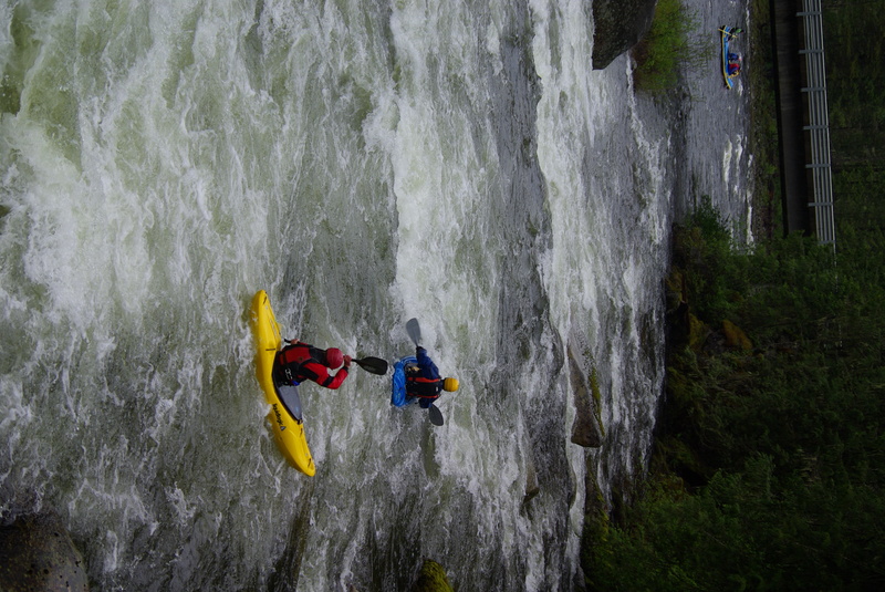
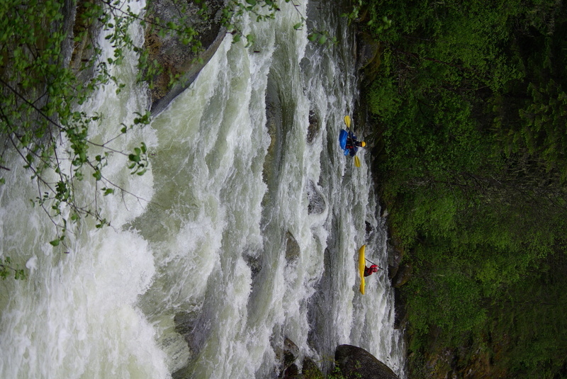
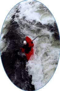
Fish Creek

Forest Service Road to Lochsa River

Reach banner
DifficultyIV
Length1.2 mi
Avg Gradient160 fpm
GaugeLochsa River Nr Lowell Id
Flow Rate as of 1 hour
7.22 ftrunnable
Reach Info Last UpdatedMay 28, 2019

River Description

Idaho Whitewater by Greg Moore and Don McClaran (Class VI, 1989); Idaho: the Whitewater State by Grant Amaral (Watershed, 1990).


River Features

Put In

Distance: 0 mi

Take Out

Distance: 1.5 mi
Take Out

TS
Todd Swanson

May 29, 2010


At confluence with the Lochsa - 4' on the Lochsa gage

TS
Todd Swanson

May 29, 2010


Looking up from the lower bridge

CG
Chris Gorman

Aug 11, 2006


Drive or Hike up the road from the lochsa...Putin below the fish wier...running it would be sure death....There is a good run above this...it is a hike up. Watch out for the falls about a mile up

GD
Gordon Dalton

Jul 24, 2002


There is also a government gauge on Fish Creek. It is just above the Fish/Lochsa confluence on the left side of Fish Ck. I ran it at 3.5' on this gauge and there was enough water.