Little Salmon
2. Hazard Creek to Salmon River at Riggins
Jun 26, 2024
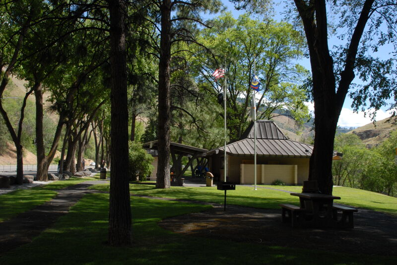
Access point photos on the drive along Highway 95.
Jun 14, 2019
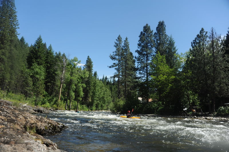
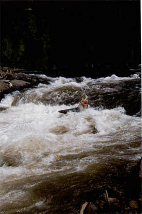
All clean and good to go at 2200 cfs. Several big holes to avoid particularly in the first half of the run, but experienced class IV boaters should be able to boat scout it. Take a look at Amphitheater. The river was very continuous at this level. Despite the length of this 20+ mile run, we were able to boat from Hazard Creek to the Main in under 4 hours--it moves fast. When you get to the Main, stay alert for the take-out which comes up quick on river left.
Aug 6, 2006
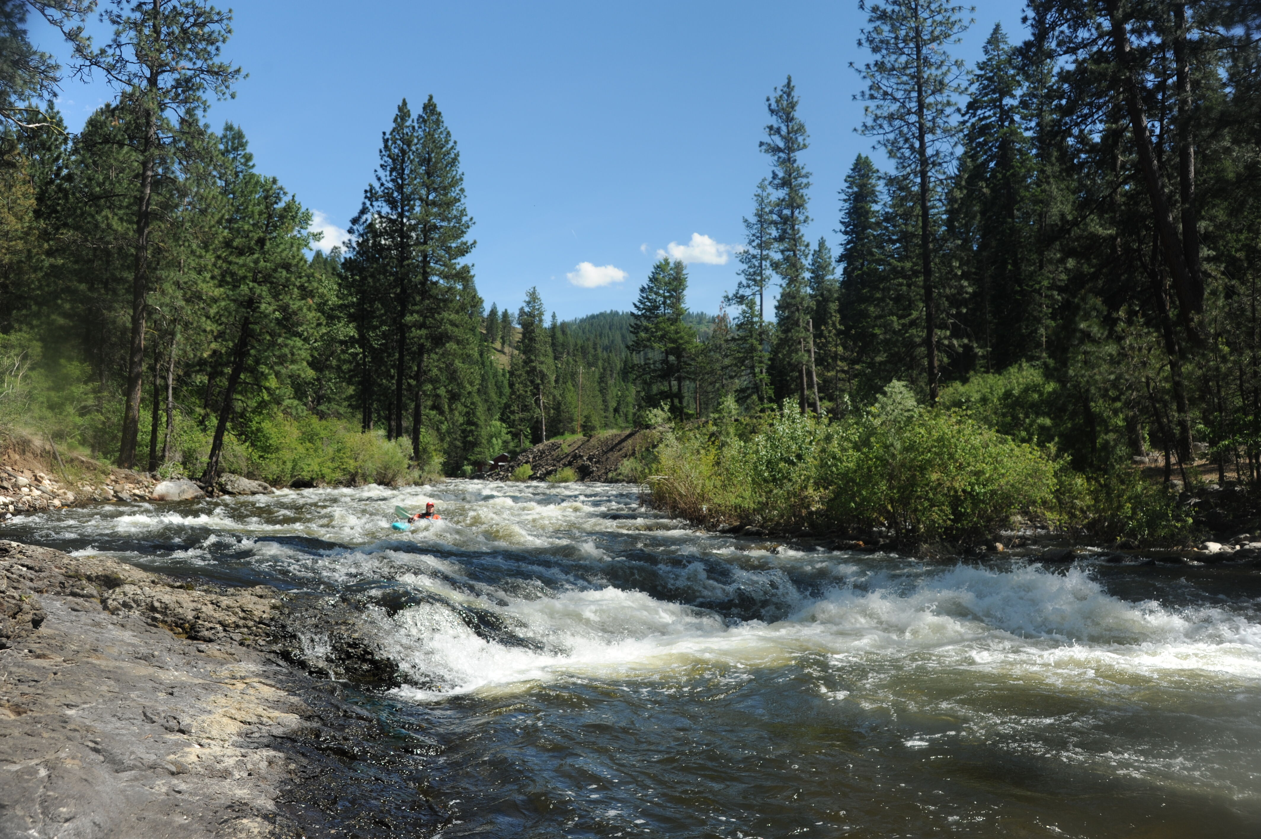
At 4,500 cfs Amphitheatre is pretty much washed out. The rest of the run is amazingly fun continuous big water. Check it out early spring.
Jan 1, 1900
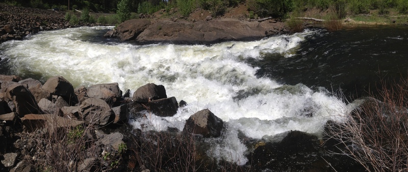
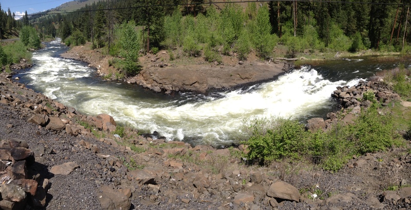
This drop partially washed out in December '96, so it's not the killer hole of death that it is described as in the older guidebooks. It's a lot like Iron Ring on the Upper Gauley. Watch out for the pourover downstream and the tree. The nastiest rapid is downstream a short distance where two big offset holes and a pourover guard a line a little wider than a canoe. I'm not sure about the distance, but when a 20 mile run takes 2 hours, all distances seem shorter than they really are. This all mellows out considerably below 3000cfs.