Lochsa
1 - Powell to White Pine (Indian Grave Creek)
| Difficulty | II-III |
| Length | 26 mi |
| Avg Gradient | 28 fpm |
| Gauge | Lochsa River Nr Lowell Id |
| Flow Rate as of 1 hour | 2.95 ftrunnable |
| Reach Info Last Updated | June 5, 2022 |
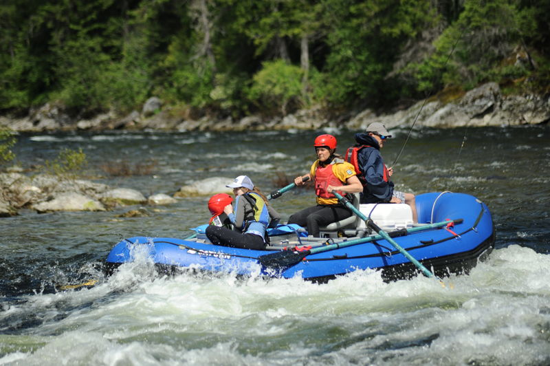
For those who wish to enjoy the beauty of the Lochsa without the intensity of the more well-known sections downstream, you will not be disappointed. The entire run is roadside and most of it is visible on the shuttle drive making it easy to get an assessment of the character of the run.
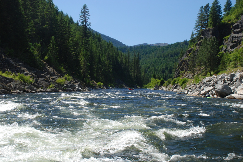
From the start of the run where the Lochsa forms at the confluence of the Crooked Fork and Colt Killed Creek, the river is mostly swift but straightforward class II. You will pass by a few cabins and the Powell Ranger Station complex in the first couple miles. In this upper segment, the river valley is a little wider and flatter than the downstream sections. About six miles in, you will encounter the first significant rapid known as Cold Storage. This drop is a class III+ rapid that is right along the road and can be easily scouted on the drive up. It is the biggest rapid on this segment where the river drops through a series of big waves in narrower section of the channel constrained by bedrock. The line is generally down the tongue to the right of center. The runout continues for at least another half mile downstream with lots of fun features.
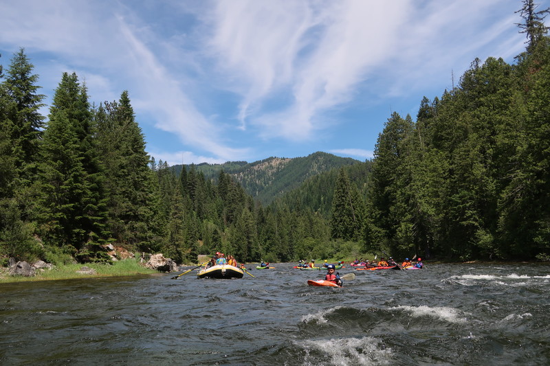
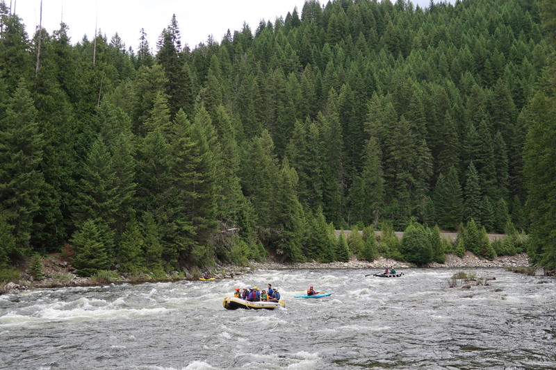
The next 10 miles or so down to Colgate are full of fun class II with a few distinct rapids that are in the class II/III range that are relatively easy to boat scout. Although the current is swift throughout this reach during the spring snowmelt, all of the rapids have good recovery sections at the end.
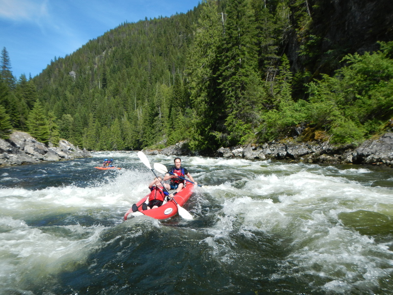
From Colgate it's about a nine mile run down to White Pine and this run is a nice beginner whitewater trip that can be done on its own. Just downstream of the dispersed camping area at Colgate, the river flows over a fun class II/III rapid with a couple of waves at the top and a nice tongue right of center. Below here the river is mostly lively class II. Below the Mocus Point Pack Bridge, about halfway into the run, the river is punctuated by a few more distinct class II/III drops. The run finishes off with Indian Grave Ra
...
Access on river right in the campground. The easiest access point requires walking through a campsite. It would be beneficial to have a dedicated river access and day-use site here.
River valley narrows following a gravel bar island that marks the approach to this rapid that is approximately 1/4 mile of fun waves and holes you can scout from a pull out along the highway. Highway Mile 157.1.
Large waves but a straight shot. Highway Mile 155.2.
Straightforward rapid. Highway Mile 148.3.
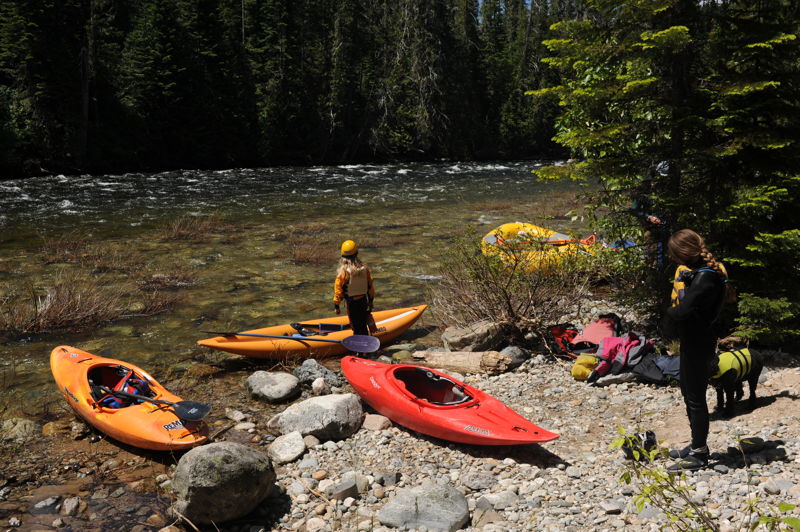
Dispersed camp site at Colgate with a good river access point at Highway 12 mile 147.7.
Access on river right. A narrow road heads down to the river but there is ample parking for several vehicles up at the highway pull-out. Highway Mile 138.5.
Jun 22, 2022
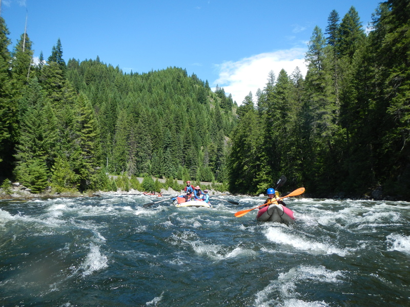
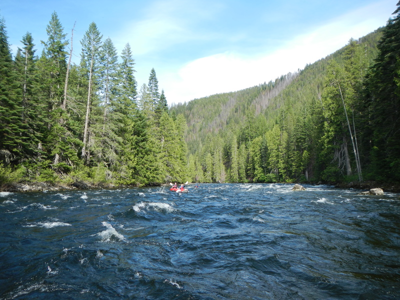
At this flow, we ran the reach from White Sand Campground to Colgage Access, approximately 16 miles, in 4 hours. This included a lunch stop. The river has great continous class II whitewater at the start. Cold Storage is a step up in challenge compared to the rest of the run and we had a couple swims but everyone came through fine.
Jun 21, 2021
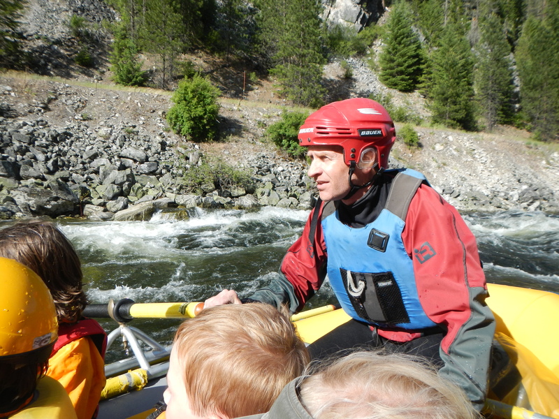
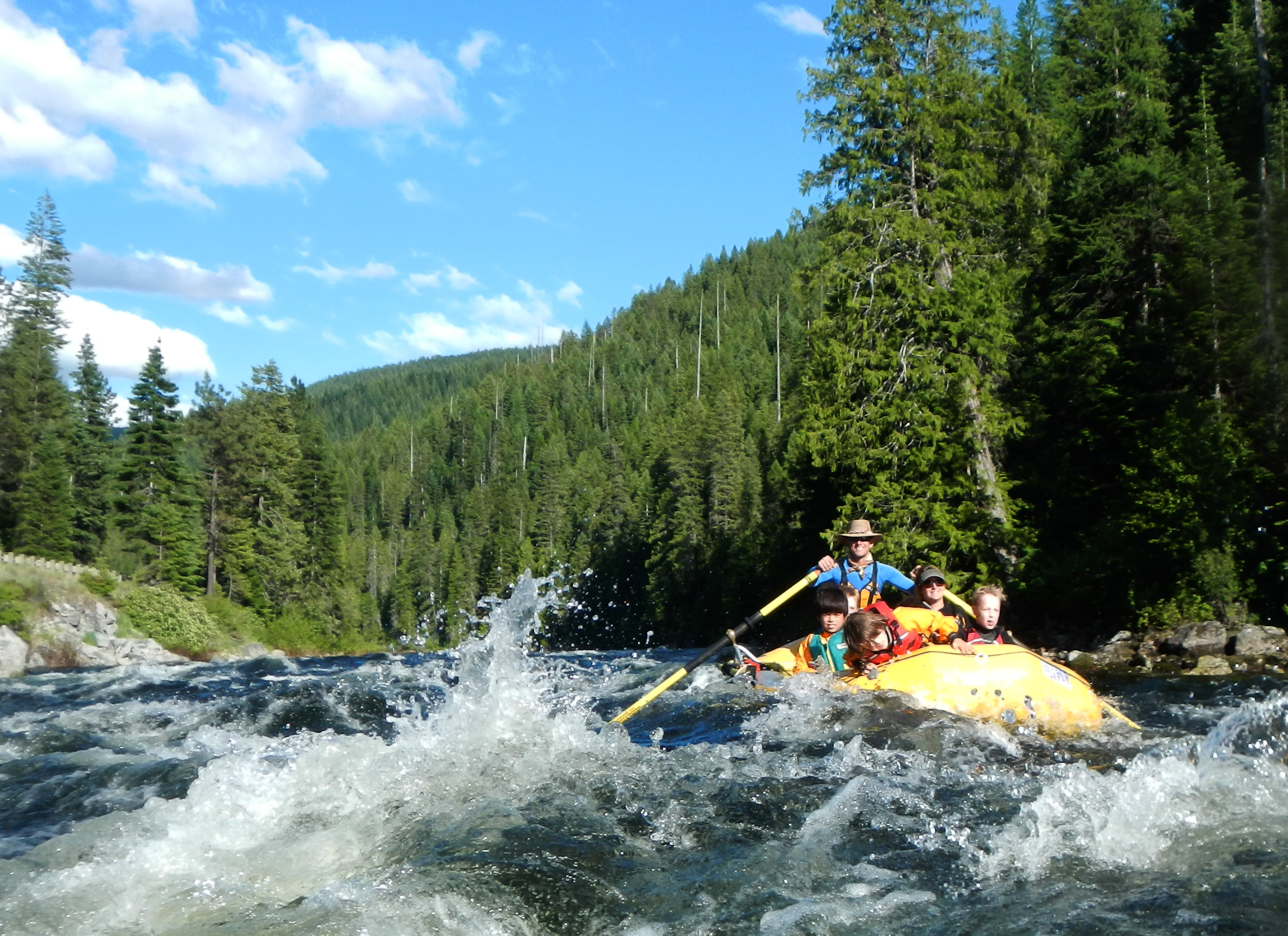
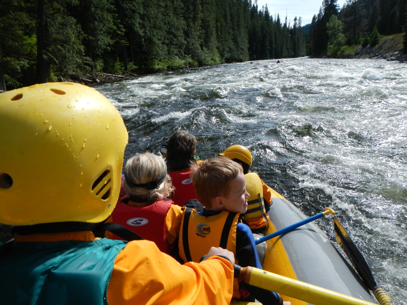
Idaho With Kids on the Lochsa
Jun 21, 2020
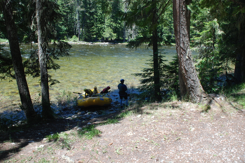
Colgate to White Pine with the kids.
Jun 26, 2018
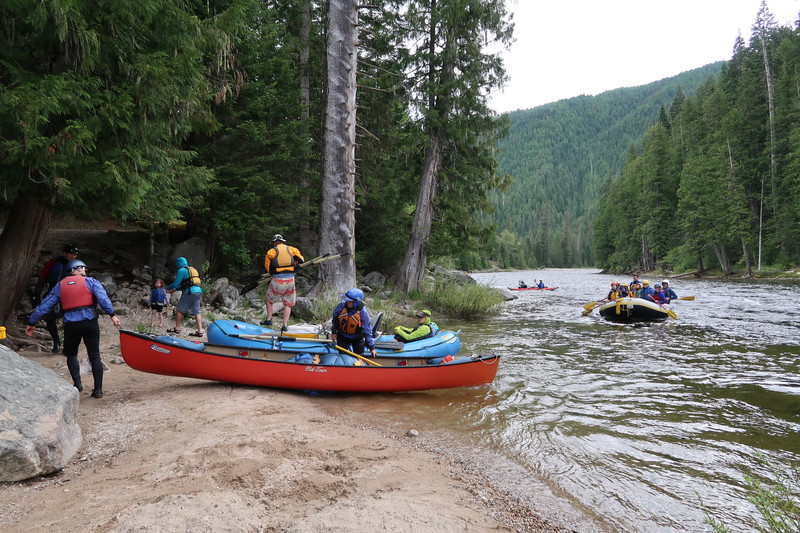
Family trip on the Colgate to White Pine section of the Lochsa
Jun 23, 2018
Family trip Colgate to Whitepine
Jun 17, 2015
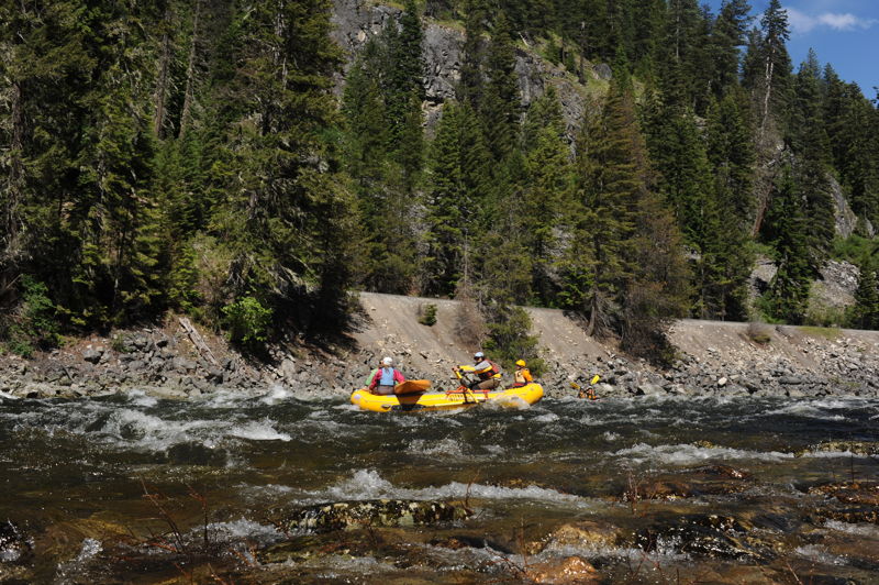
Trip down Section 1 of the Lochsa from Colgate down to White Pine at lower flows.
Jun 21, 2014
Trip from Powell to Colgate
Jun 28, 2012
A good class II section on section 1 of the Lochsa and a day trip with the kids.