Lochsa
3 - Wilderness Gateway or Fish Creek to Split Creek(Lower Lochsa)
| Difficulty | III-IV |
| Length | 12 mi |
| Avg Gradient | n/a |
| Gauge | Lochsa River Nr Lowell Id |
| Flow Rate as of 1 hour | 1000 cfsbelow recommended |
| Reach Info Last Updated | May 26, 2025 |
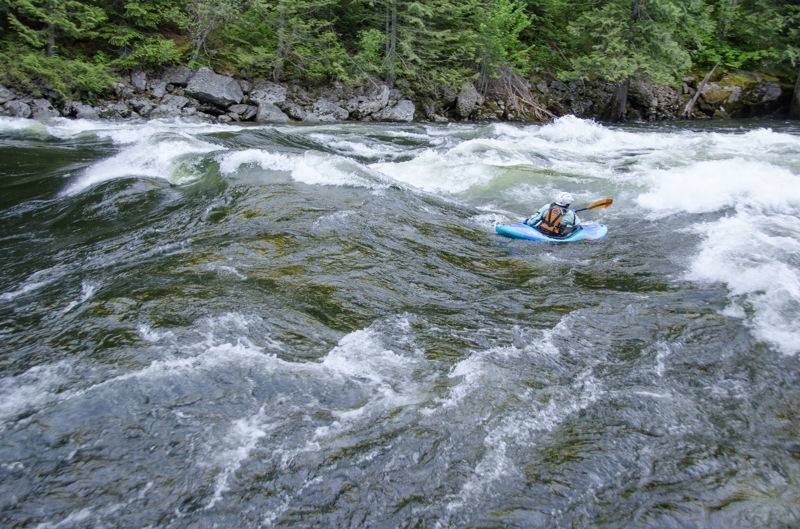
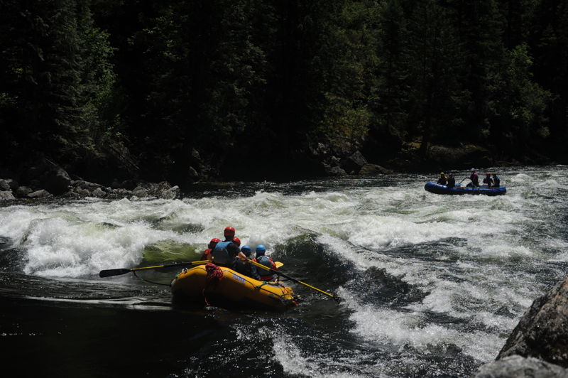
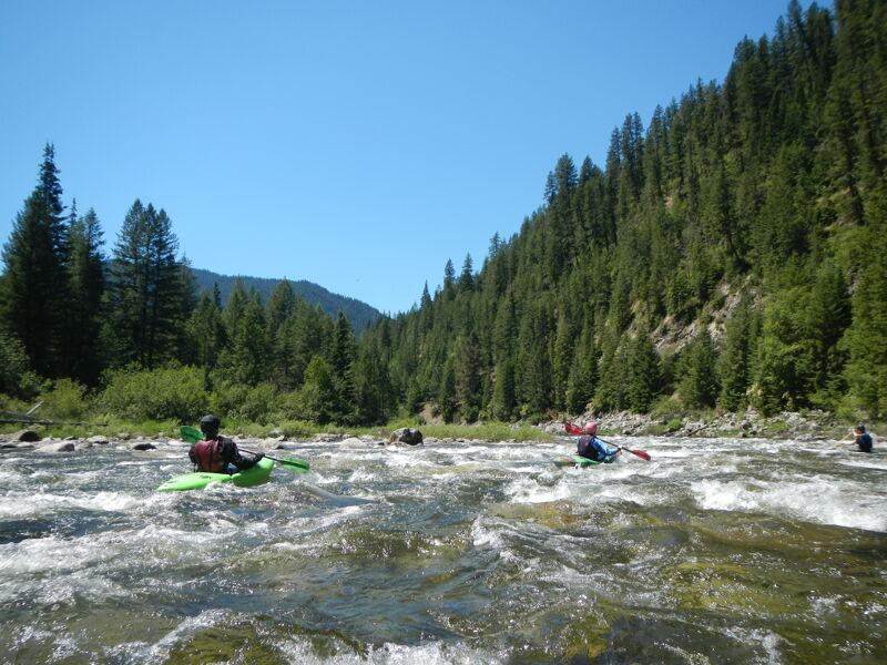
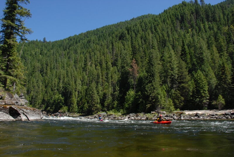
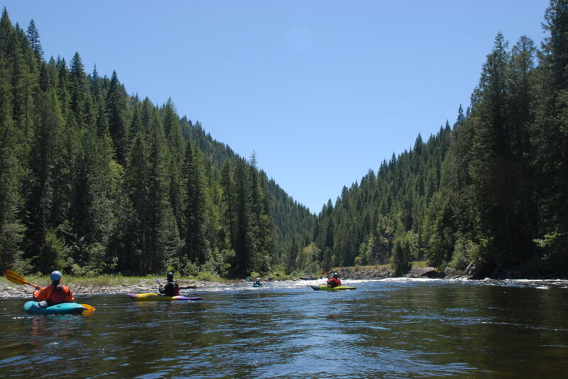
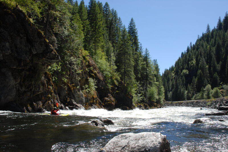
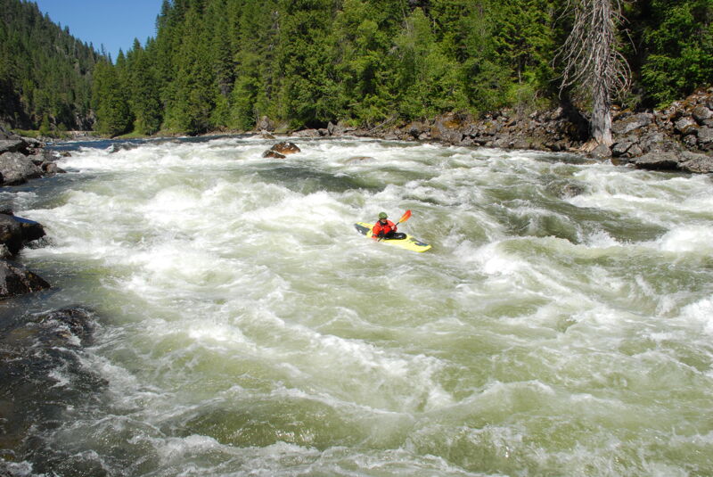
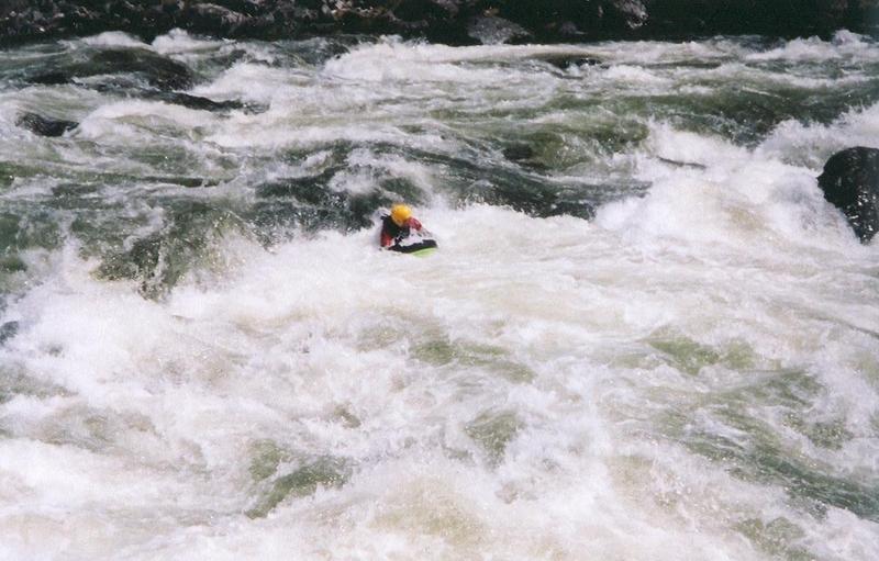
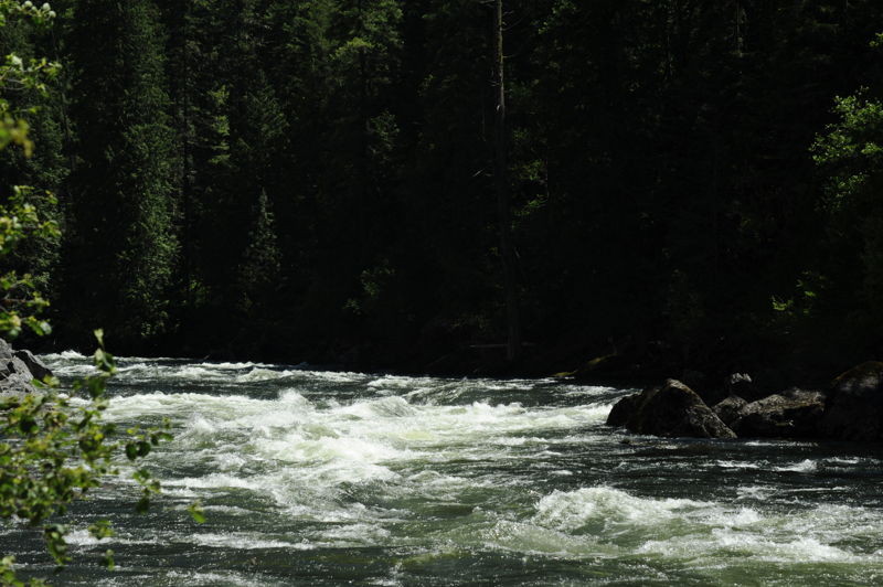
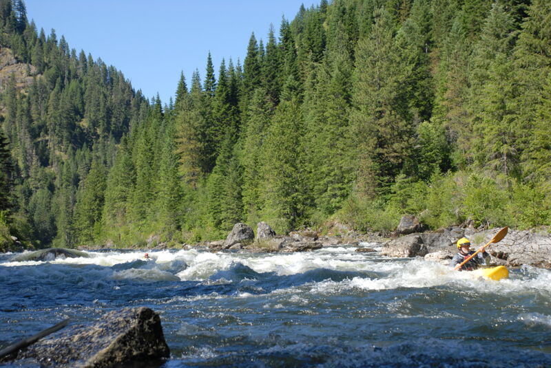
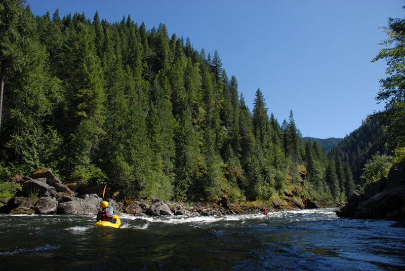
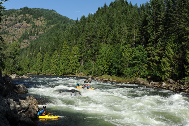
The Lochsa is truly an Idaho Classic, offering paddlers miles and miles of big beautiful whitewater. The most commonly run section is from Fish Creek (2.5 miles downstream of Wilderness Gateway) to Split Creek, and features over a dozen big named rapids and some great playboating.
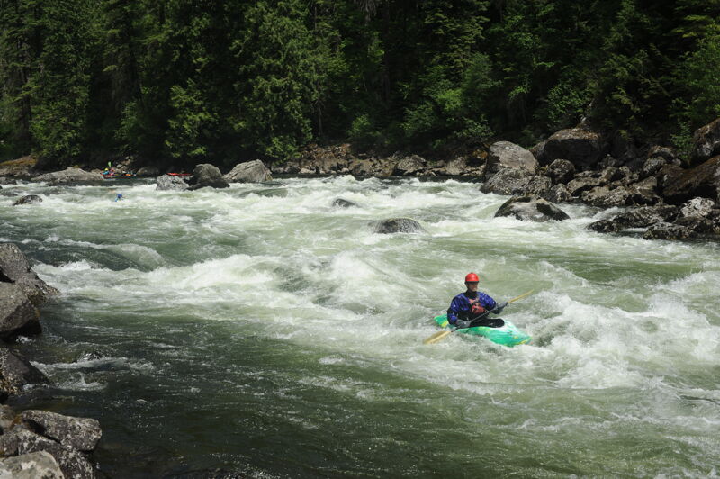
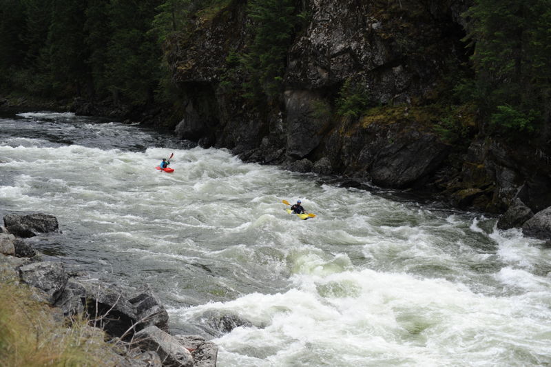
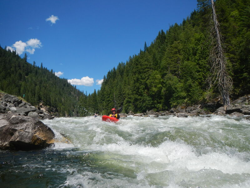
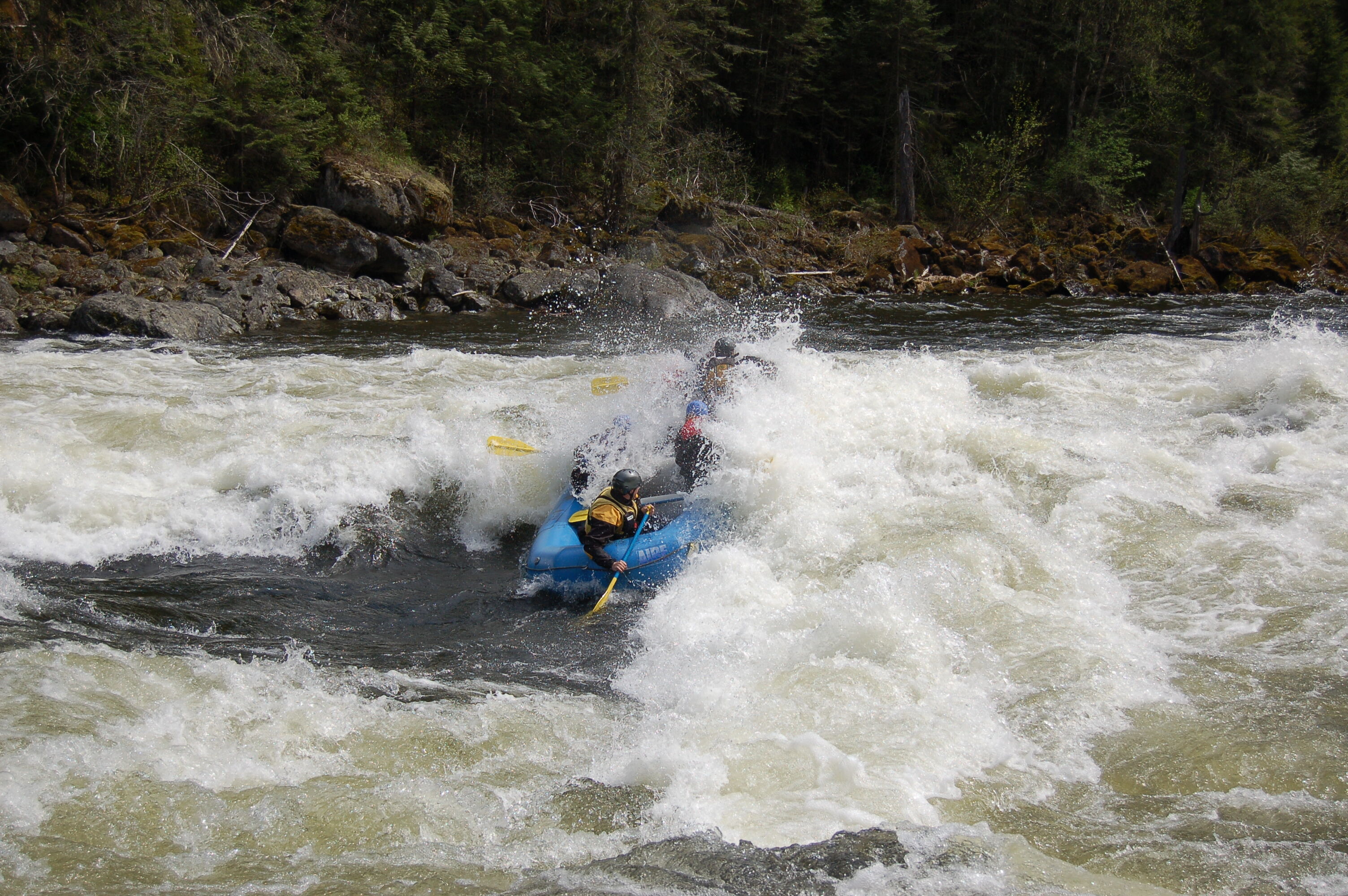
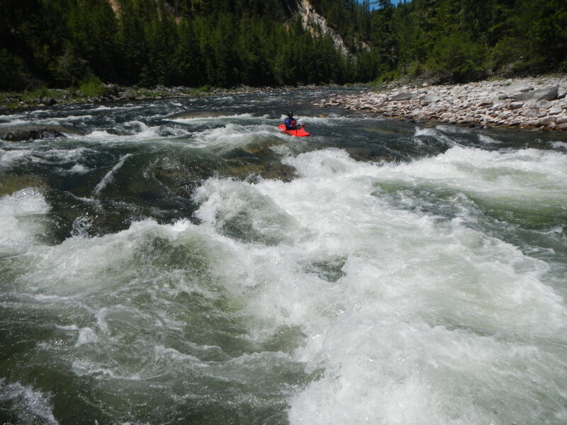
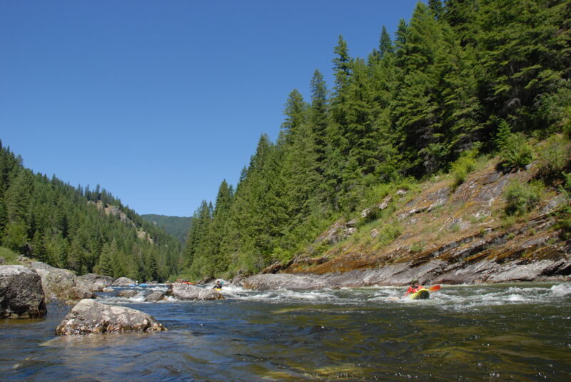
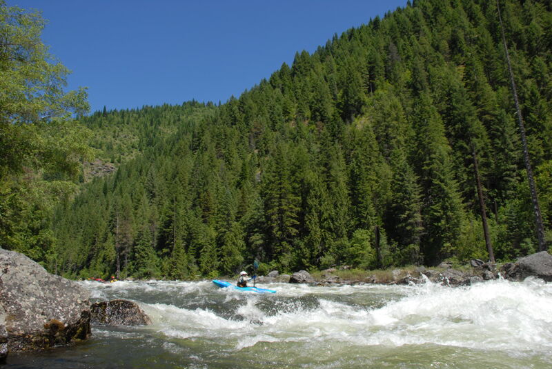
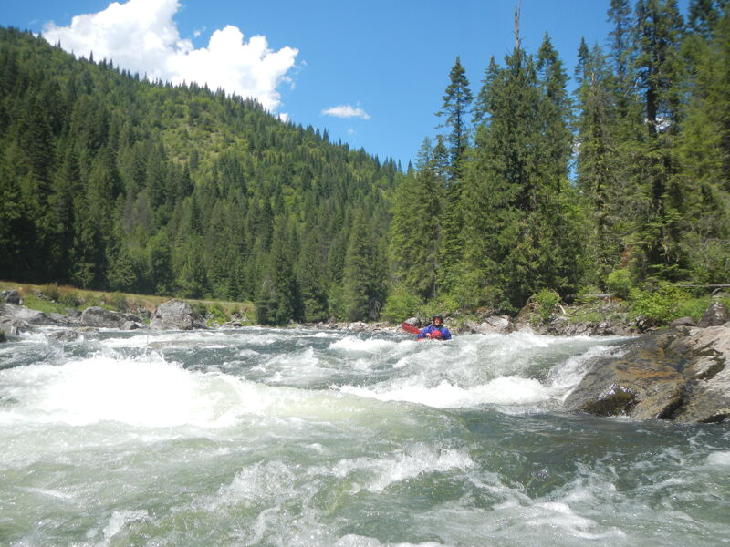
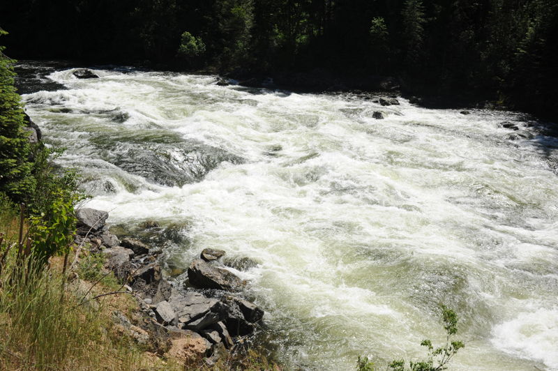
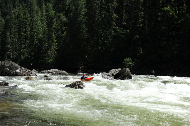
At low water the Lochsa is an enjoyable paddling trip with some technical moves, some nice small play features, and pools between each of the rapids. At medium water the rapids link up with swift water and become big fun rollercoasters with few technical moves but there are a few holes to avoid. At high water the Lochsa is a wild ride of towering waves and thundering holes that is ridicuously fun (if you stay in your boat). Lochsa Falls is one of the classic drops on this run and around Memorial Day weekend, typically in the highwater season, it's quite a scene with spectators lining up to watch the show from the pullout adjacent to the rapid at Highway 12 mile 114.1.
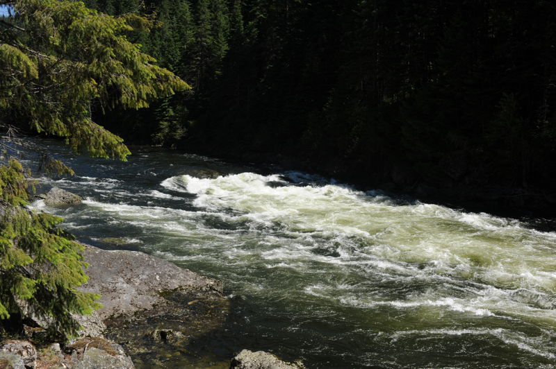
You will find a number of good play waves with Pipeline as the centerpiece, a beautiful surf wave that can be enjoyed as a park-and-play feature from the pull-out at Highway 12 mile 113.5. Most rapids are run right of center as a general rule of thumb and can be scouted from highwater 12 (beware, though, of the Idaho sandbag: many Idaho rivers look easy from the road and are actually confusing and stompy on the water).
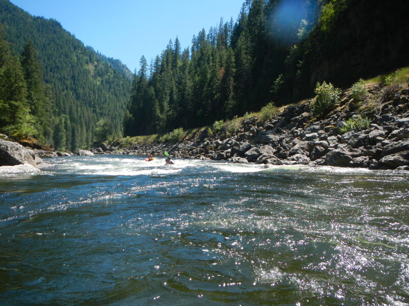
The camping and hiking around the Lochsa are great. Superb water quality and scenery, along with booming and relatively straightforward whitewater, make the Lochsa a true Idaho treasure.
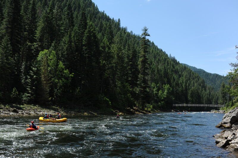
Access: Wilderness Gateway at Highway 12 mile 122.7 is typically identified as the start of the run known as the 'Lower Lochsa' but boaters, and particularly rafters, often use the nice Fish Creek River Access site 2.5 miles downstream at Highway 12 mile 120.2. The Fish Creek Access has a nice raft slide that is easier than the carry in at Wilderness Gateway. The take-out is at Split Creek River Acces
...
Upstream river right of the Wilderness Gateway Bridge at at Highway 12 mile 122.7
River maintains class III character in a wide, open, twisting rapid. Highway 12 Mile 122.0.
Nice USFS put-in with raft slide. Highway 12 Mile 120.3.
Long wide open twisting rapid with three parts and a major wave segment at the bottom around a left turn. Be cautious of the hole at the bottom of the rapid on river right. Highway 12 Mile 120.1.
Popular play spot at lower water levels. Around sharp right bend adjacent to sandy beach on river left at the bottom of the rapid. Highway 12 mile 119.8.
Short rapid with variety of features at varying water levels. Usually has large waves. Located at Highway 12 Mile 119.2.
Two large rocks on river left become holes, hydraulics, then huge crashing waves as water level rises. Shear rock on left with sneak on right at most levels. Highway 12 Mile 119.1.

Straight shot with some breaking waves at higher levels. Highway 12 Mile 118.8.
Straight forward rapid whose low water holes become high water waves. Highway 12 Mile 118.1.
Hard left corner pushes water to outside of turn at high water. Low water chute down left is a fast ride with a big hole at the bottom. Highway 12 Mile 117.7. A large pull out here makes this a popular stop for spectators.
Forms one of the biggest waves on the river at high water. Backed by a series of waves. Recognized by a bedrock wall on river left. Highway 12 Mile 117.0.
Big waves and an occasional hole. Watch for pourover on right shore. Usual run right to left. Highway 12 Mile 116.6.
Changeable rapid with varying features. Pushy water with lots of side action and a big pour-over on the bottom left. More technical at lower flows and worth a scout. Highway 12 Mile 116.0. Easily recognized by the horizon line at the highway mile marker that is visible from river level.
Under mossy granite cliffs. Washes out at higher levels. Surfing waves at lower levels. Highway 12 Mile 115.6.
Big waves at high water give way to smaller more technical drop at lower levels. Highway 12 Mile 115.3.
Chains of waves that increase in size with rising water levels. Can cause problems at higher levels due to side action. Highway 12 Mile 115.1.
Rocks begin to emerge making this a technical drop at lower water and a mixmaster of side currents at higher levels. Highway 12 Mile 114.6.
At higher levels curling and breaking waves continue to the next rapid. The rapid begins to disappear at lower levels. Highway 12 Mile 114.4.
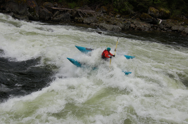
A very short rapid with a falls-like vertical drop. Left side ledge becomes a large pour over then a crashing wave at higher levels. Right side tongue is navigable at most levels. A popular viewing spot and landmark at the mile 114.2 pullout.
Continuous series of waves with few obstructions. Grows as water level increases. Highway 12 Mile 113.9.
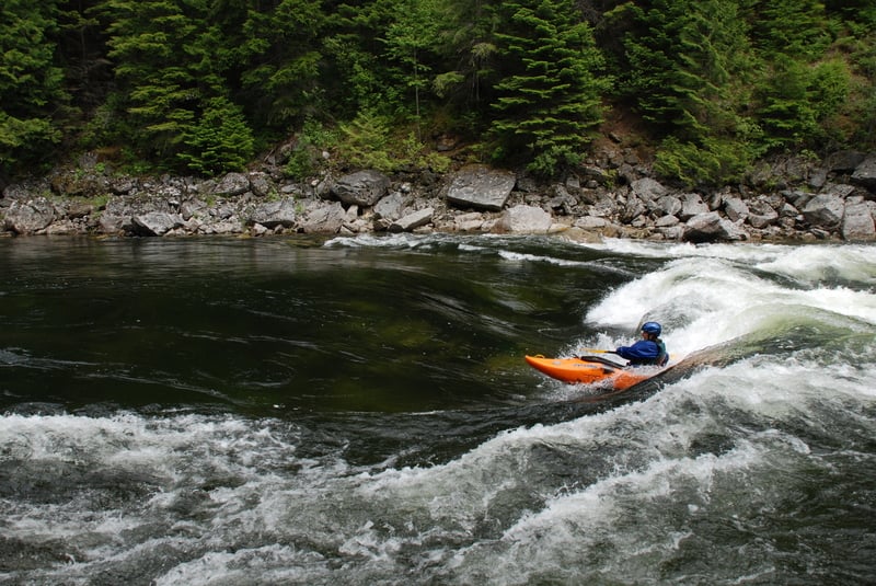
Classic park and play spot with large waves for surfing and playing. At lower flows the wave transitions to more of a hole than be sticky. Can be accessed from the pull out at Highway 12 Mile 113.5.
Straightforward rapid. Some holes and obstacles left and right. Old Man Creek, a larger tributary, enters river left. Tumble Creek, a smaller tributary, enters river right. Highway 12 Mile 113.3.
Rapid terminates against a cliff wall at the bottom. Usually no trouble avoiding it although the large V wave is quite pushy at high water. Highway 12 Mile 112.8.
Large waves and holes left and right with a route down the middle at most flows. Holes can be quite deceiving hiding behind waves. Highway 12 Mile 111.7.
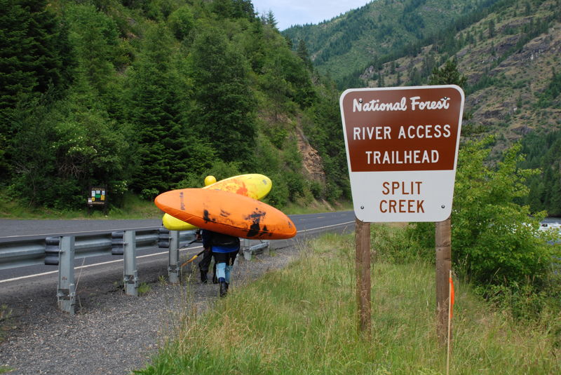
The take-out is on river right at the pack bridge at Highway 12 mile 111.4. Parking is available across the highway.
Jun 24, 2024
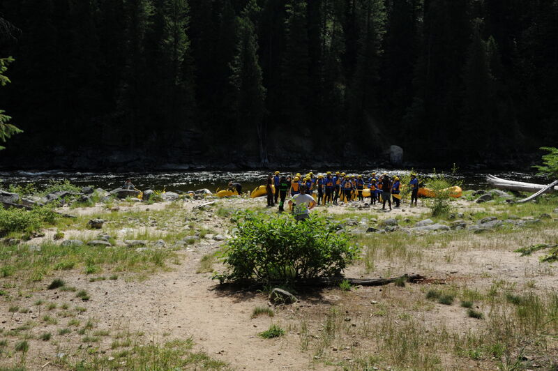
Good times on the Lochsa. We had a large group with paddlers who came and went over the course of a 20 mile run from Wilderness Gateway down to Apgar. The first 2.5 miles from Wilderness Gateway is class III at this flow. Some took out there and a few continued on down through a couple more rapids before exiting above the big drops at Bloody Mary and Grim Reaper. Several rejoined the group at Split Creek Access and we continued on down to Apgar.
Mar 1, 2024
A highway construction project will reduce traffic to one lane with delays up to 30 minutes through summer 2024. The Lochsa Ranger Station to Holly Creek Project is anticipated to begin March 4th and to close by mid October. The project begins at milepost 121.4 (approximately a mile upstream of Fish Creek access) and ends at milepost 130.3 (approximately a mile upstream of Nine Mile access on U.S. Highway 12. Wilderness Gateway Campground is at mile 122.7.