Salmon
9 - Hammer Creek to Snake River confluence(Lower Salmon)

| Difficulty | II-IV |
| Length | 55 mi |
| Avg Gradient | n/a |
| Gauge | Salmon River at White Bird Id |
| Flow Rate as of 54 minutes | 6930 cfsrunnable |
| Reach Info Last Updated | May 26, 2025 |
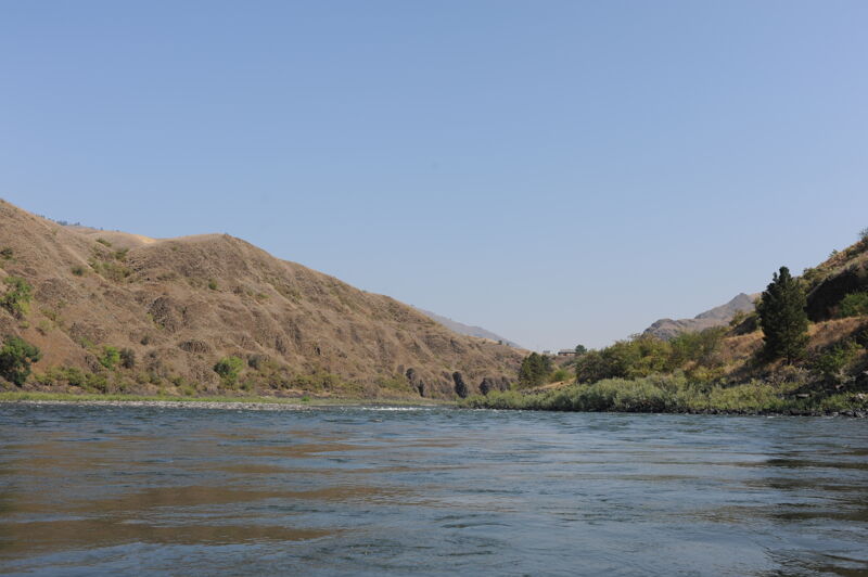
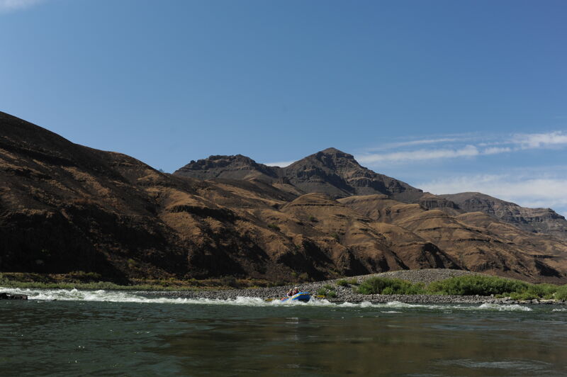
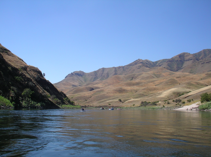
The Lower Salmon is a very special place, located downstream of the iconic whitewater town of Riggins, Idaho. Paddlers typically take 4 days to traverse the canyon, which is a prime example of the Canyon Grassland ecosystem. While most similar rivers are protected as Wilderness or Wild and Scenic [...]Read More
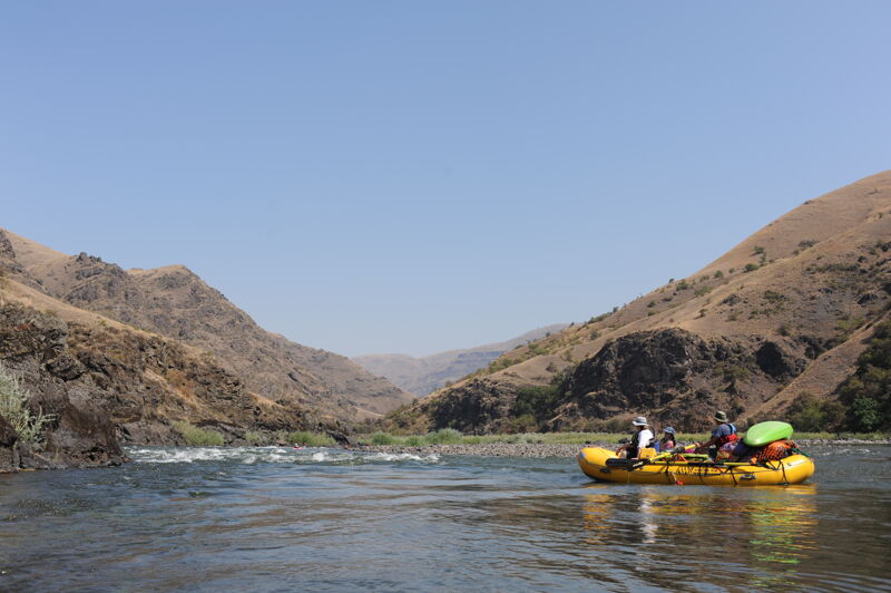
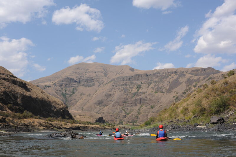
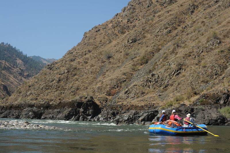
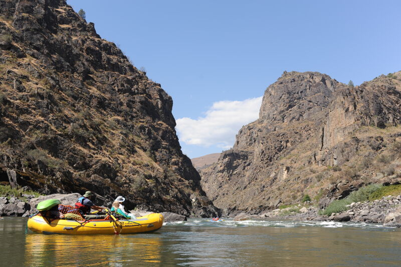
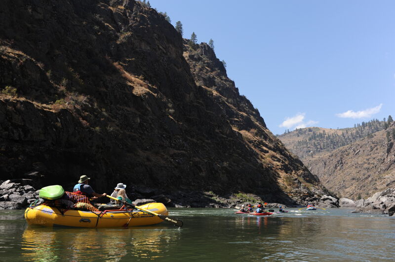
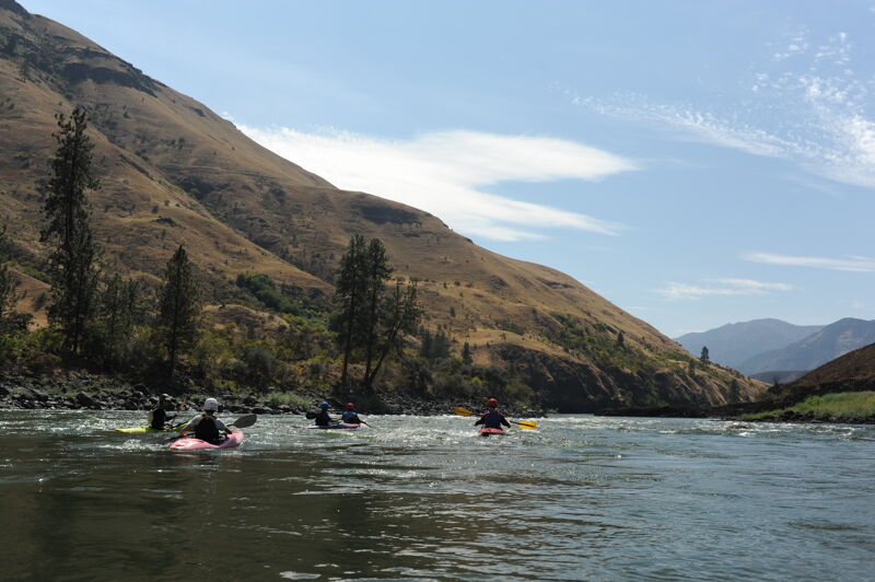
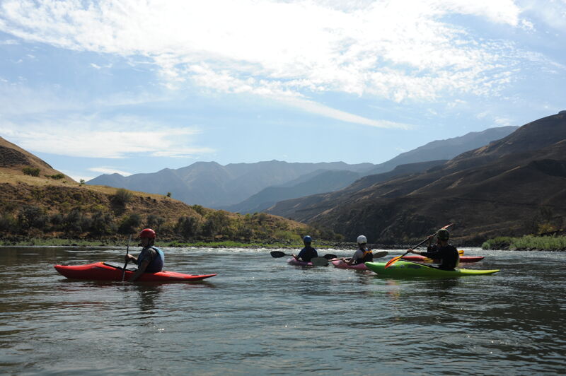
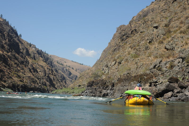
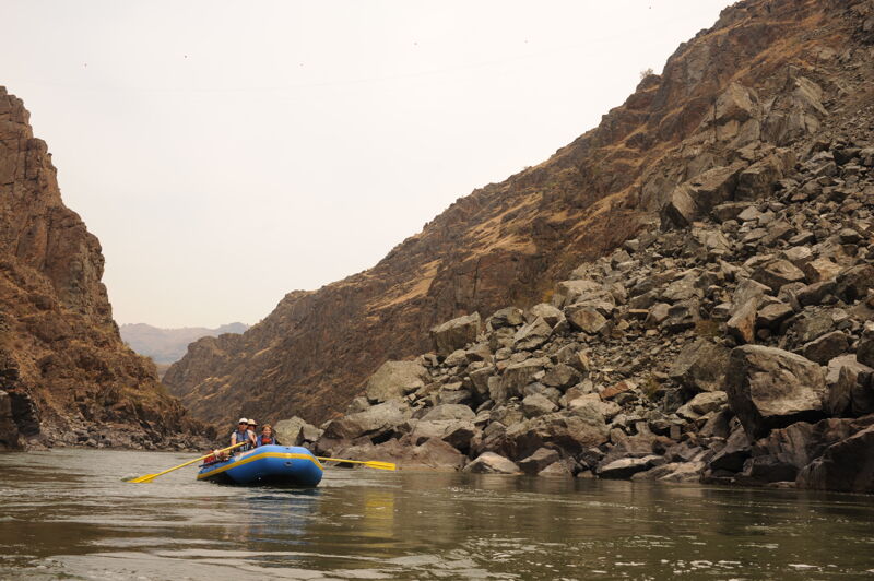
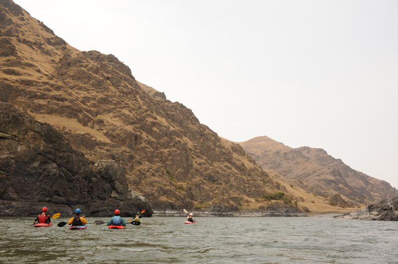
There are a few options for a Lower Salmon trip which typically lasts 4 to 5 days. This trip is a great summer outing with fun pool-drop rapids through beautiful canyon scenery and wonderful river beach camping. Rattlesnakes are very abundant along this river and one needs to be extremely careful.
The Hammer Creek Launch Site is located at river mile 52.5. The next 10 miles are often run as a day trip ending with the 2.5 Green Canyon. This canyon includes a few class III drops: Wright Way Drop, Demon's Drop, and ending with Pine Creek Rapid.
Pine Creek Launch is located immediately below Pine Creek Rapid (river mile 42.5). This access is a take-out for the shorter day run and a put-in for the multi-day trip that continues down to the Snake River.
From this access a road continues for a few miles along the river as you pass through agricultural land. The scenery is beautiful though and the 15 miles down to Snow Canyon contains several class II pool-drop rapids and nice sandy beaches.
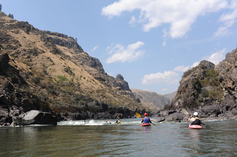
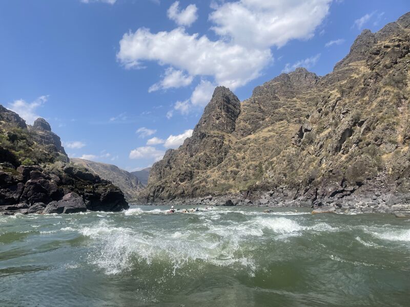
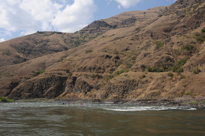
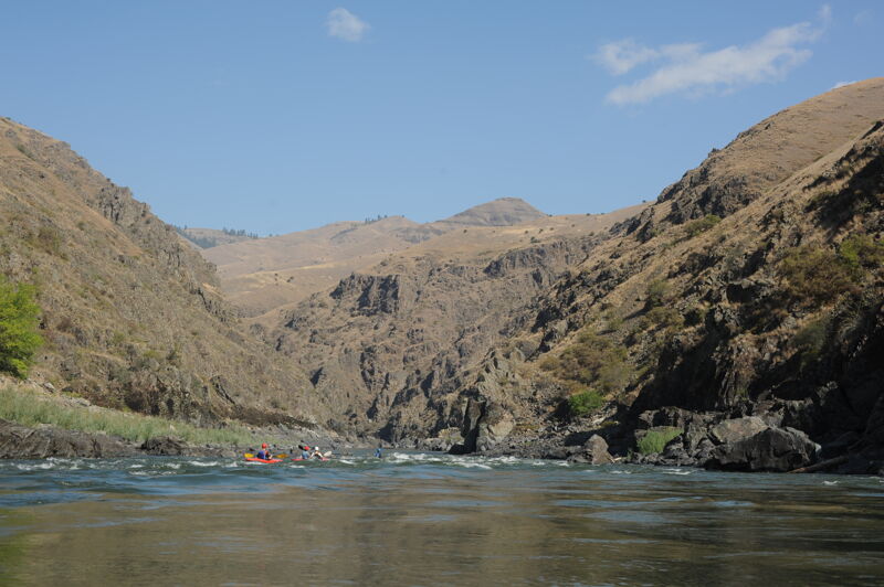
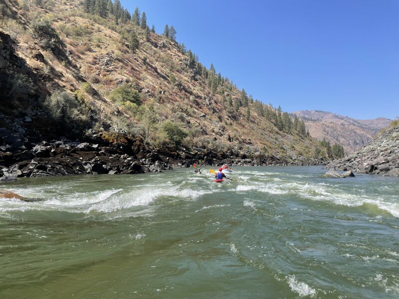
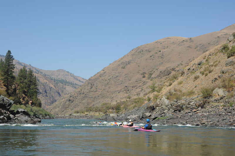
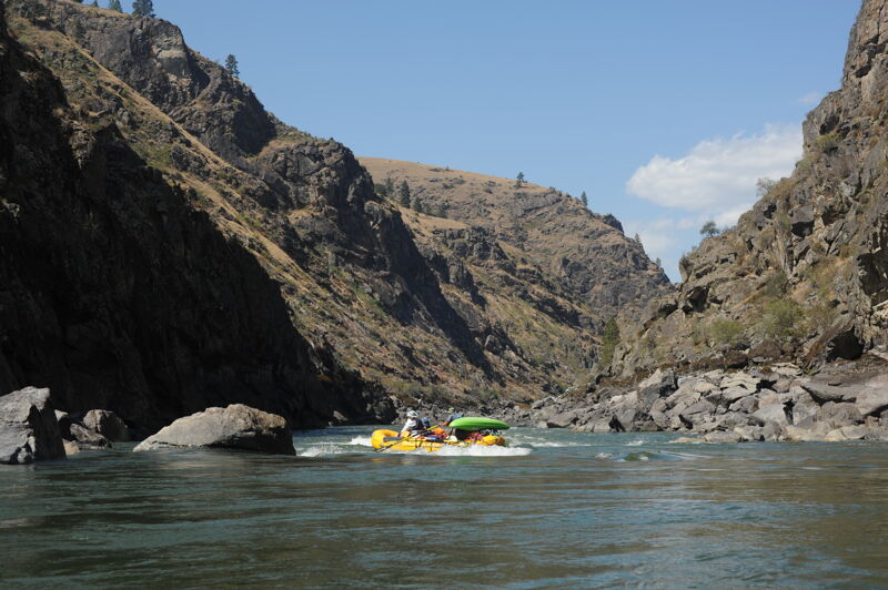
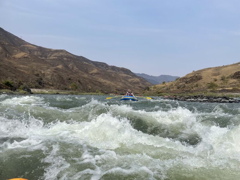
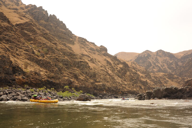
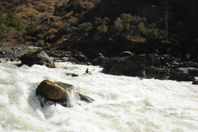
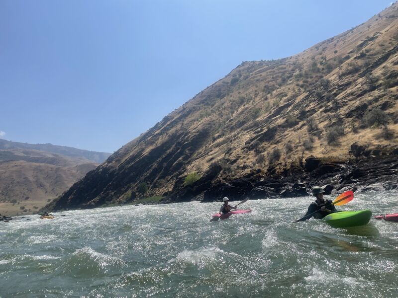
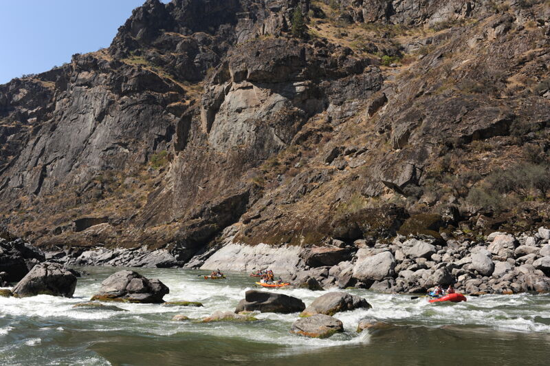
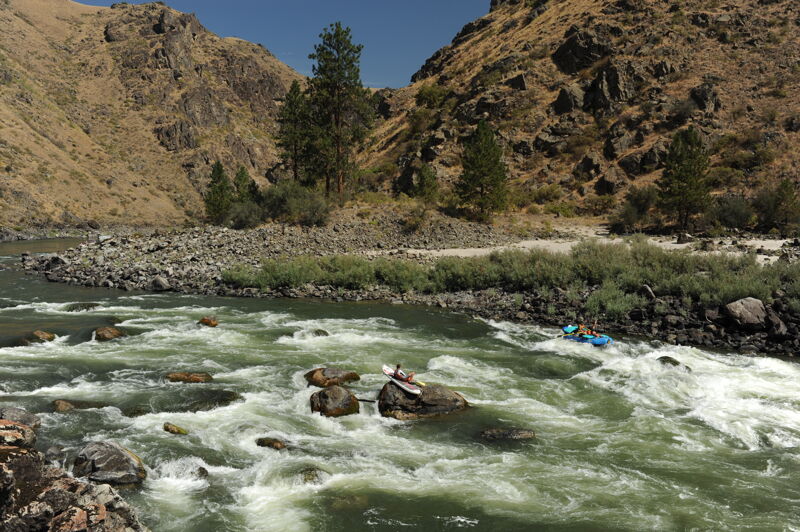
The last big camp is at White House Beach before you enter Snow Hole Canyon (starting at river mile 27.5). Snow Hole Canyon is 10 miles long and contains the most challenging rapids on the trip. The major rapids include Bodacious Bounce (class III), Half and Half (class III), Snow Hole (class IV), and China Rapids (class III). Experienced boaters will be able to boat-scout these rapids but getting out for a look from shore is always possible. There are also a number of class II rapids in this section and plenty of fun playspots.
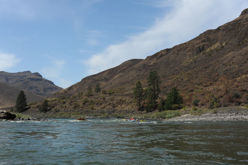
Shortly after China Rapids the canyon opens up with great beach camp sites. There is some private land and a few cabins in this 12.5 mile section. You will also begin to encounter jet boat traffic during the summer season. There are several fun class II rapids and one class III at Eagle Creek (river mile 13.5).
The river constricts again at river mile 5 with the start of Blue Canyon. This is a beautiful narrow canyon and a g
...
Day use site administered by the Bureau of Land Management. The site is largely undeveloped, but has easy access to the Salmon River. It is accessed from Highway 195 mile 223.5 where you turn onto Old Highway 95 for 0.3 mile to the access point. Located at river mile 55.1.
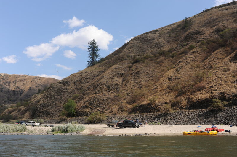
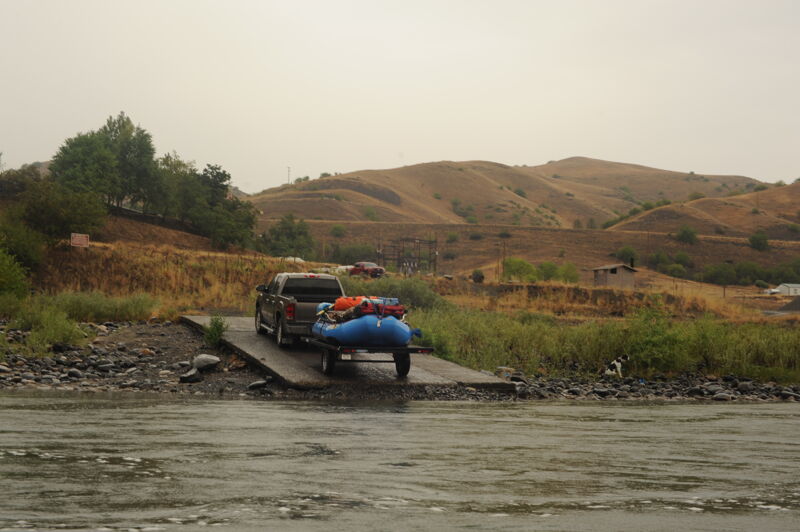
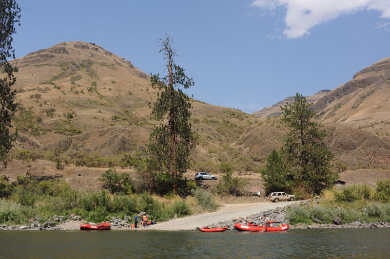
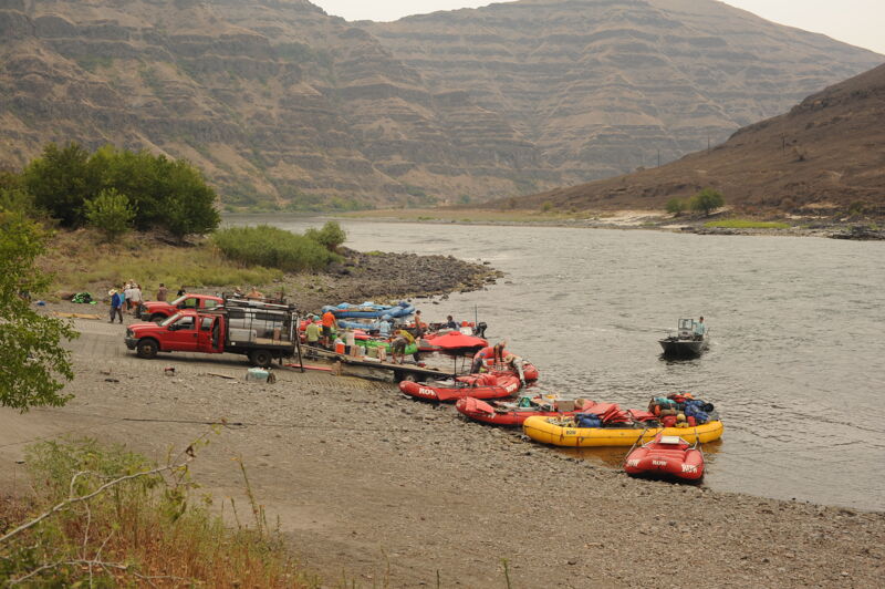
This site administered by the Bureau of Land Management has 12 campsites, a ramp providing river access, drinking water, restrooms and a RV dump station. It is accessed from Highway 195 mile 222.1 where you turn onto Old Highway 95 for 0.9 mile and then turn left on Doumecq Road to cross the river. Continue 1.6 miles along river left, and take a slight right for the 0.3 mile drive to the Campground. Located at river mile 52.5.
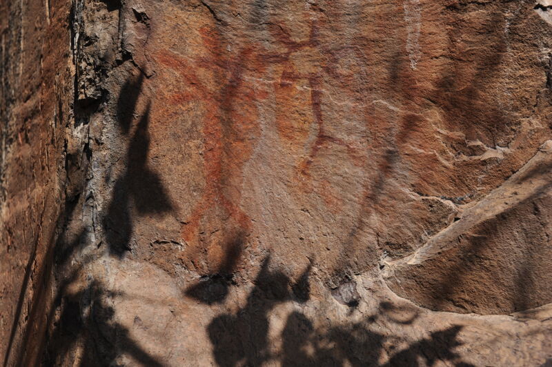
Pictographs are found on river right at the entrance to the 2.5 mile Green Canyon.
A straightforward rapid as you enter Green Canyon.
The last signficant drop in Green Canyon. Shortly after this rapid the canyon walls drop away as you approach the Pine Bar Recreation Site.
A fun rapid at Pine Bar recreation site with access both upstream and downstream of this rapid. If you are using this access put in above to run it or put in below if you want more of a warm up.
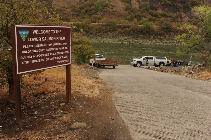
Campground, river access ramp, toilets, and water. This is the last public access point before the river enters the canyons and ranch land of the Lower Salmon on its journey to the Snake River.
Short drop with a big hole the right. This is the beginning of Snowhole Canyon that continues for the next 10 miles with limited campsites.
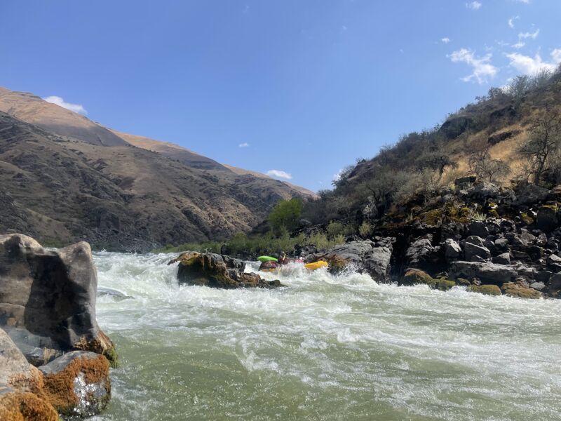
The signature rapid of Snowhole Canyon. Large rocks require manuvering with the preferred line dependent on river flow and your skill. The rapid has a good scout from river left and the preferred line is generally down the center right, manuvering around rocks along the way.
Requires some maneuvering and can be scouted from river left. The best line depend on your skill and the flows but there are generally more rocks to the right. Preferred lines are generally down the left side, manuvering around the rocks along the way. The canyon opens up downstream of this rapid marking the end of Snowhole Canyon.
Relatively straightforward rapid formed by the outwash from Billy Creek entering from river left shortly after you exit Snowhole Canyon. At lower flows a mid-stream boulder is exposed that needs to be avoided.
Barely a riffle at 10,000 cfs to class V at flows above 20,000 cfs.
This is the end of this river segment but there is no access here so the trip continues on the Snake River.
Heller Bar is located on the Snake River and is the first road-accessible access located 20 miles downstream of the Salmon-Snake confluence. The facility is used by floaters coming down the Salmon, Snake, and Grand Ronde Rivers as well as jet boaters headed upstream. It is administered by the Washington Department of Fish and Wildlife and requires a Discover Pass. Dispersed camping is available at the site.
Aug 2, 2025
Ran the river in middle of July. Great water level of 7000. The river moved well and the paddling was easy. There are named campgrounds in the guide book but there is lots more places to camp except as you get close to the confluence.
If you have a large group places are harder to find because all the commercial groups will send someone ahaed to score a campground early. This is agaiinst the rules but there was nobody on the river enforcesing this rule. We did 28 miles on day 3 looking for places to camp. Not hard at these flows but everytime we got to a large site it was already clamed well before the time.
Lots of wildlife and we had a 10 foot sturgeon swim up to our camp and show off. Amazing!
Be prepared for the last 10 miles of snake lake, there are intermittant rapids but a lot of dead water.
Also, since the snake is dam controlled it goes up and down over the course of a day. So things will wash away. Plan accordingly and tie your boats up high and don't leave anything next to the water.
Jul 13, 2022
Left Hammer Creek on 07/08 in the late afternoon and came into Heller Bar about noon on 07/12. This was our first time on the Lower Salmon and we had a blast. Amazing sandy beaches, incredible scenery, and super fun rapids. We scouted Snow Hole, China, and Slide. The lines were obvious at this level but there was defenitely some big, turbulent waves and major holes to avoid. Along with these rapids, all other rapids were super fun and splashy. The scouts are easy to get to and they are on the BLM map. One night was a bit tricky to find a campsite but was no big deal. I'd recommend getting an early start to the day, arrive at camp in the early afternoon and relax for the rest of the day. We had a ton of fun. Get it while it's not permit required! P.S. Michelle at All Rivers Shuttle is outstanding and provided us some great beta. Use All Rivers for your car shuttle and raft rental if you're doing so!