Selway
1 - Paradise to Selway Falls
| Difficulty | IV |
| Length | 47.8 mi |
| Avg Gradient | 28 fpm |
| Permit | The limited permit season runs annually from May 15 to July 31. Lottery applications due January 31. Only one party of up to 16 people is allowed to launch each day during that time. Permits are not required outside the control season on the Selway River. Group size is limited to 20 people outside the permit season. |
| Gauge | Selway River Nr Lowell Id |
| Flow Rate as of 1 hour | 1860 cfslow runnable |
| Reach Info Last Updated | March 17, 2023 |
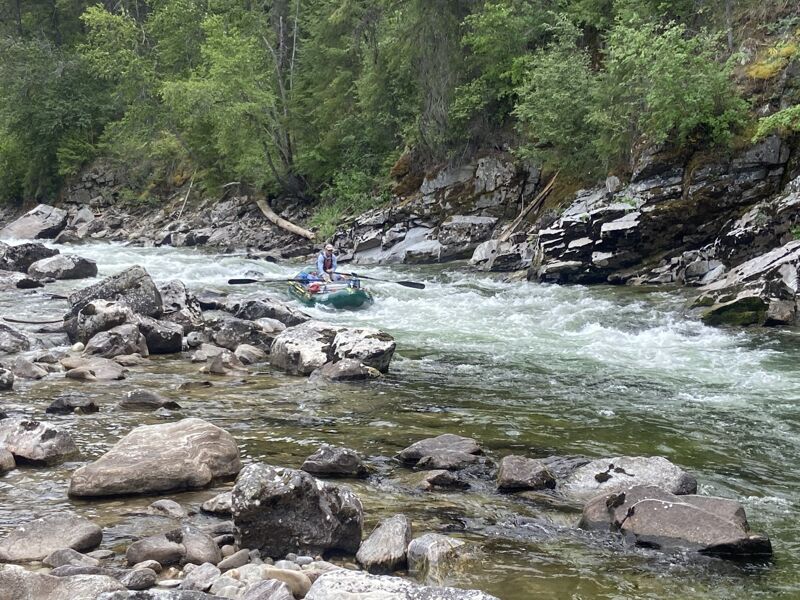
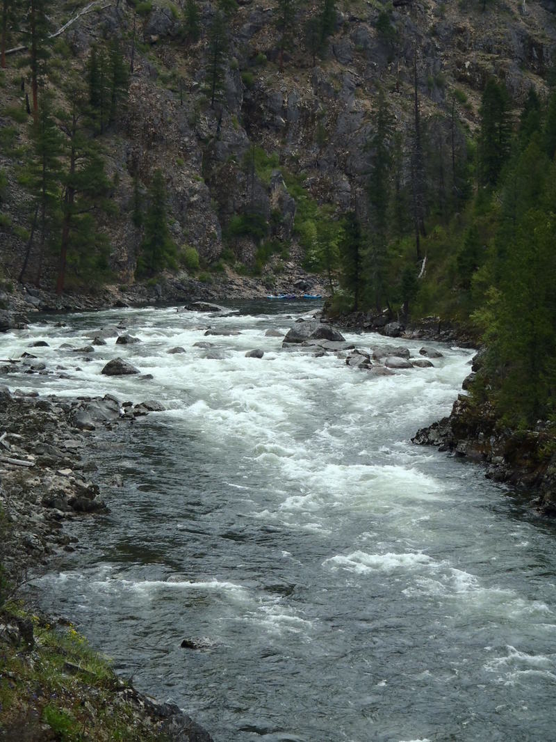
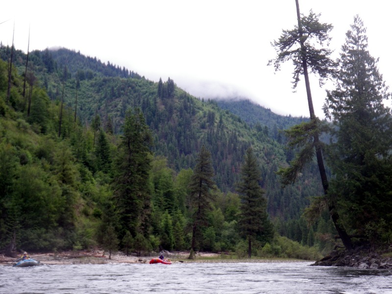
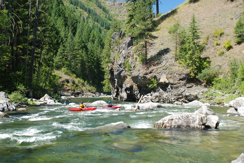
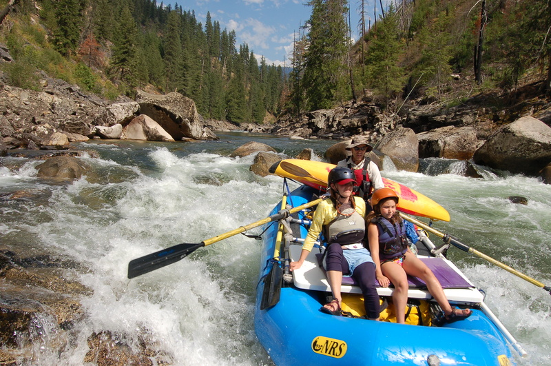
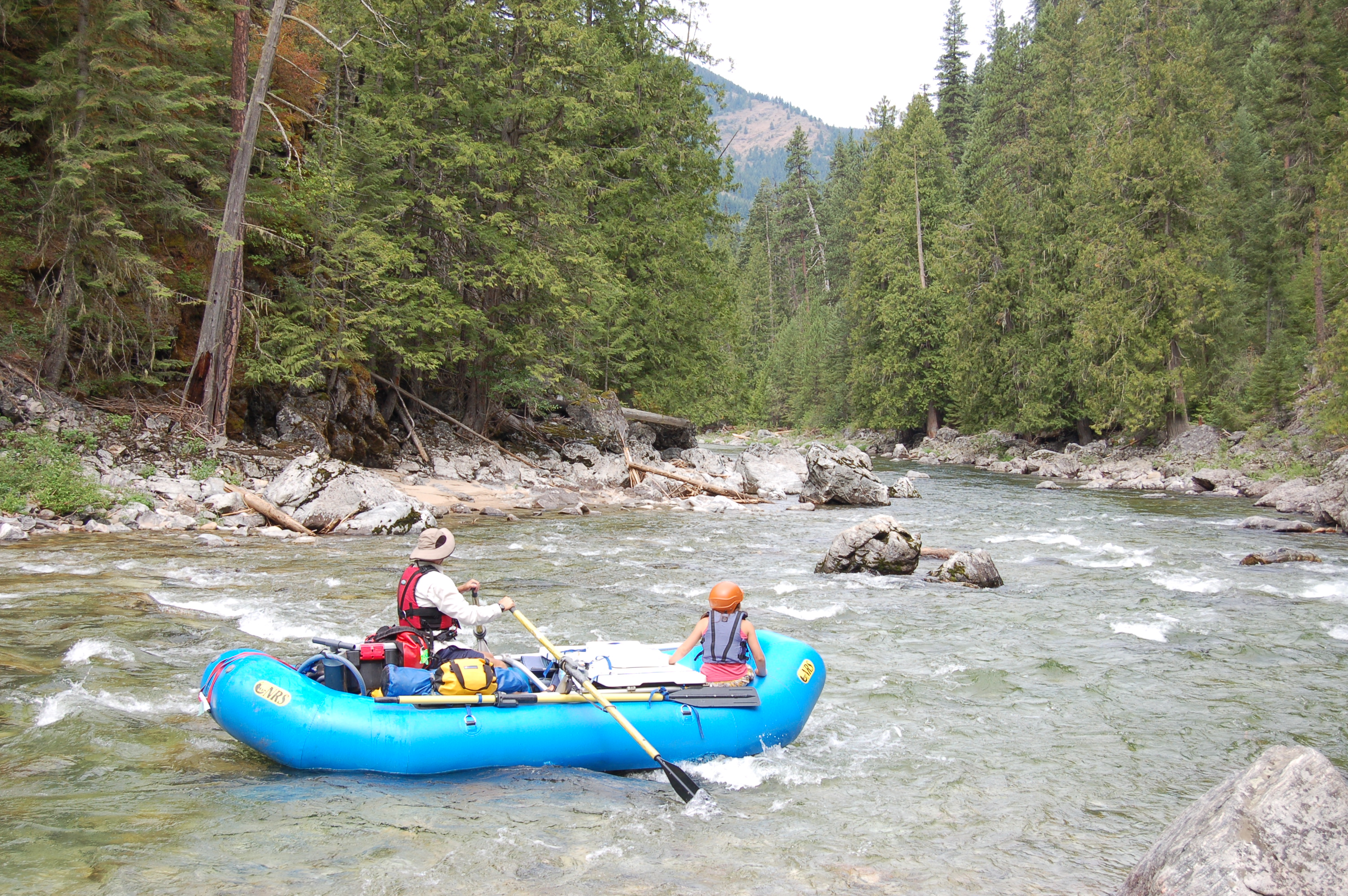
The Selway River is a Nationally designated Wild and Scenic River flowing through the Selway-Bitterroot Wilderness Area. As a major tributary of the Clearwater, it was one of the original eight Wild and Scenic Rivers desiganted in 1968. The Selway is one of North America's premiere wilderness whitewater trips where boaters typically spend three to five days on this 47 mile run.
History
American Whitewater co-founder Oz Hawksley pioneered whitewater boating on this run when he set out with Jack Reynolds, John Hawksley (who was 13 at the time) and Art Midouhas. They took an army surplus raft with home-made oar frame and a decked 15' Grumman canoe along with a 16mm moving camera which was used to document the run and make the case for conservation of this river. Oz had announced the trip in the American Whitewater Journal earlier in the year as 'one of the most beautiful wilderness areas, with a navigable river, left in the U.S.,' a statement that holds true today thanks to the foresight of Oz and others to include this river as one of our nation's original Wild and Scenic Rivers.
Season
Most dependable flows typically occur during late June. Snow often prevents access through May, peak snow melt in early June may make the river dangerously high, and flows are often too low by mid-July. Those looking to access the river before the control season may be able to do so by hiring transport by snowmobile. Flying in to Shearer airstrip, 15 miles downstream from the put-in, is also a possibility.
Description
Boaters typically begin their trip by making the long drive over Nez Perce Pass in to the small campground at Paradise where the road ends and the adventure begins. Groups typically spend the night at the campground the day before their launch. In the first 27 miles there are a number of great class II and III rapids as the river flows through lush stands of old-growth forest with gr
...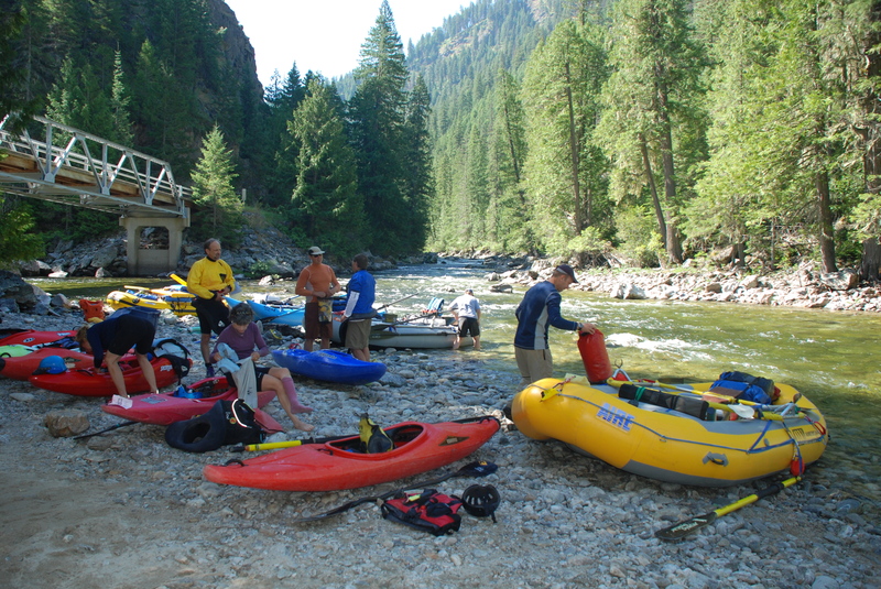
The put-in is located where Paradise Creek joins the Selway River. Groups typically drive in the day or night before and camp overnight. The campground consists of 11 sites complete with picnic tables, and fire rings. Other facilities include 3 vault toilets, hitching rails, and feed bunks. The campground can accommodate RV's or trailers to 25 feet. The host checks river permits.
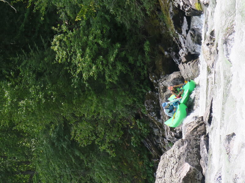
This one is hard at low flow. You are going to get stuck, just get stuck in the right place.
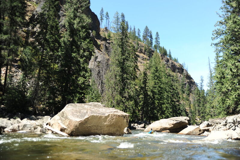
A boulder garden rapid formed by some large boulders.
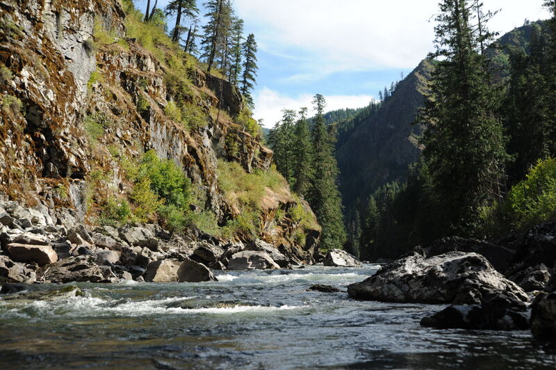
The class III Green Eggs marks the approach. Once you enter Ham, big boulders and a constricted channel require some precise maneuvering. Don't dump your boat and loose your dinner ham! Ham Rapid was named on the second descent in 1961. On the first of two trips in 1961, in a moment of indecision, Malcolm Coulter ended up on a midstream boulder dumping the contents of his raft including the dinner ham that promptly sunk to the bottom of the river. The group did without their ham on that trip. The following week the group returned for the second run, this time bringing along a mask and fins. The ham was recovered and the group enjoyed extra portions. Thereafter the rapid was known as Lost Ham, shortened to Ham today.
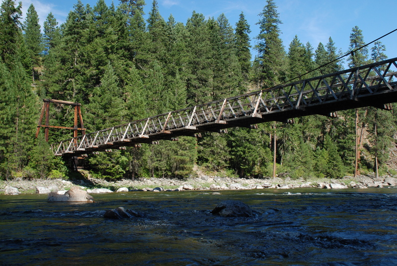
After passing under the pack bridge, Moose Creek enters from river right adding considerable flow--the 'Moose Juice'--and the pace of the whitewater picks up. Be sure you have time to scout the most challenging rapids on the run over the next four miles. If not, you are wise to make camp in this area.
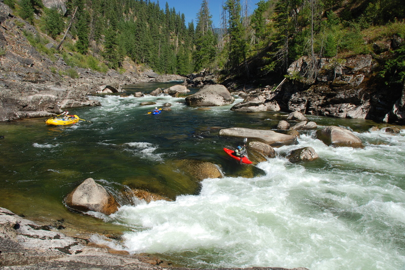
At lower flows this is a beautiful double drop rapid with good recovery in between but at higher flows the drops form one big rapid.
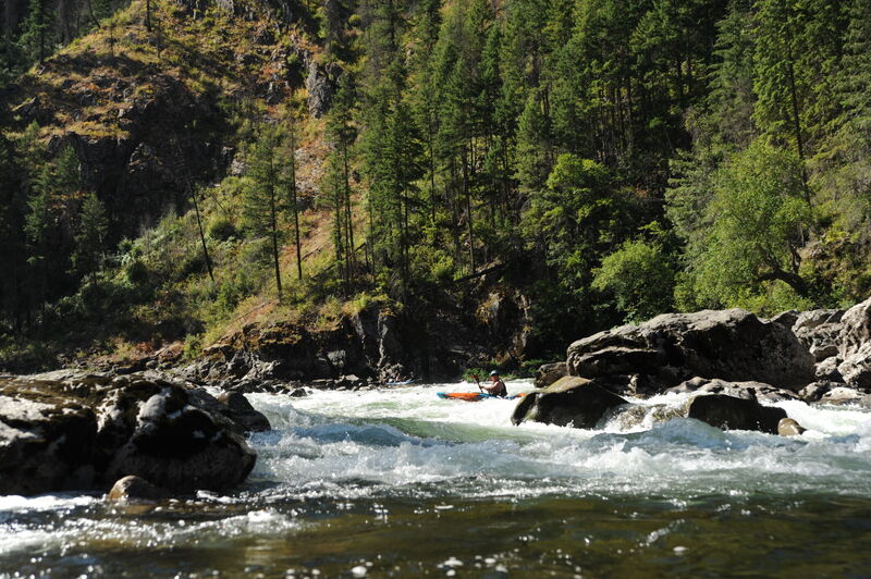
A S Turn rapid as the river bends to the right and then back to the left with rocks on the outside corners.
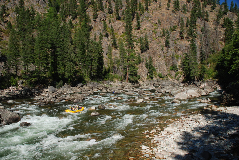
Ladle is a complex boulder garden rapid that should be scouted from the trail on the right. At lower flows this one is a real maze through the boulders and at higher flows it becomes one big frothing stretch of whitewater.
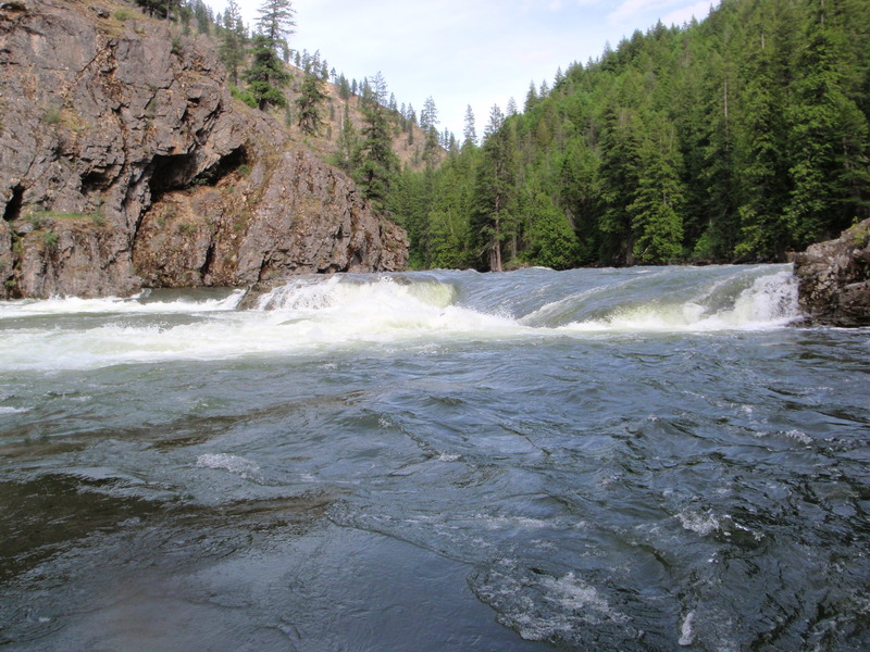
This drop is typically run down the right close to the cliff face.
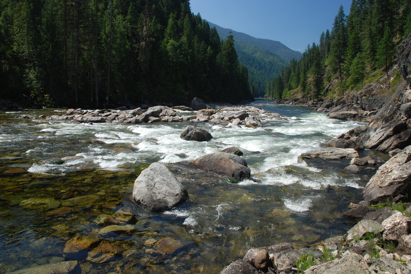
Generally run down the right tongue but watch the laterals that come into play as flows increase. At lower flows, rocks and a ledge hole at the bottom need to be navigated.
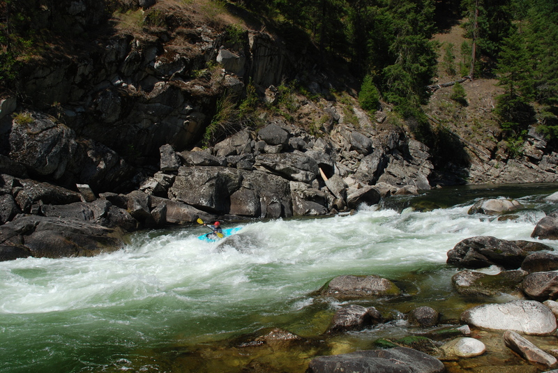
The debris fan from Jims Creek pushes the river up against the right bank. Follow the tongue down river right.
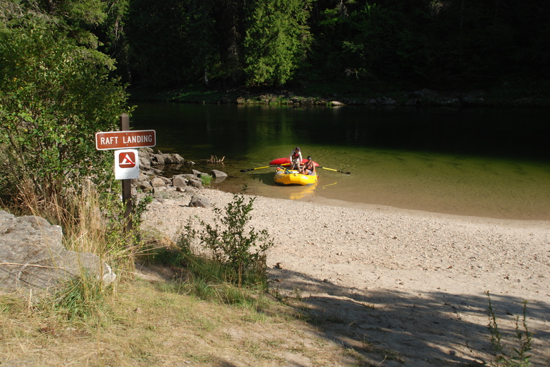
The take-out is at a large beach on river right just below Race Creek Campground and before you pass under the bridge that marks the approach to Selway Falls.
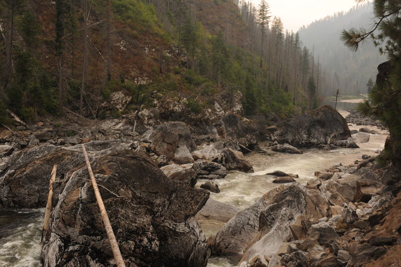
This rapid is best enjoyed from the overlook on the Forest Road above the drop. A mile downstream of the take-out the Selway River cascades through this impressive pile of massive boulders with surging boils, massive eddy lines, and bottomless sieves.
Apr 20, 2025
Ran the Selway from April 15 to 18th. It ran between 7000 to 9000 on the Lowell gauge. Even at these flows the large rapids were still very big with many large holes. At this level this is a Kayak and Cat boat level for those who are not proffesionals. Dry suites at this time of year are a must since a swim in Ladle will leave you swiming for 3 miles. At this flow the sneak line on the right of Double Drop is in. Running Ladle down the middle seemed like the easies and safest choice. Goat rapid was a joy with all its twisting moves. Camping is great all over the place.
May 2, 2023
This report is specifically intended for rafters and focuses on high-flow conditions on the Selway River.
In my experience, the Paradise foot gauge is not a reliable indicator of true river flow, especially for rafters. Numerous significant tributaries enter the Selway below the gauge, dramatically affecting flow volume downstream. Additionally, there's widespread misinformation and exaggeration regarding foot gauge levels, which contributes to confusion.
The 'foot gauge' at paradise was also replaced in 2018, and now registers lower readings. This further complicates matters related to the foot gauges.
For a more accurate understanding of the river’s behavior—especially concerning the Moose Juice section at mile 27, which is by far the most challenging—the Lowell CFS (cubic feet per second) gauge provides a far more complete, consistent and useful measure.
At high flows, the Selway becomes significantly more hazardous. These conditions are often manageable for experienced kayakers, but for rafters, any swim at high water is extremely dangerous—posing life-threatening risks and severe challenges for recovery and rescue.
The river demonstrates distinct shifts in volatility at key flow thresholds:
A key hazard for rafters is the unpredictability of rising flows overnight. It is not uncommon for the Selway to rise from 10,000 to over 20,000 CFS in less than 24 hours. This has serious implications for those who scout “The Juice” the day before running it. Without current flow data, rafters can easily find themselves on a radically different and far more dangerous river than expected.
Before entering the canyon, river runners should posses a full memorized road map of this section, being able to know where they are and what is coming. It is critical to maintain awareness of location in the stretch in the event that you are unable to stop.
Please use extreme caution when considering a high-water run on the Selway. The dynamics of this river change drastically above 14,000 CFS, and the hazards scale up exponentially. The waves are erratic and irregular, enormous, oceanic - hard to compare if you haven't built up experience in these types of conditions. Recovery is often impossible, and the margin for error is razor-thin. This is not the same river you know at lower flows.
Stay safe so you can have fun.
Oct 20, 2014
The electronic gauge at Paradise launch site can be found at: http://www.fs.usda.gov/bitterroot/ look for the link on the right side of the page. This is not a USGS gauge so most people look at the Lowell gauge and interpolate. Also, the lower stick gauge at the launch which blew out in high water last spring has now been replaced. Paradise Earl