| Difficulty | III-IV |
| Length | 19 mi |
| Avg Gradient | 60 fpm |
| Gauge | St Joe River at Red Ives Ranger Station, Id |
| Flow Rate as of 1 hour | 1.87 ftbelow recommended |
| Reach Info Last Updated | July 3, 2021 |
River Description
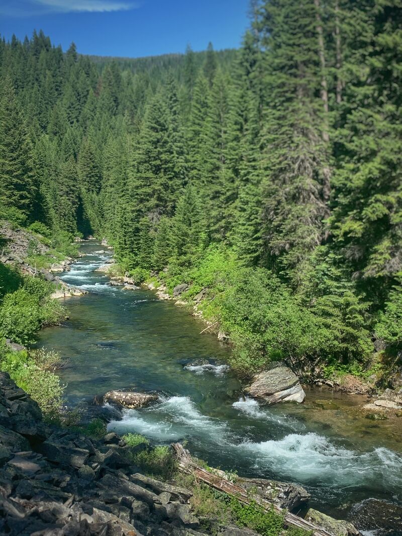
This run is classified as a Wild River under the National Wild and Scenic Rivers System and is largely inaccessible except by trail or boaters lucky enought to catch it at the end of spring snowmelt.
A trip report of this run from June 2009 can be found at North Idaho Whitewater Boating.
There are several nearby runs in the St. Joe watershed, including the Skookum Canyon (class III/IV), and Heller Creek (class IV) sections of the main St. Joe, plus the North Fork (class III+), Slate Creek (class IV/V), Marble Creek, (class III/IV) and Big Creek (Class III/IV-). Also, access to the Little North Fork Clearwater(class IV(V)) is from Avery via Fishook Creek.
River Features
Heller Creek Campground, Put In
Access PointDistance: 0 mi
Spruce Tree Campground, Take Out
Access PointDistance: 18.35 mi
Trip Reports
Log in to add a reportTH
Todd Hoffman
Jun 15, 2004
This is where we were stopped by snow on the way to the put in. just past the Needle Peak turn off.
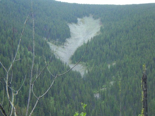
Looking across the canyon at a rock slide in the head of Red Ives creek.
TH
Todd Hoffman
Jan 1, 1900
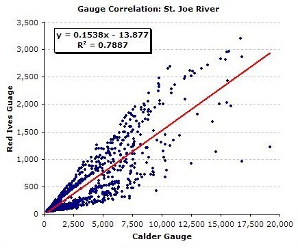
Mean Daily Streamflow
This correlation is based on very limited data. Please use your best judgement. The USGS gauge at Red Ives is still active although no realtime data are avaialbe. However, I am currently working with the USGS to obtain access to realtime flow data at Red Ives.