St. Joe
2. Spruce Tree Camp to Gold Creek

| Difficulty | III |
| Length | 13 mi |
| Avg Gradient | n/a |
| Gauge | St Joe River at Calder, Id |
| Flow Rate as of 1 hour | 844 cfsbelow recommended |
| Reach Info Last Updated | March 2, 2023 |
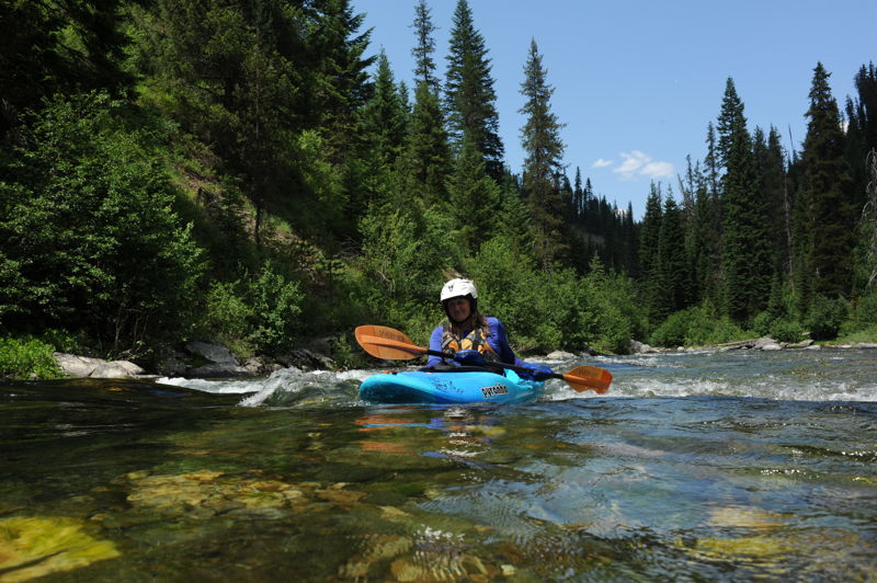
This is a scenic forested run that flows along Forest Road 218 that parallels river right. This is a one-lane dirt road with pullouts. Popular with trout fishermen, the run features a consistent graident of class II+ whitewater with a few easy sections of class III at higher flows during the spring. Several formal and informal campging areas are found along the river and multiple access points allow boaters to customize the length of their run. A historic Forest Service cabin is even available for rent near the put-in.
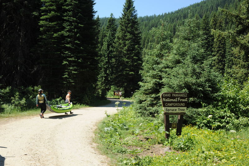
This campground located 12 miles up Forest Road 218 features 9 camp units, potable water, and vault toilets. Good river access is available right at the entrance to the campground (downstream of the main kiosk). This campground marks the end of Forest Road 218.
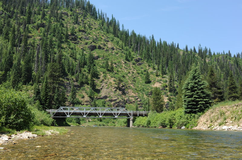
The Red Ives Cabin located 10 miles upstream Forest Road 218 is a popular location in the Idaho Panhandle National Forests that can be reserved for overnight use. It served as the Ranger Station for the Red Ives Ranger District of the St. Joe National Forest from the 1930s to 1984. A bridge also crosses the river here.
Dispersed camping is available in the vicinity of the bridge and a good access to the water is on the downstream river right side of the bridge.
This campground located 3 miles up Forest Road 218 features 14 camp units, potable water (June-October), and vault toilets.
Gold flat is a large open dispersed camping area a mile upstream of the Gold Creek confluence on Forest Road 218. The site has a pit toilet and can accommodate large groups but has no drinking water or formal campsites.
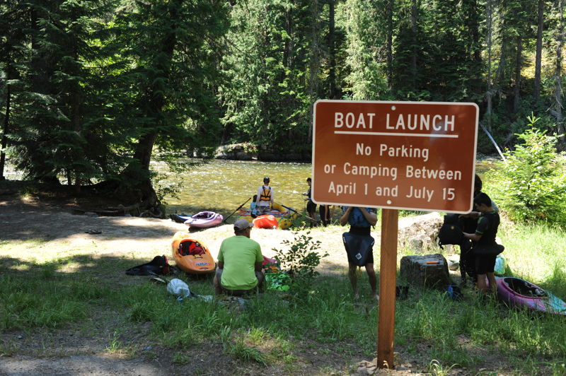
This campground is located at Highway 50 mile 75.3, less than a mile downstream of the Gold Creek confluence. The campground features 8 camp units (2 on the river and 5 above the highway), potable water (June-October), vault toilets, and a day use area. A formal river access is available at the downstream end of the campround.
Jul 2, 2021
We did this run on 7/1 at 1100 cfs on the Calder gage. That was really too low for the run although we were able to bump down in kayaks. The run was mostly continuous class II and required some navigation skills to find the channel with sufficient water. We bailed out early on the run and took out at the Beaver Creek Bridge instead of continuing down to Gold Flat as planned. I would say 1500 cfs is closer to the minimum flow for this run (and will change flow range for the page accordingly which had it at 800 cfs) and more would be better.