St. Joe, N. Fork
1. Loop Creek to St. Joe Confluence
| Difficulty | III |
| Length | 10 mi |
| Avg Gradient | 51 fpm |
| Gauge | St Joe River at Calder, Id |
| Flow Rate as of 31 minutes | 844 cfs |
| Reach Info Last Updated | April 1, 2026 |
Overview:
The North Fork, referred to by locals as the Little Joe, is a great Class III(+) run through a deep and scenic gorge. Despite roads running along each side of the river, the canyon has a remote and wild character. The run is a mix of class II swift water and a few long and continuous class III rapids. The hardest drop is on the section above North Fork campground and can not be easily seen from the road. Everything can be easily boat scouted and most of the run is visible from the road. Always keep an eye out for new logs.
Season:
The North Fork is runnable from early May to late June in years with heavy snow pack. Early season access may be impeded by snow on Moon Pass. If Moon is closed, access is usually still possible via St. Maries and Avery. Contact Avery or Silverton Ranger Stations, or Shoshone County Roads Department for latest road conditions.
Maps:
US Forest Service: St. Joe National Forest and Coeur d' Alene National Forest. Most Forest Service offices in the Inland Northwest carry them. They are both highly recommended.
Logistics:
Exit Interstate 90, at the Wallace, Idaho visitor's center. Work your way south through town following Placer Creek up a small canyon to road 456. Take 456 over Moon Pass (4,931') and down to Loop Creek. The semi primitive launch site at Loop Creek has parking. It's a good idea to lock your boat or stash it in the brush if you leave it unattended as boats have been stolen here. Continue down road 456 to the take out which is just above the confluence with the main St. Joe at the garbage dumpsters. Do not block access to the dumpsters. Park in the small turn out next to the bridge or just around the corner next to the main St. Joe road.
Planning Tools:
...Access is at a primitive ramp on the downstream river right side of the bridge at Loop Creek.
The take-out is just above the confluence with the main St. Joe at the garbage dumpsters. Do not block access to the dumpsters. Park in the small turn out next to the bridge or just around the corner next to the main St. Joe road.
May 10, 2023
We had a nice run May 6, 2023 from Telichpah Campground to Avery at 4' on the Avery bridge gauge and about 13k on the St Joe gauge. I scouted the run by biking the road on river left, then my wife picked me up in Avery. We left a bike in the woods down there, then drove back up to the campground and did the run. We did it that way because we didn't know the run and there were not a lot of eddies at that flow so we had worries about coming around a corner and being forced to deal with something unpleasant, but I was able to see nearly all of the run from that gated road on river left. In hindsite it was a great flow with lots of class II-III wave trains and there would be no reason not to run it higher if you were familiar with the run or at least the current wood situation. There was one notable hole that can be viewed just after passing through the first tunnel while driving upstream during the shuttle. We were able avoid to the meat of the hole by getting right of it. Other than the tunnel hole, the rapid at the beginning, adjacent to the campground, is probably the next most notable rapid (class III at 4'), and the whole river was read and run (the tunnel hole might be a surprise though), and was easiest on the inside of most corners or in the center of the river. There wasn't any problematic wood while we were there.
Jun 30, 2022
We ran the North Fork and had a great time. My brother and I were in packrafts and our friend was in a kayak. We dropped a car off at the dumpsters and rolled up the Moon Pass road, scouting the river at any point we could throughout the drive. We could see wood here and there but nothing that completely blocked the channel. The flow on the Calder gauge was about 3100cfs and we would guess the north fork had a good 500-700 in it. We did not end up driving all the way to Loop Creek for the put in, we thought we had driven far enough up and decided to put in across from the Big Dick Creek confluence, to access we took the forest road right before the first tall bridge on the Moon Pass. The put in we used is on river right and the Moon Pass road goes over a second tall bridge on the other side. Upon looking at the map after returning home we found this was only a couple miles downstream of Loop Creek.
There is a small rock wall on the opposite side of the put in, it is quite undercut and when we ferried over to it we could see the light shining under it use caution here. From the put in we enjoyed a few easy class II sequences which mostly consisted of little gravel bar rapids with the occasional wood hazard to avoid and shallow channel to bump down. Not too far into the run there was a quarter mile or so of class III action that was pretty continuous and technical. The river here takes on the same characteristics of the rest of the river but gets a bit steeper, narrower, and the boulders get a little bit bigger making bigger waves and holes. There was no wood when we ran it but this is somewhere that it could sneak up on you really fast. A little further down after passing through some more II-III rapids you'll pass under the Moon Pass bridge and then the forest road bridge. From here down the river chills out a bit and feels more like the beginning of the float. It's a nice meander down to the takeout, with the occasional ATV passing by. We took out at the dump and camped upriver near the put in. Whole float took around 2.5 hours.
Jan 1, 1900
Topo Map of the Little Joe Run
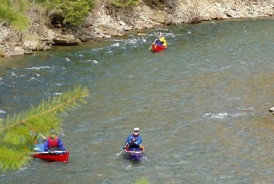
This is just below the confluence with the North Fork. The flow is around 6,000 CFS. Notice the clean, clear water. Avery is a great example of a remote Idaho timber town.
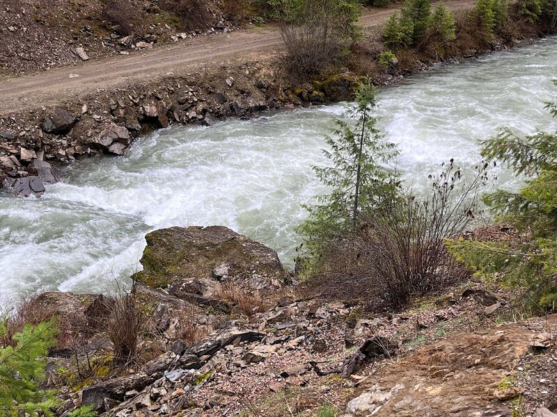
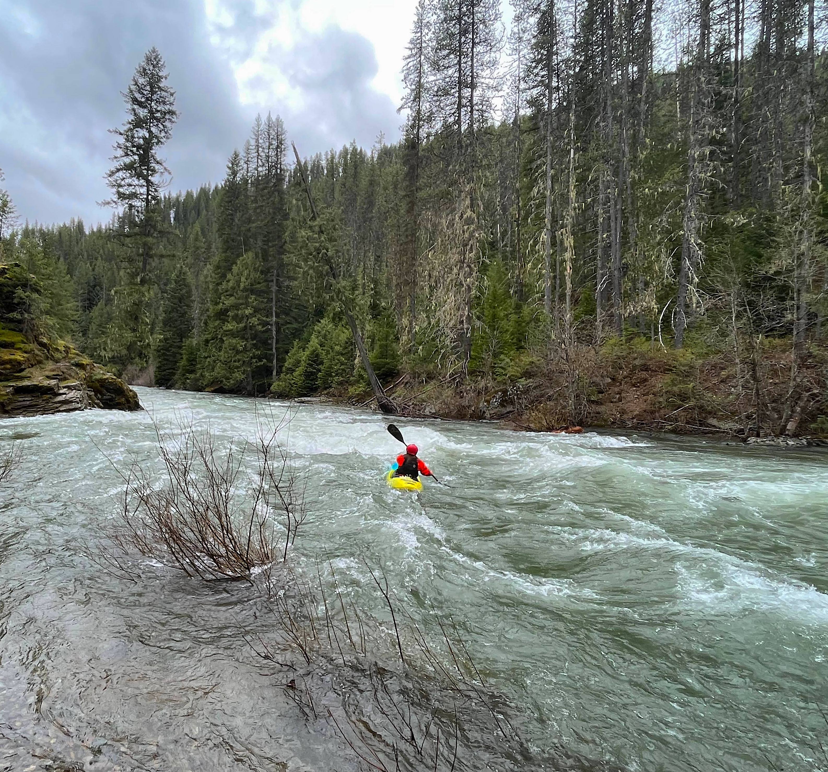
Typical North Fork Rapid
Last rapid before Avery.
Looking into the North Fork of the St. Joe Drainage from top of Moon Pass
Calm section on the North Fork of the St. Joe.
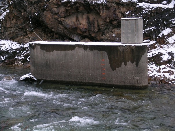
Max reading is 5'.
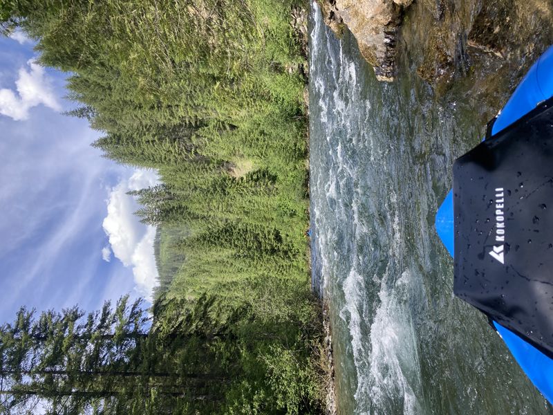
Typical North Fork Rapid