Ferson Creek
St.Charles: Burr Road to Leroy Oaks Forest Preserve (4.7-5.0 miles)
| Difficulty | I-II(III) |
| Length | 4.8 mi |
| Avg Gradient | 10 fpm |
| Gauge | Ferson Creek Near St. Charles, Il |
| Flow Rate as of 25 minutes | 34 cfsbelow recommended |
| Reach Info Last Updated | March 13, 2025 |
Quick Facts:
Location: Northeast IL, about 3.5 miles NW of St.Charles, between Elgin & Aurora.
Shuttle Length: 3.8 miles. (See details in 'Directions' Tab.)
Character: Flatwater punctuated by a number of weir/dam drops. Starts in Royal Hawk CC (golf course), enters woods, and threads backyards of estate homes.
Drainage: 52 sq.mi. (at gauge site immediately downstream of take-out).
Put-in is approximately 745' elevation.
Take-out is approximately 710' elevation.
Thus total elevation change is approximately 35'.
General Overview
This reach consists of flatwater punctuated by a number of weir/dam drops. Do not be deceived or discouraged by the low gradient! The drops will definitely get your attention and merit your trip! The early going winds through Royal Hawk Country Club (golf course), before entering heavily wooded area, then threads through backyards of estate homes. Caution: at moderate-to-high flows, some (many) of the weir/dams will become quite 'sticky', and merit scouting and possibly portaging!
Notes:
Shoulders on Bolcum Road (around the put-in as suggested by a user) are virtually non-existent. All property in the vicinity appears to be privately owned. It would seem necessary to get permission to leave a vehicle on some private property to use this location. Alternate put-in access (as listed) further upstream has (at least minimally parkable) shoulders. It adds largely uneventful length to the run, though you may have to deal with additional deadfall and snags in this additional early going.
For early season runs, the listed take-out may not be accessible (due to the park gates still being closed). Alternate take-out is available by continuing 0.2 mile downstream to S.Randall Road. Parking at a church at the top of the hill nearby (Crane Road) has generally not been a problem. This does make for a bit of a hike up, but prob
...
Drainage area at our listed put-in is only (approximately) 11 sq.mi. (as calculated via USGS StreamStats Beta software). However, less than a quarter-mile downstream a major tributary (Otter Creek) joins, and the combined drainage area is ~46 square miles.
Just after a private footbridge (backyard of a house with swimming pool) there appears to be a constriction/pour-over.
A weir/pour-over (may have been removed).
A weir/pour-over (a low bridge lies just downstream).
As listed in the description, some groups find it easier to continue to Randall Road. In fact, this is recommended (almost necessry) for early season (late winter / early spring) runs. (Carry out is ~0.2 mile, uphill, and in a cement drainage area along a busy street.)
Jun 23, 2009
I and a friend from work ran this creek yesterday. I am a experienced paddler from down south, but my buddy had never been before. I hopped in my play boat and put him in my RPM. The creek had many down trees and strainers, but I found it kind of fun. We only had to portage 3 or 4 times with only one major portage. The only dangerous spot was a little after entering the woods, you go through a little class one rapid that is pretty shallow, but surfable, then a little further down you hear some real water and there is a little walk bridge over the top. Stop before the bridge on river left and portage past the bridge around the right side of the pond and drop back into the river where you see easy access. You can go onto the bridge and see why I said to portage. The last drop was really big for what I was expecting (I mean we are in the suburbs). I would love to go to some of these rich people's homes and ask for access to some of the play holes also. Lastly, check the take out at the park, we did not and thought there was a bridge and missed it. We paddled to randall road and had to hitchhike back to the park from there. Overall, I loved it!
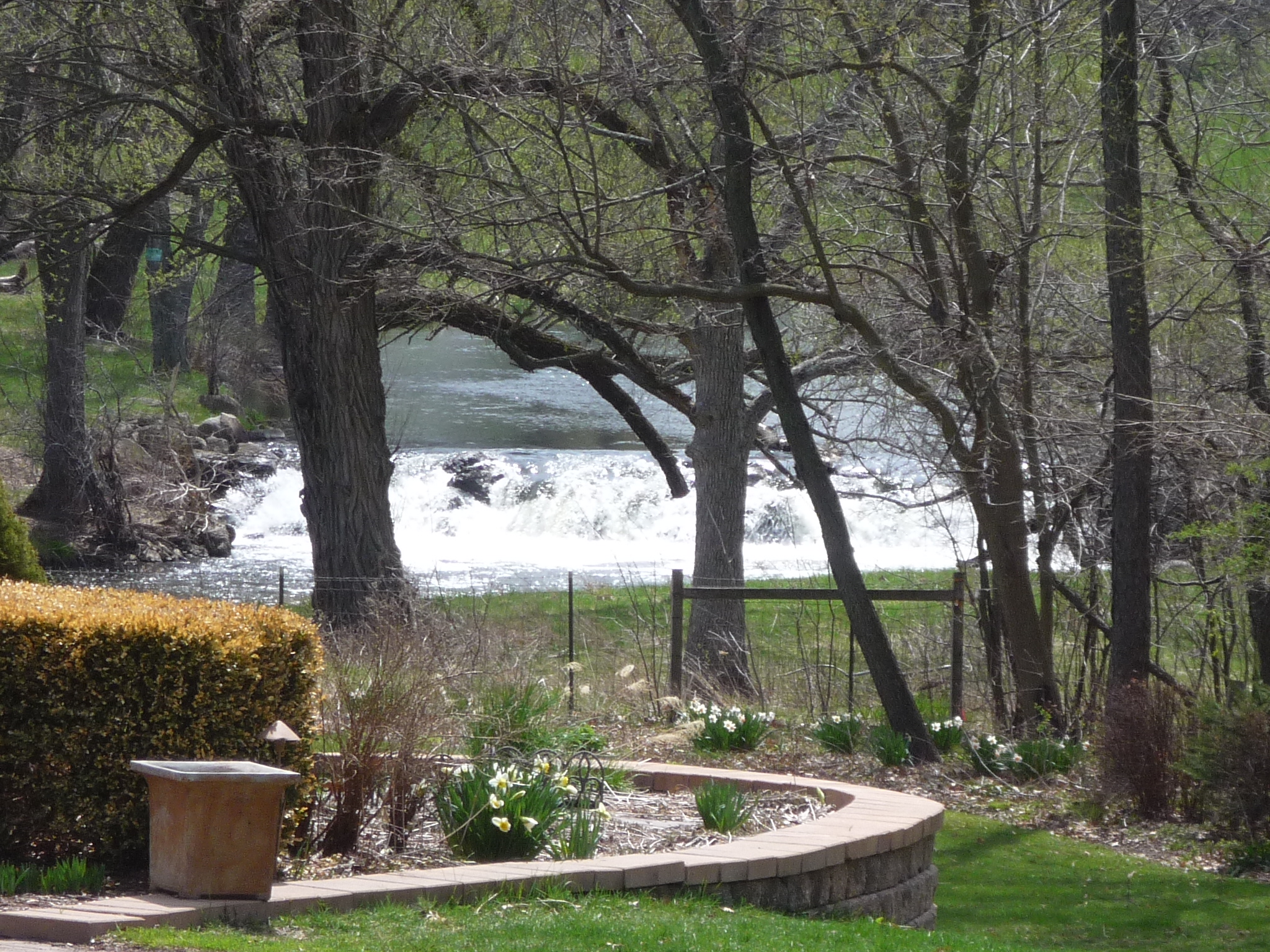
May 22, 2009
This is the largest and final drop before the park. This is a scouting picture around 150 CFS. I ran Ferson @ 350 which seemed med/high runnable and bet you could get away with flows as low as 150.
Dec 31, 2008
Minimum suggested level is 70 cfs. Max level known run (mostly through the woods) is aprox. 3500 cfs.
Nov 11, 2008
A good put in is at Bolcum Road in St. Charles. A good take out is at the Leroy Oakes County Park in St. Charles (right after the biggest drop on the creek, about a 5' footer).
Nov 11, 2008
A great resource for this creek and numerous others is Bob Tyler's book 'Canoeing adventures in Northern Illinois'
