Red
KY 746 to KY 715 (10.3 miles)(Upper Red)
May 5, 2016
| Reporter | Dewey Fuller |
Have waited for a window to run the Red for a few years. By chance I noticed a lot of black dots in eastern KY on the USGS map. The Red was running with more rain predicted. We made what turned out to be a 5-hour drive from Bristol and arrived at what we thought was the takeout with plenty of time to make the run. About half way up on the paid shuttle we realized that this was not the “upper” gorge that we wanted to run but was the middle section – all class I. After burning through the middle section (8miles) in 1.5 hours we were unable to get a shuttle to the upper and ended up staying the night at Sky Bridge Station a hostel/restaurant in Pine Ridge. Good food, beer and a clean bed with sheets and blanket. They typically serve climbers and some hikes but they do shuttles too.
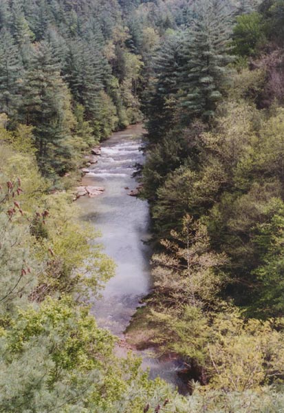
The River Gods were good to us giving enough rain overnight to slightly raise the level and leave about the same flow as we had the previous day. The level was 530 at Hazel Green when we put on for the upper gorge and 463 four hours later when we arrived at the takeout just below Concrete Bridge on Hwy 715. This is plenty of water to fill the river and give a swift current with strong eddy lines and solid class III rapids. Putting in on Stillwater Creek at the Hwy 746 Bridge the 2.5 mile run down to its confluence with the Red was scenic with several rock houses and small streams cascading in along the way. No rapids to speak of, but good current. At the confluence water color went from relatively clear to light brown and the speed picked up. On the Red there are more rock houses, numerous side streams with small cascades and waterfalls and some high sheer cliffs. You wouldn’t walk out of here, you would climb to get out. About half way down there was a cross river log that had to be carried on the left. There are about 5 or so significant rapids about three of these are class III and as noted by other reviews would be IV rated at higher water. All rapids have a well-defined route but there are big waves and some holes big enough to stop and hold a boat. One class III had a boulder jumble on river right that looked congested. About half the river feeds into the jumble and a right to left line is needed to avoid the boulders. This is a fun run with lots of interesting geology. Allow enough time to explore some of the side creeks.