Mill Creek
Robin Lane to West River Road (4 miles)
September 26, 2010
| Reporter | Tim Klement |
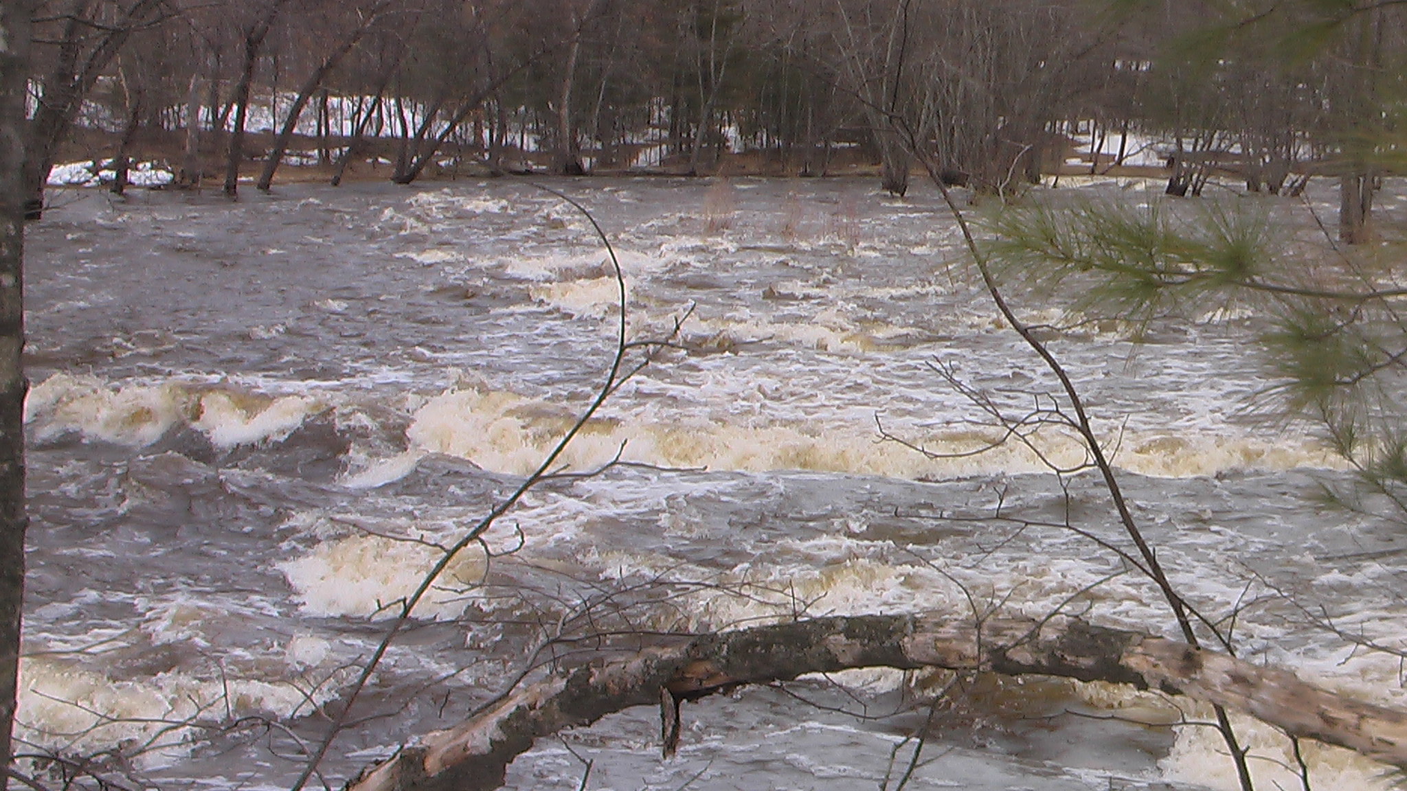
River was still completely flooded when reading 7.07 feet on the USGS gage, viewed from the put in at Robin lane). Water was over the banks and trees were half submerged in water. The river would have been incredibly dangerous to run at this level due to debris and high risk of strainers where the river constricts downstream. I was told by those living close to the river that a bridge down stream was under water. Obviously, this creates a dangerous situation for boaters. I would not recc trying this river (without careful scouting from land) if the USGS gage 05400513 is higher than 5 feet.