Mill Creek
Robin Lane to West River Road (4 miles)
October 24, 2010
| Reporter | Brendan Hammond |
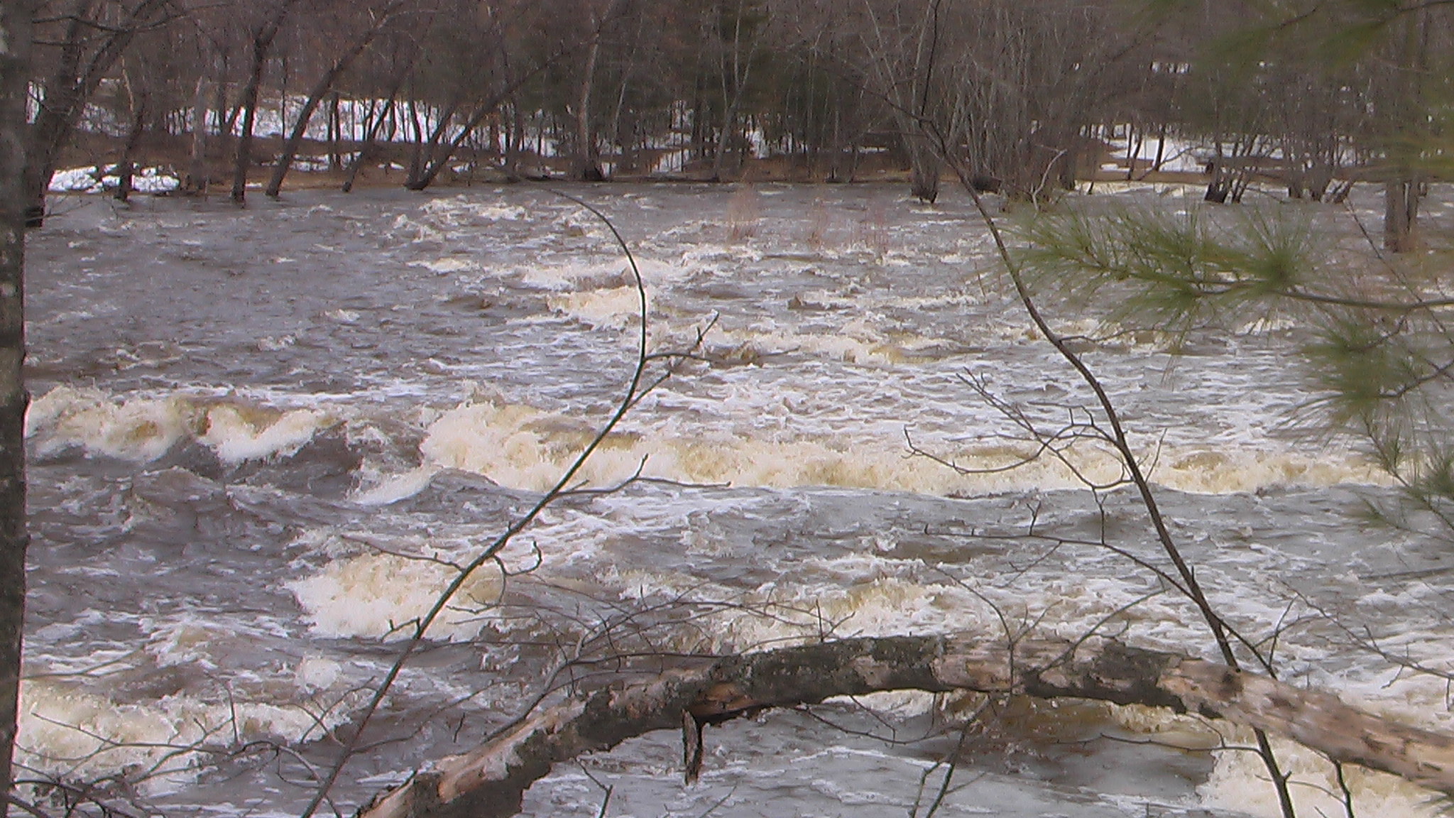
Ran this during the week of the Sept flood at 6'(1350cfs) . A good level with no real danger. Seen it at 8' (2200cfs) and there is more danger as the water is moving through the floodplain with some velocity. Probably not an issue for intermediate boaters, the run from PP down is roadside and easily scouted to assess the risk. The upper rapid has to be good fun with big waves and holes at 7' (3300cfs) and higher. The minimum could be 4' (only ~250cfs) but 5' (700cfs) is much better.