Millers
2) Lower(Erving to Millers Falls)
| Difficulty | II-III(IV) |
| Length | 6.2 mi |
| Avg Gradient | n/a |
| Gauge | Millers River at Erving, Ma |
| Flow Rate as of 1 hour | 1.50 ftbelow recommended |
| Reach Info Last Updated | March 17, 2025 |
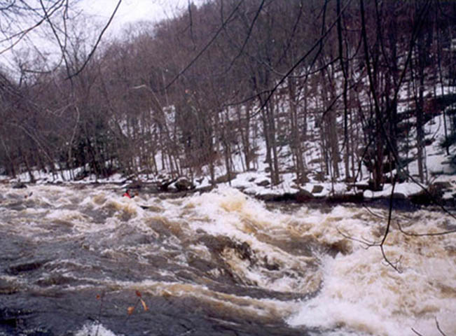
The Lower Millers is a surprisingly scenic roadside run in Western Massachusetts along Route 2. The river is restored from its former status as a mill river, but you can see plenty of evidence of former dams along the banks as you paddle. It consists of mosly class II/III boogie water and one larger class 3 rapid, Funnel. There is plenty of on the fly surf to catch. A selection of access options gives you the choice of how long or short of a run you want it to be, ranging from 2 to 6 miles.
Put on in Riverfront Park in Erving. This access point is cleaner and quieter than the one further down along Route 2 and is good for those taking rafts down
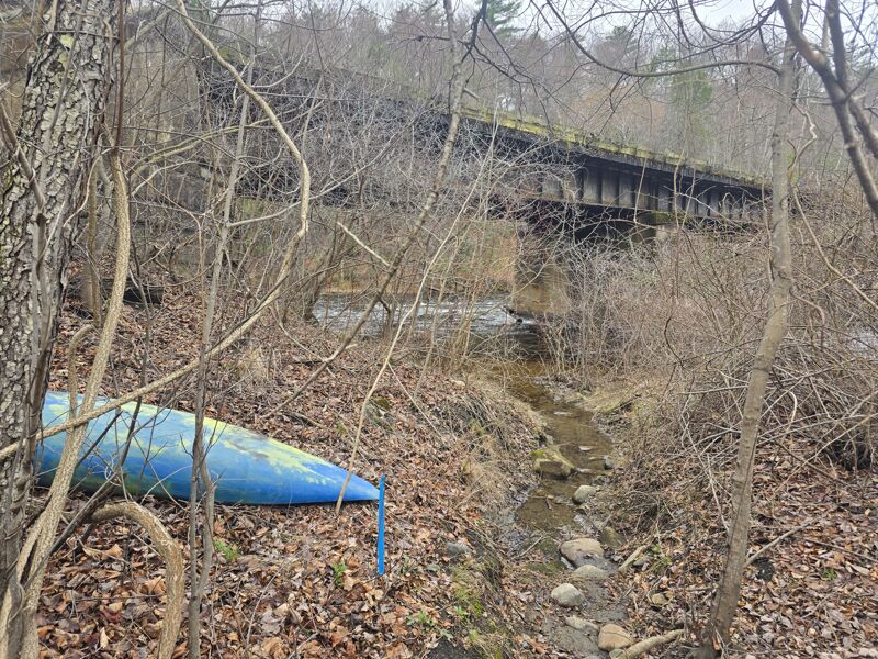
A pull off along Route 2 where there is a railroad bridge can be used as a put in to cut about a mile from the trip and start right where the visible roadside boogie is.
You can put in at the Bridge St / Farley Rd bridge over the Millers to put in as close to the rapid as possible. The gauge is also located at this bridge on river right.
Funnel is the main event of the Lower Millers. The river constricts and picks up some gradient forming a class III rapid. It starts off with rocks forming holes as the gradient leeds to a ledgy part of the constriction which forms some good standing waves and holes. These waves are great for surfing with some decent eddy service. The water here is moving fast and and swim here can take a bit to collect as there isn't a big pool below, so boaters or gear can quiclky end up downstream.
One can shorten the run by taking out at a rest area along Route 2. This cuts out some of the mellower water down to Millers Falls
At the right levels (around 4.6ft +/- ?) a excellent wide surf wave forms at the remains of a dam for the old paper mill in Millers Falls before the takeout. From river right to center left is a standing wave with good eddy service. Depending on the level and boats there is the oppertunity for party surfs. On river left there is a series of fast standing waves better for longer boats. The eddy service is still good and has a nice elevator effect, taking you back to the top wave.
Shortly after the old paper mill on river right you pass under the bridge that signifies you have made it to Millers Falls. The take out is on river left immediately after the bridge abutment and makes use of the Millers Falls Riverfront Public Access.
Oct 9, 2021
Jun 25, 2009
FYI. A group of paddlers from Zoar Outdoor ran the Millers last night from the train bridge crossing over the river along side route 2 down to the rest area. We came across a canoe about half a mile or so below the funnel. This canoe was stuck above a strainer along side river left just above the lower island. Four of us took on the task of freeing this canoe. It is now back at Zoar Outdoor in Charlemont Ma. We are told there is still another canoe up river from where we found this canoe. We also know of another canoe that was found on the river last night. The canoe we have is red the other canoe is green. We are happy to see this canoe get back to it's owners.
Please contact philip@zoaroutdoor.com from more information.