Patuxent, Middle
Carroll Mill Road to Savage Mill
| Difficulty | I-IV |
| Length | 16 mi |
| Avg Gradient | 15 fpm |
| Gauge | Little Patuxent River at Savage, Md |
| Flow Rate as of 35 minutes | 28 cfsbelow recommended |
| Reach Info Last Updated | April 8, 2024 |
Time: varies wildly with intensity/frequency of strainers and water level. Can be a day trip if the water isn't high enough.
Difficulty: I-II with some dangerous strainers at higher water and a long IV followed by a longer III after the confluence with the Little.
Fun Factor: This all depends on what your bag is. Whitewater addicts would give it a lower score, until the last couple of miles, while the hardy, explorer types will find it intriguing.
Water Quality: Usually very good, except when it's high enough to run.
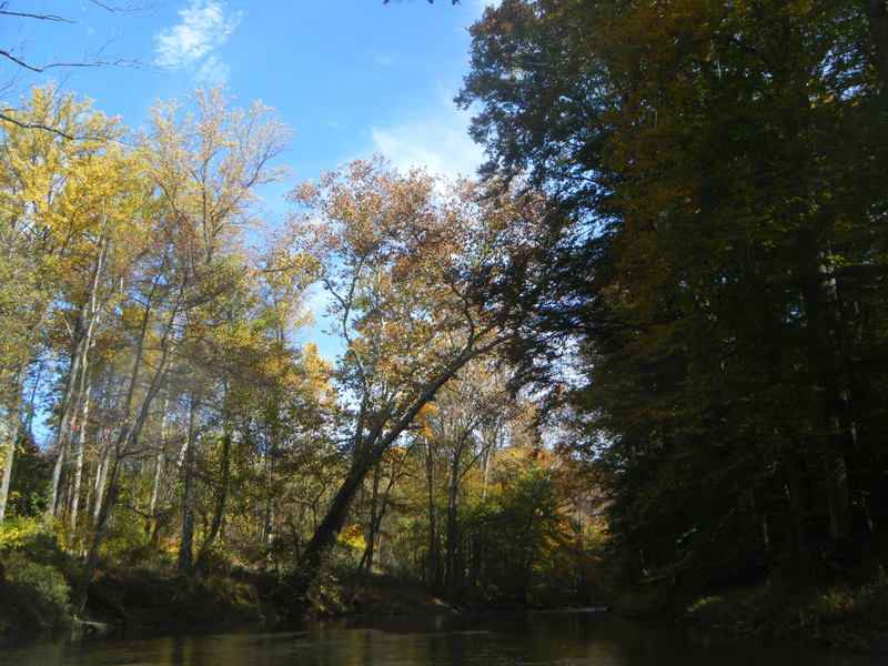
Background: When remembering a time where there wasn't a single home within, in some cases, miles of its banks, it's staggering to see the development of the past quarter century. This once almost wilderness river now winds through the fields of Howard County and makes its way through the growing metropolis of the Rte 32 corridor and on down under I-95 and into the Little Patuxent where the confluence provides the toughest whitewater of the journey.
Trip Description: The journey can start as high up as the Carroll Mill Bridge, just off Folly Quarter Road, in the shadow of high microwave tower. Determine if the water is at least a foot over the cement bed under the bridge to find out what kind of time you're going have downstream. From here, the river narrows rapidly and heads directly into several strainers that sometimes are passable, but often require a carry. The river soon begins to cut through the fields of the State Farm, enclosed by 6' walls of clay on either side, and taking a fascinating, winding course around small grass islands, over clay ledges, and down one short rocky rapid that used to be a small waterfall and has now washed out. Continue under the Folly Quarter bridge and on down to 108, where you'll likely find yourself in a pretty, woodsy environment with the occasional intrusion of civilization and the constant intrusion of fallen trees and strainers, sometimes hill high. This section definitely demand
...Little Patuxent Fall Line Ledges
Take Out - Foundry Street at Savage Mill
Aug 5, 2018
We went down from Old Columbia Rd to Savage yesterday at right about 5 feet. Old Columbia to Murray Hill was mostly flat (maybe 6 rapids, all class I), but with 2 logjam portages. It took nearly 2 hours.
After Murray Hill, the river is flat and until just past Rt 95. There was one river-wide logjam at this level, but it left just enough space to duck under it on the far left. Not long after 95 it picks up with some class I's leading for easy class II's. After the confluence, eddy-hop down the left side until just above the big drop before Savage. At this level I'd say it's solidly class IV because there are 3-4 back-to-back, manky drops of about 4 feet each. Fortunately, there's a path on river left. My son and I put in and ran the bottom 2 drops on the left side of the river.
Jun 4, 2018
Ran from Harriet Tubman to Old Columbia at about 430 on the little patuxent gauge (so about half that here) as an easy stretch close to home. Under rt 32 was the only class II. Though we had to do duck under several river-wide trees, and there is a massive river-wide log-jam just before rt 29 that would require a portage at any level (river-wide and several feet high).