Sipsey Fork
County Route 60 (Sipsey Recreational Area) to State Route 33

| Difficulty | I(II) |
| Length | 9.5 mi |
| Avg Gradient | 3 fpm |
| Gauge | Sipsey Fork Near Grayson Al |
| Flow Rate as of 46 minutes | 191 cfsbelow recommended |
| Reach Info Last Updated | March 21, 2016 |
Alabama's only 'Wild and Scenic' River. Optimal level is between 200-350 cfs. At this range a float down the Sipsey will take approximately 4-5 hours.
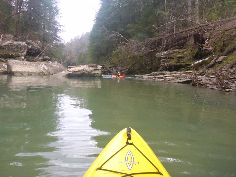
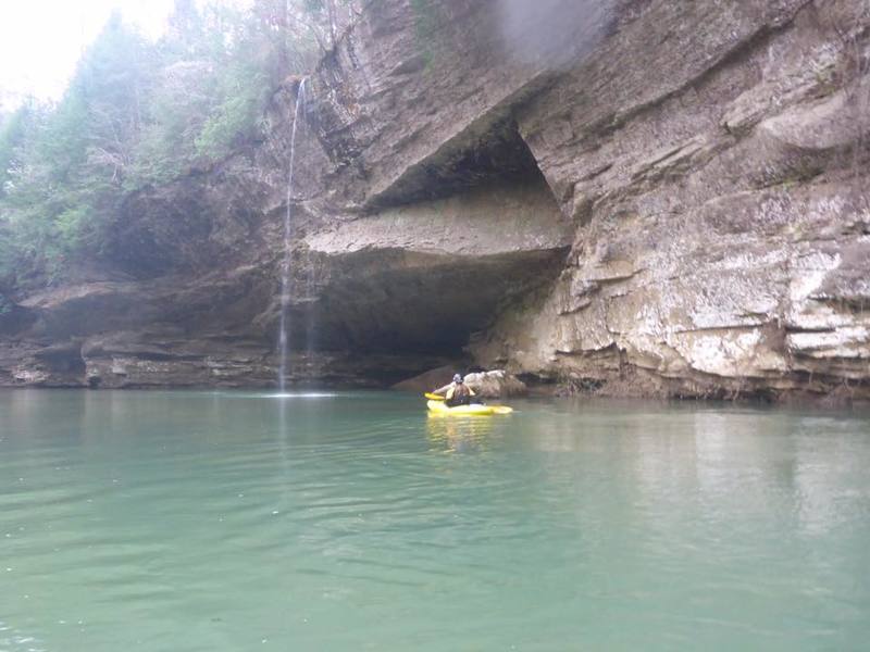
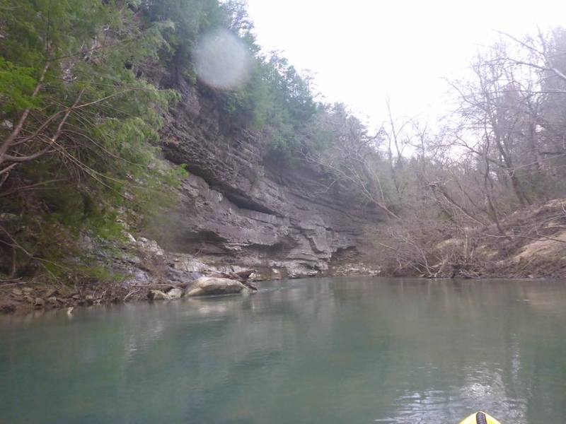
The many side creeks and waterfalls which flow into the Sipsey in addition to the steep, vertical canyon walls and hemlock trees make for outstanding scenery.
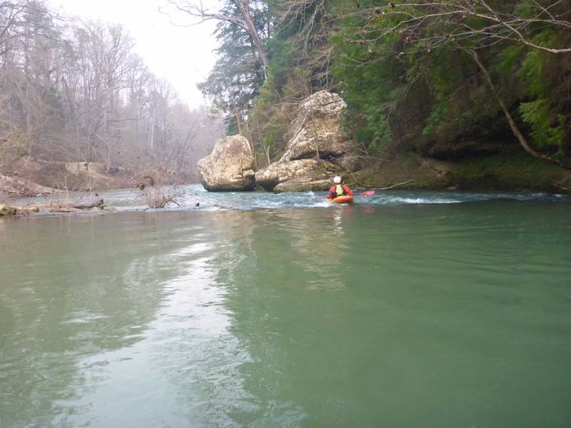
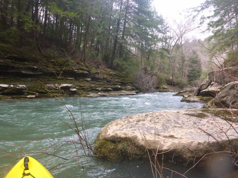
There are a few shoals which break up the relatively calm, but moving water. There is one named rapid, referred to as '100 Yard Dash.'
Take caution to stay away from the downed trees, as wood does seem to accumulate in places.
Alabama Canoe Rides and Float Trips, Froshee, John; also Olivia Barton
See also www.alabamawhitewater.com.
Mar 19, 2016
Waterfall just past the County Road 33 bridge at the takeout.
Mar 19, 2016
The Entrance to 100 Yard Dash
Mar 19, 2016
One of the many steep rock walls along the run
Mar 18, 2016
Shoals at the beginning of the run
Mar 18, 2016
Looking back at 100 Yard Dash from the eddy