| Difficulty | I-IV |
| Length | 10.3 mi |
| Avg Gradient | n/a |
| Gauge | Carrabassett River Near North Anson, Maine |
| Flow Rate as of 16 minutes | 2.92 ftbelow recommended |
| Reach Info Last Updated | December 9, 2023 |
River Description
See also the Kingfield to US201A reach.
River Features
Put In
Access PointDistance: 0 mi
Take Out
Access PointDistance: 10 mi
Trip Reports
Log in to add a reportBB
Bill Blauvelt
May 22, 2015
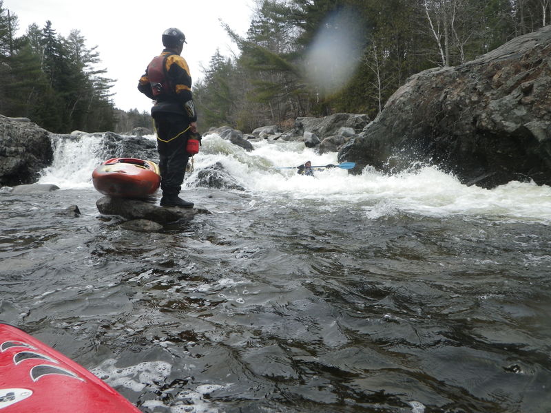
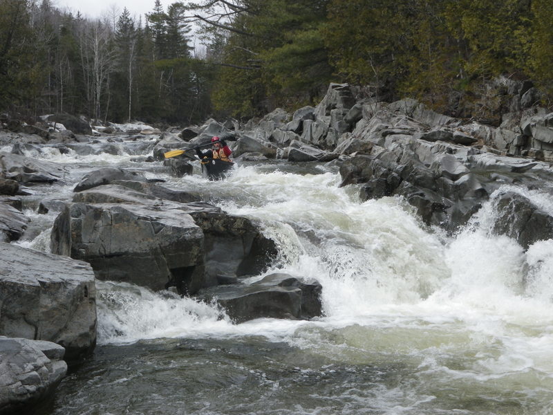
Ron Chase running Pinnacle at 1/2 foot on the bridge gauge on the Upper on 4/27/15
BB
Bill Blauvelt
May 22, 2015
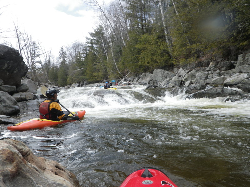
1/2 foot on the Upper on 4/27/15
BB
Bill Blauvelt
May 22, 2015
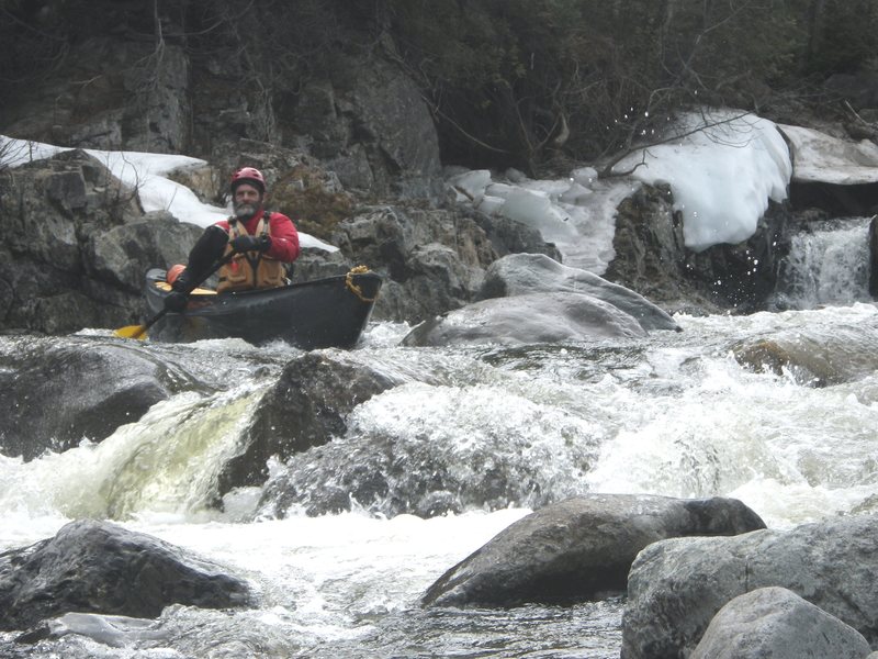
Kenny DeCoster at 1/2 foot on the Upper on 4/27/15
BB
Bill Blauvelt
May 22, 2015
Bill Blauvelt at 1/2 foot bridge gauge on the Upper on 4/27/15
BB
Bill Blauvelt
Apr 27, 2015
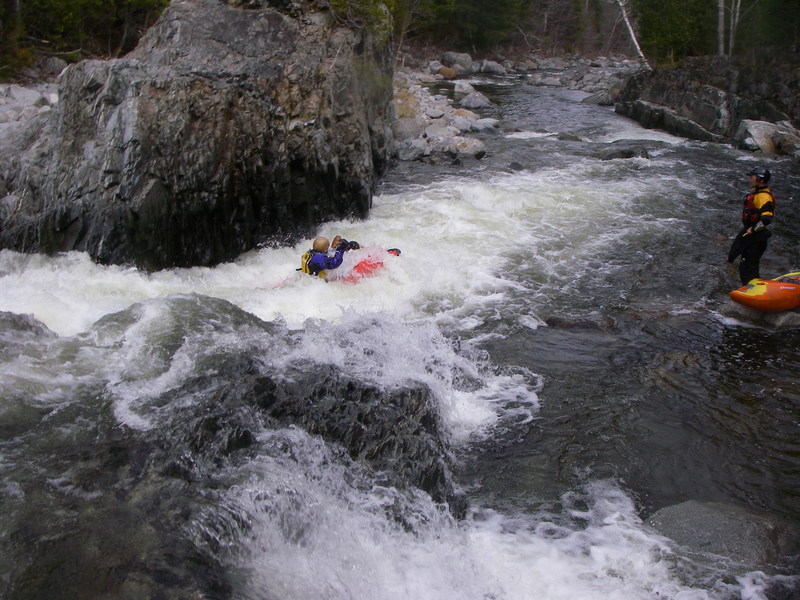
Kenny DeCoster on the Upper at 1/2 foot on the bridge gauge on4/27/15.
JC
Jeremy Cass
Jan 10, 2012
This is a steep boulder garden style run with several larger drops. I ran it in May of 2011 at around 5.5 on the bridge guage, by the park at the takeout. As was told to me it was 'med.-high', at this level. The river rises and falls quickly.
Above 5.5 ft this river gets burly and increases in both difficulty and consequences.
Please note that in the fall of 2011 Hurricane Irene created epic floods in the area, and reprots say the river has changed. However the links below will provide you with some idea of the rivers general character.
COPY and PASTE to browser
Check Here
http://www.senditmaine.com/2011\_05\_01\_archive.html
or here:
http://youtu.be/l9OKG2nYQpw
please update with photos reports or guage info. THANK YOU