| Difficulty | I |
| Length | 19.4 mi |
| Avg Gradient | n/a |
| Reach Info Last Updated | February 21, 2001 |
River Description
Data from Maine Rivers Study
Putin lat/longitude are pretty rough.
River Features
Put In
Access PointDistance: 0 mi
Take Out
Access PointDistance: 13.5 mi
Trip Reports
Log in to add a reportDW
Dan Watts
Apr 10, 2016
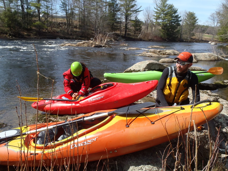
Usually put in just below the dam in the center of Buckfield and take out at the ball field on Cobb Rd in Turner. Mostly Class I and flat with a few Class II play spots.
DW
Dan Watts
Apr 10, 2016
There is a gauge for this river.
USGS 01055500 Nezinscot River at Turner Center, Maine
http://waterdata.usgs.gov/me/nwis/uv/?site\_no=01055500&PARAmeter\_cd=00065,00060
I beleive 800-1000cfs were good levels.