Orbeton Stream
Barnjum Stream to Sandy R.
| Difficulty | IV-V |
| Length | 5.2 mi |
| Avg Gradient | n/a |
| Permit | No permit is required to run this river. However, please use the roads listed above, and do not attempt to drive on the dirt road, blocked by the gate at the takeout. |
| Reach Info Last Updated | April 19, 2025 |
Class: IV (V at High Flows)
Orbeton Stream is a tributary to the Sandy River (Smalls Falls near the Phillips and Madrid reach) and can be located on Map 19 of the Maine Gazetteer. Put in is on the Reeds Mills Road, take out on Toothaker Rd. below the bridge.
At the low levels this run is class IV. However, it will get beefy and more consequential at higher levels (moving towards class V).
Overall a great river with continuous boulder-garden style rapids
A video of a low water run can be viewed here : http://youtu.be/RNxxmyNIPqI
Apr 15, 2020
Orbeton is actually a tributary to Sandy River, not Sandy Stream
Jun 11, 2013
Named rapids in sequence are Grisham Falls, First Island, Second Island and Bridge Rapid.
Grisham is a short rapid with potential for injury or pinning. Scouting and set up safety is s good ides here. 8 of 12 opted to portage o my trip in June of 2013.
We scouted First Island, which is long but manageable.
Bridge Rapid can be viewed from the bridge at the takeout. If you run the slot at left of the main current to enter the rapid, you will be set up to easily work left for a clean run.
Jun 11, 2013
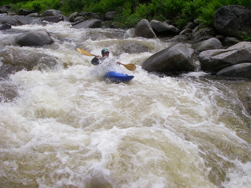
Greg Winston in Grisham at 2 ft on 6/7/13.
Jun 11, 2013
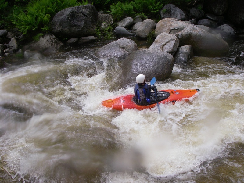
Ron Chase at Second Island. 2 feet on June 7, 2013.
Jun 11, 2013
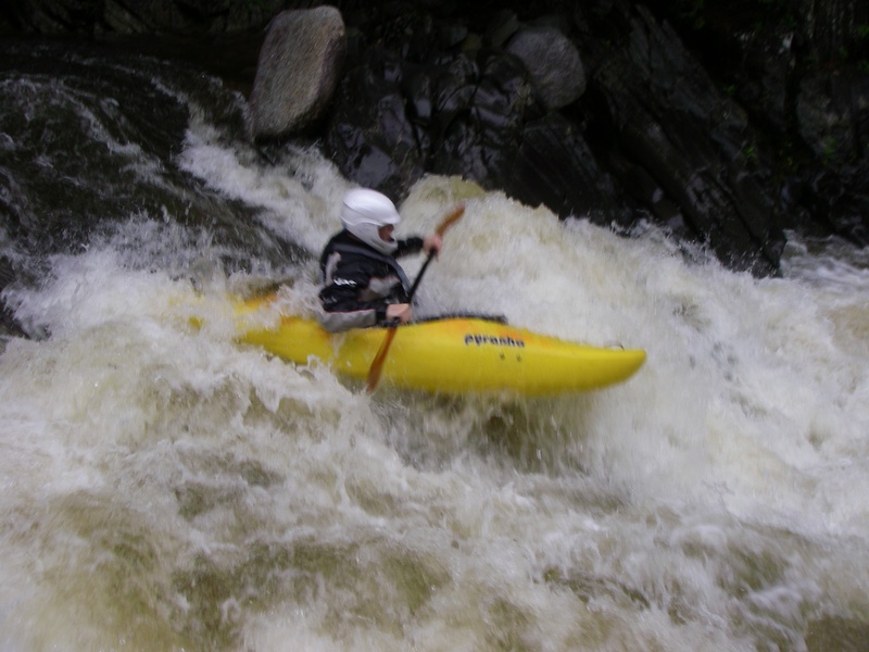
Randy Berube in Grisham at 2 ft on 6/7/13.
Jun 10, 2013
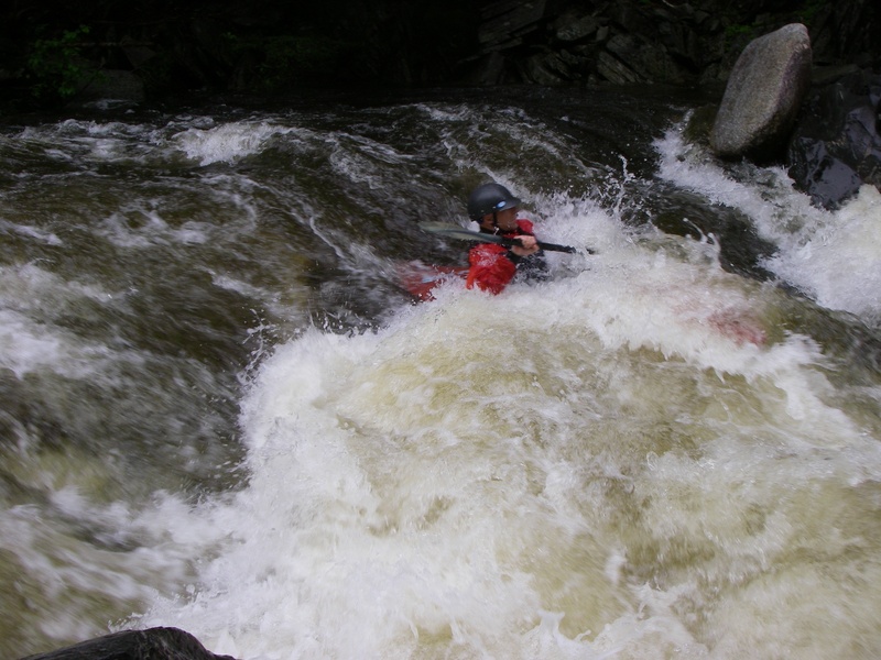
Photo taken of Jonathan Wheaton by Ron Chase on 6/8/2013 at 2 ft.
Jun 9, 2013
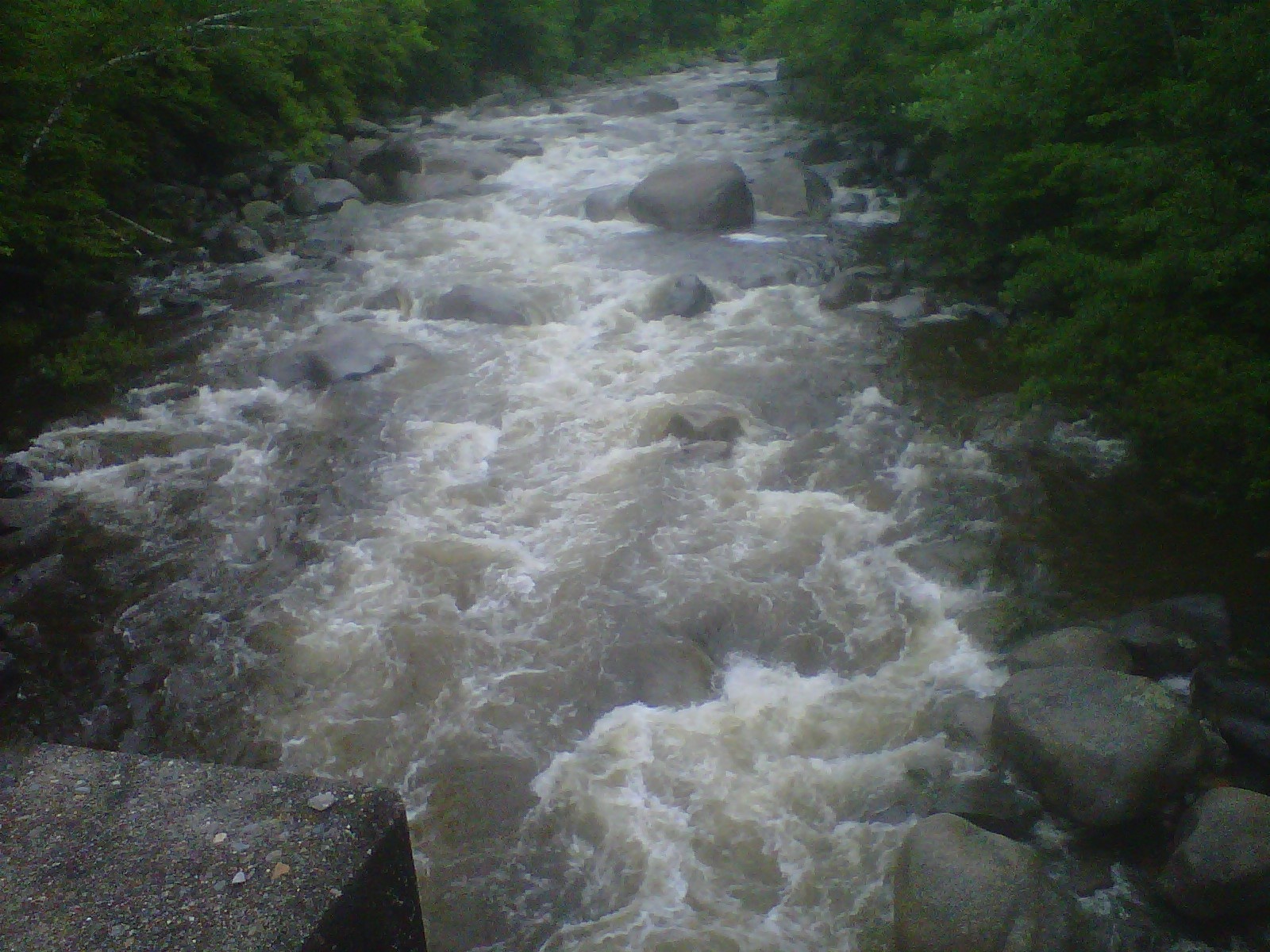
Looking upstream at Bridge Rapid, at 2 feet, from the bridge at the takeout.