| Difficulty | V |
| Length | 4.7 mi |
| Avg Gradient | 110 fpm |
| Gauge | Piscataquis River at Blanchard, Maine |
| Flow Rate as of 1 hour | 14 cfsbelow recommended |
| Reach Info Last Updated | April 20, 2022 |
River Description
Tom McKee shared:
Here's a description of the run that I wrote for someone recently that might want to be included on the website: Gulf Hagas is the best whitewater run in Maine and, now that I live in Colorado, a creek that I miss dearly.
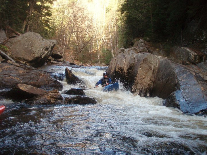
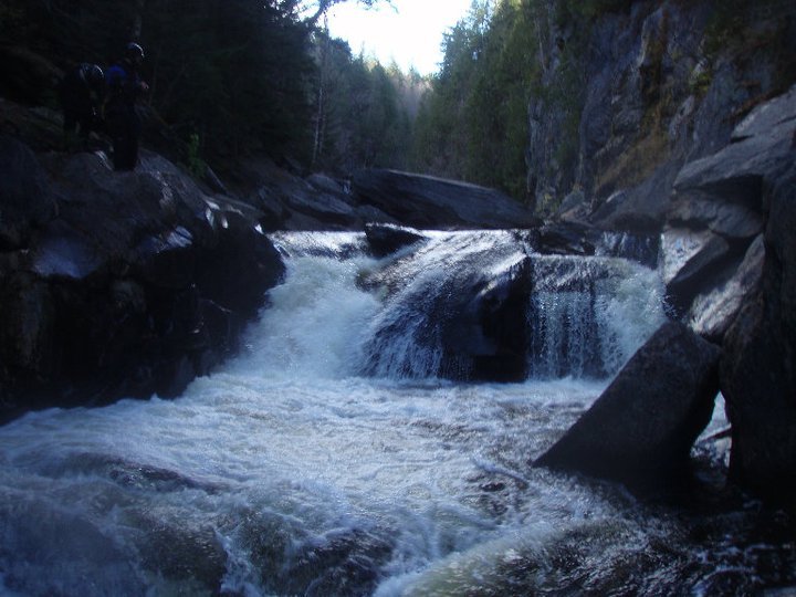
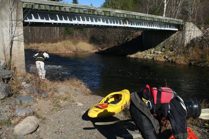
The general gist of the run is this: Overall, the river is solid class V. Your first mile is moving flatwater. Your next 1/4 mile is 4 easy ledges ranging from 6 to 18'. After that, the rest of the run (2 miles-ish) is very gorged out with very few opportunities for escape if something goes wrong. Everything is scoutable (with a little effort). So the first mile is nothing. Put in at the bridge (where the upper trail to the waterfalls starts) and float for a while. Watch for moose and other wildlife. After that, though, the character of the river changes.
First off, you have two options: 1) Keep going straight and paddle over Stair Falls, a bony triple-ledged sort of thing that is kinda fun (class III+), or 2) take a right into a tiny channel that lets you paddle over a 6-footer (my personal choice, class IV). If you miss the right, no big deal, hit it up next time. After that, the two channels meet and the run is now the same.
Next you have another easy river-wide ledge (6 foot-ish) that can be run middle or far right (class IV at best).
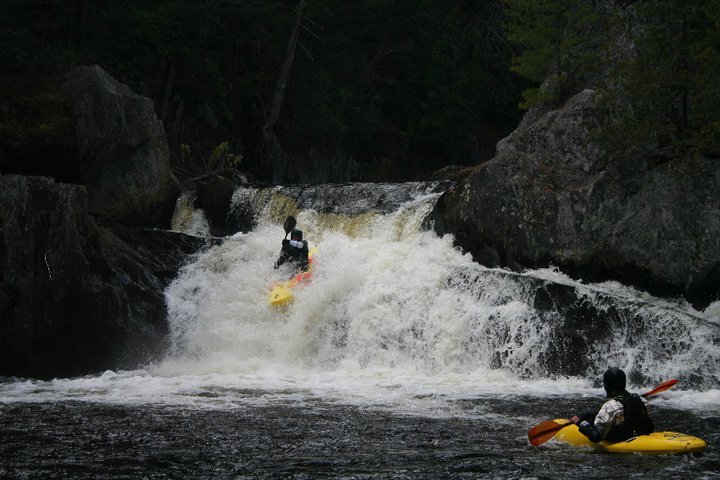
Next is Faceplant, an easy 10' boof, very fun (middle).
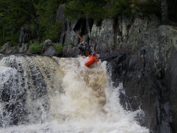
Right after that is Billings (4+), an 18' waterfall (boof middle, boof right, or slide left).
Okay, that's the first 1/4 mile of whitewater. Freaked out? Just get out before Billings on river left (I think it's possible) and hike back upstream on the trail on river left back to the car.
So the run has been quite open up to this point. Often you can see people hiking or hard-core folks finishing the AT. Right after this moment, though, things change significantly. From here on out the gorge walls will rise vertically 100+ feet and instead of ledges you will generally have har
...River Features
Put In
Access PointDistance: 0 mi
Dead Moose Sluice
Waterfall / Large DropClass: IVDistance: 0 mi

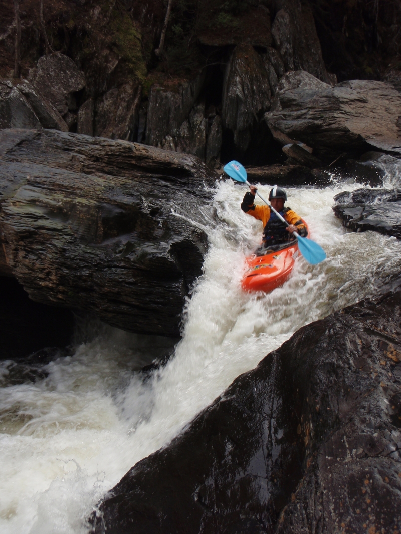
The River forks and for the attentive boater there is a micro channel that reconnects the two 1st drops in the right and Left Channels. The Prefered Right Channel leads to Dead Moose Falls for a sweet 6 foot boof. Best to stay off the walls in the landing.
Stair Falls
Waterfall / Large DropClass: IVDistance: 1.4 mi (approx.)
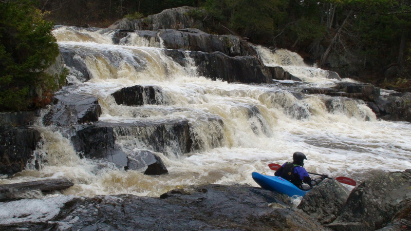
Several Scrapy Steps that are pretty but not much fun. If they look good the gorge will be hell.
Billings Falls
Waterfall / Large DropClass: IV+Distance: 1.6 mi (approx.)
Right after Faceplant is Billings (4+), an 18' waterfall (boof middle, boof right, or slide left).
Buttermilk Falls
Waterfall / Large DropClass: IVDistance: 2.8 mi (approx.)
A sweet 15' ledge.
Take Out
Access PointDistance: 4.7 mi
Trip Reports
Log in to add a reportBB
Bill Blauvelt
May 26, 2014
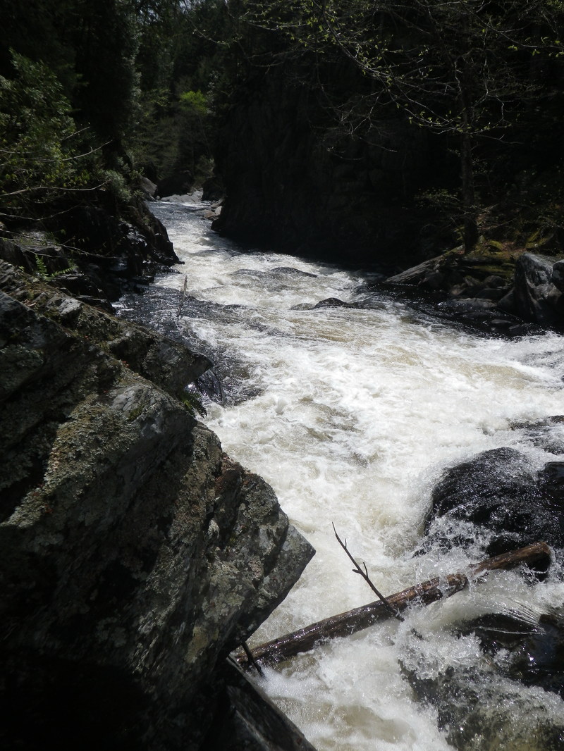
This strainer is on far river left below Buttermilk Falls. This is probably not the most likely route unless you are looking for sneak routes, but a hazard none the less.
WG
Wayne Gulmantovicz
Nov 5, 2010
River left channel leads to the 1st Falls, a scrapy Staircase...we didn't bother run it even at 10'. Note there is a micro cross connect channel that connects the top of the two first falls. The current is not so strong and can be paddled either way. Always run the right channel unless its stuffed with wood cause the staircase sort of sucks.