St. George
Payson Park
| Difficulty | II(IV) |
| Length | 42.3 mi |
| Avg Gradient | n/a |
| Reach Info Last Updated | May 15, 2006 |
Lat/Longitude data are very approximate.
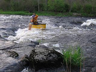
May 14, 2006
This is the last surfing wave before the Payson Park footbridge. It is present at all levels that I have seen, though it was very nice today.
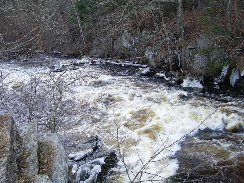
Jan 5, 2005
This is a downstream view of the rapid that is the beginning of the Payson Park section. It is running very high as there are a number of downstream rocks that are very large that are underwater. At lower levels, a was out of this would be uncomfortable at best and probably scary. There is a rock on river right that the current flows into that collects large trees as the river drops.
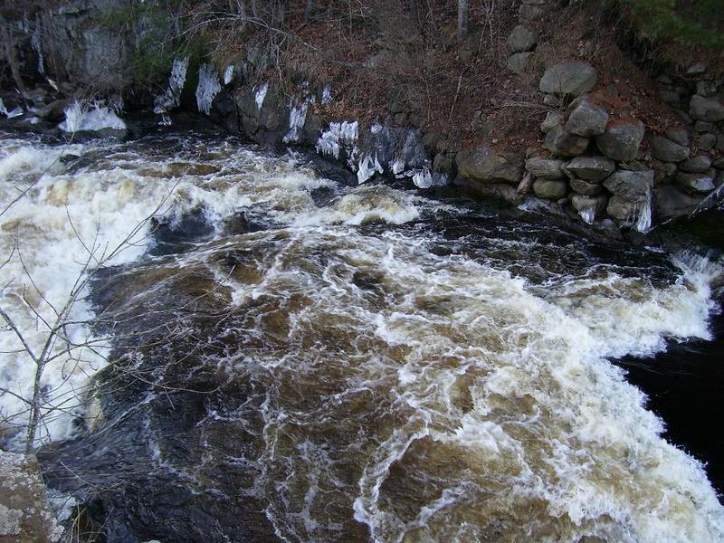
Jan 1, 1900
This is an overhead shot of the rapid where you can see the double drop. At even higher levels the top drop becomes a beautiful glassy wave, though the bottom wave takes on an angry and mean look.
This shows the large eddy on river left that is a great place to putin to paddle down to the footbridge takeout in Payson Park. The short path down to this is steep and muddy, watch your step.