Wassataquoik Stream
Orin Falls Trailhead/International AT river Crossing to Whetstone Falls(Lower Wassataquoik)
| Difficulty | II-III |
| Length | 9.2 mi |
| Avg Gradient | n/a |
| Gauge | East Branch Penobscot River at Grindstone, Maine |
| Flow Rate as of 38 minutes | 535 cfsbelow recommended |
| Reach Info Last Updated | April 20, 2022 |
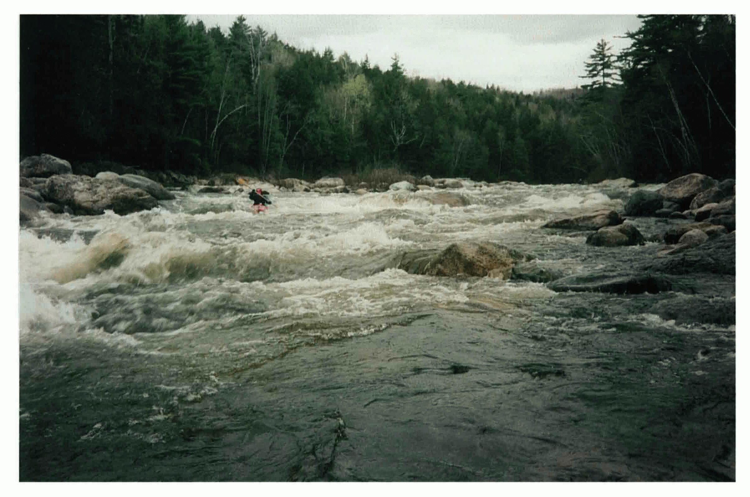
The headwaters of Wassataquoik Stream rise on the north slope of the Mount Katahdin massif in northern Maine. A remote, pristine mountain stream, it flows southeasterly and joins the East Branch of the Penobscot River a few miles west of the Town of Stacyville. The lower nine miles provides an excellent Class II/III paddle in a scenic, wilderness setting. The almost continuous rapids are suitable for intermediate boaters or anyone who loves paddling wild, picturesque rivers. It can be run as a day trip or as the first day of an extended canoe trip, finishing on the East Branch.
No trip reports yet.