Trip Reports
Log in to add a reportBB
Bill Blauvelt
Sep 13, 2013
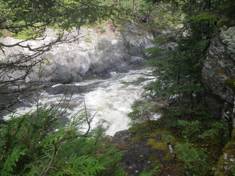
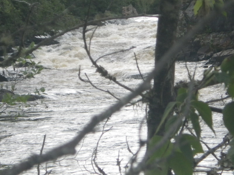
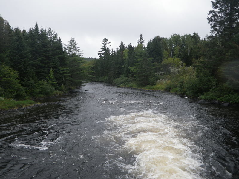
Looking downstream from Grand Pitch.
BB
Bill Blauvelt
Sep 13, 2013
This Grand Pitch is not to be confused with the Grand Pitch on the East Branch of the Penobscot. We camped the the following day.
BB
Bill Blauvelt
Sep 13, 2013
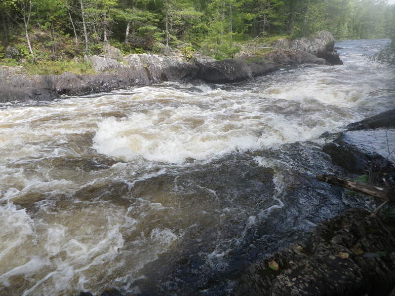
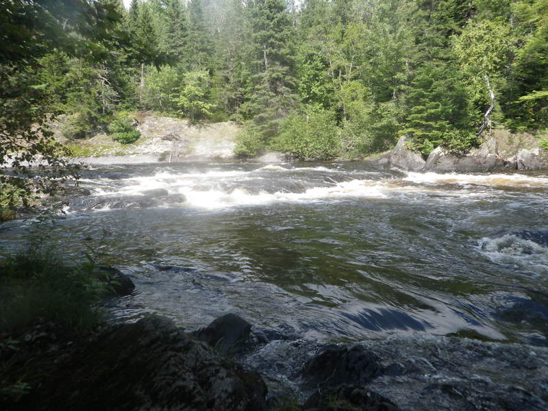
I think this is the rapid just before Grand Pitch?
BB
Bill Blauvelt
Sep 13, 2013
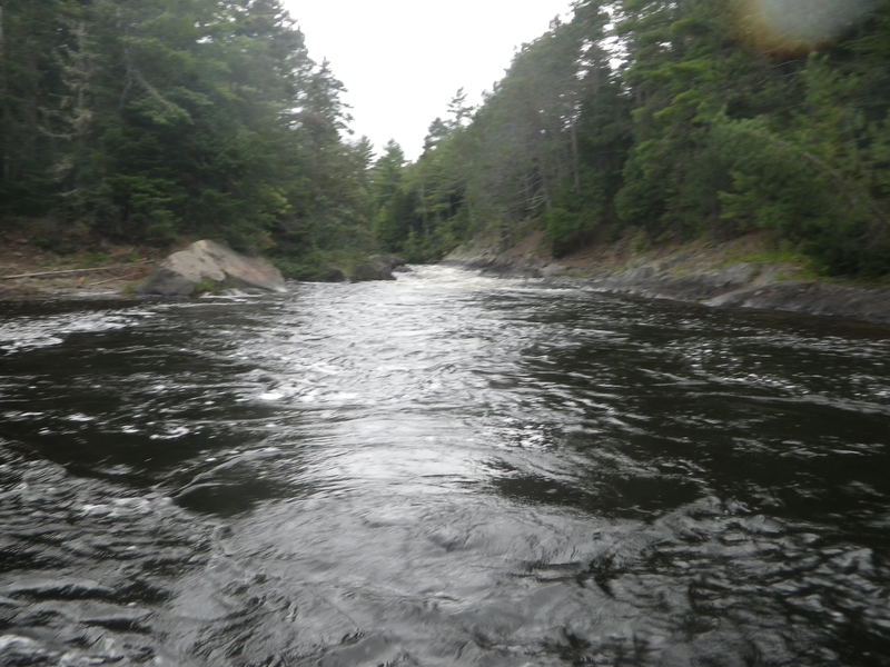
Almost to Second Lake of Grand Lake Matagamon now.
BB
Bill Blauvelt
Sep 13, 2013
Looking upstream from Grand Pitch.
BB
Bill Blauvelt
Sep 12, 2013
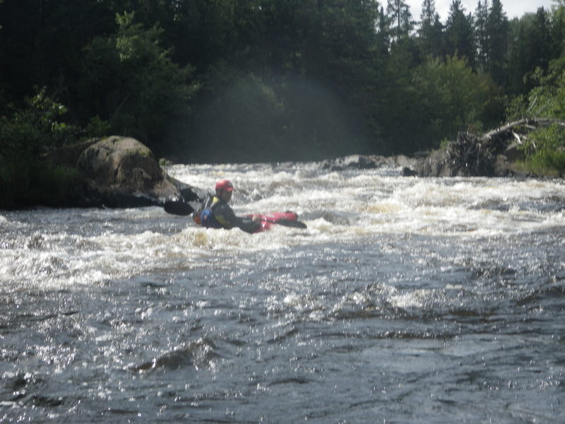
Typical rapid on the lower section before the portages.
BB
Bill Blauvelt
Sep 12, 2013
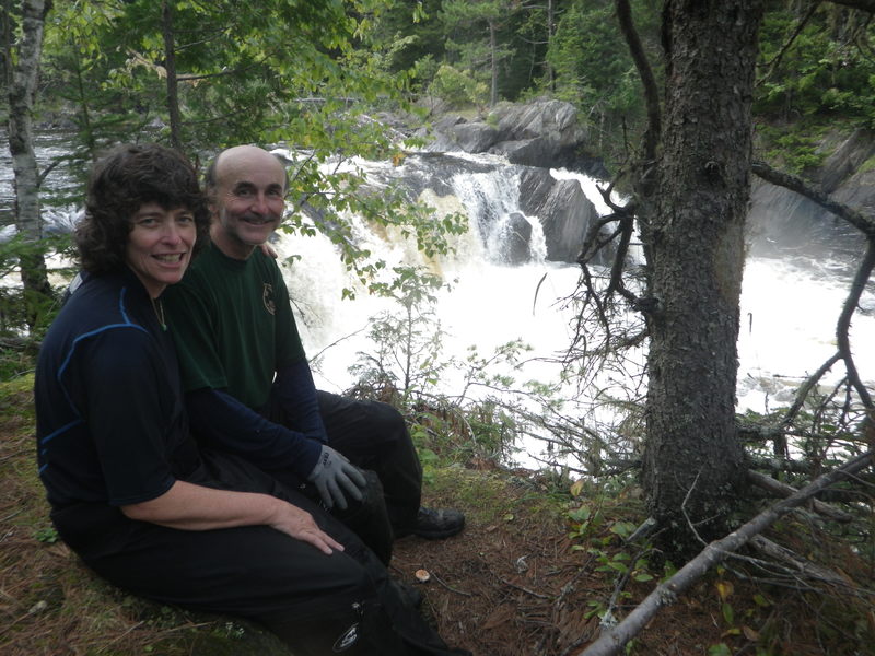
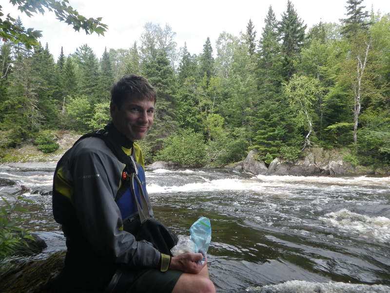
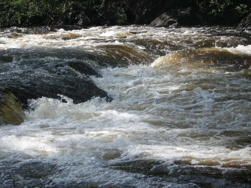
Ken takes a break after watching run one of the nicer rapids.
BB
Bill Blauvelt
Sep 12, 2013
Ken gets a little play time in before we get to the mega portage.
BB
Bill Blauvelt
Sep 12, 2013
We ran it on September 4, 2013. We called Maine Division of Parks & Public Lands at 941-4014. They said there would be enough water through t least mid September. When we got to Chamberlin Bridge, the ranger said he just it back to 90 cfs, but we should have enough to get down. We were expecting around 300 cfs. The map shows a dirt rd that leads to the dam at the end of Telos Lake, which is where a short section (about a mile) of Webster Brook runs to Webster lake. We opted to put in at Chamberlin Bridge and paddle the six miles across the lake because we were out for a week anyway. This mile of Webster Brook probably was around 90 cfs, which was just enough to get down. we only had to drag over one gravel bar, and that was because a strainer blocked the deeper route. This section is pretty much moving flat water and class I. No more than class II.
Then we paddled 3 miles across Wabster Lake and camped at very small leanto. A significant amount of rain fell since we put on a t Chamberlin Bridge, which is probably why there was a lot more water in the next 10 mile stretch of Webster Brook had more water. It still seemed on the low side when we enter the stream, just at the end of Webster Lake, but by the time we got to the rapids and portages near the end, it seemed like a lot more cfs. The first several miles are pretty easy, mostly class I-II. Then you get to a few rapids that a re bit more, probably class III. We ran one that we thought was Grand Pitch, since we had no idea what is looked like. Then the next one was bigger. We portaged it think that was Gran Pitch. After loading the bots and paddling another very short distance, we had to get to get and portage again. This time it was Grand Pitch. We loaded up and set out again, only to find another rapid we had to portage. This last mile or so of river took us three hours. Another mile and a half got us to our next campsite at Pine Point on Second Lkake of Grand Lake Matagamon. You have to reserve this site through Baxter State Park. This is 20 miles from Chamberlin Bridge as a canoe floats. About another 7 miles across the lake is a boat ramp at Matagamom Gate. You could take out here, assuming you can leave your car, or arrange for a shuttle driver like we did. We continued down to the East Branch of the Penobscot, and took out at Gridstone, 65 miles and 7 days from Chamberlin Bridge. See the E. Branch link for our trip report, which we plan to write and post soon.
We did not see the Webster Stream leanto that shows on the National Geographic, Baxter State Park North map #754. It map be for backpacker and not easily accessible from the river?
BB
Bill Blauvelt
Sep 12, 2013
The National Geographic, Baxter State Park North map #754 is a very good map for this trip.
BB
Bill Blauvelt
Sep 12, 2013
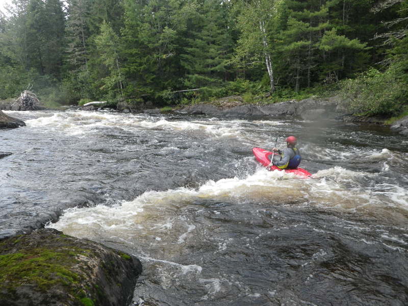
About 3/4 of the way through, the rapids pick in difficulty.
BB
Bill Blauvelt
Sep 12, 2013
We hit this one in the wrong place and swamped the canoe.
BB
Bill Blauvelt
Sep 12, 2013
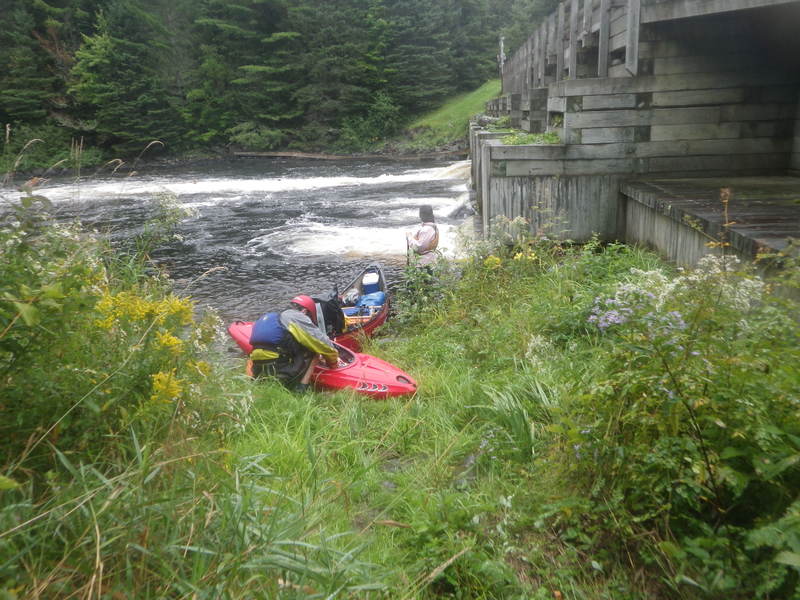
The outfow of the dam leading into the one mile section between Telos Lake and Webster Lake. We think is is 90 cfs, based on what the ranger told us at Chamberlin Bridge the day before.
BB
Bill Blauvelt
Sep 12, 2013
The Dam at the start of the mile section between Telos Lake and Webster Lake. No significant whitewater on the one mile section.
BB
Bill Blauvelt
Sep 12, 2013
This is on the first half on the 1o mile section between Webster Lake and Second Lake On Grand Lake Matagamon.
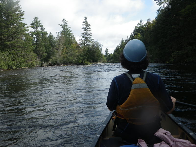
BB
Bill Blauvelt
Aug 26, 2013
Here is a link to good article, with a phone number you can call to find out if there will be water. I just called them (on 8/26/13) and they said there will be water through at least Mid September 2013.
http://bangordailynews.com/2013/06/28/outdoors/webster-stream-trip-worth-exploring