Wild
Hastings to Gilead
| Difficulty | III-IV |
| Length | 8.7 mi |
| Avg Gradient | 47 fpm |
| Gauge | Wild River at Gilead, Maine |
| Flow Rate as of 24 minutes | 1.19 ftbelow recommended |
| Reach Info Last Updated | December 3, 2014 |
[Note: Commentary and description taken from email from Gary Bamberger. Eventually we'll write up a proper description of this river.]
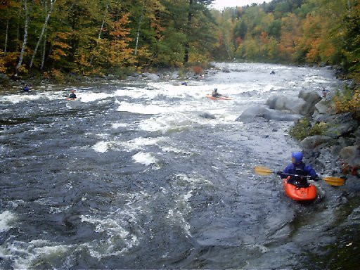
Yahoo, we finally caught the WILD RIVER at a prime level. We did 2 runs today and as the AMC Guide says...a few inches makes a BIG difference! On the first run we decided to take the left fork in the road (Me Rte #113) at the suspension bridge and run Evans Brook which runs along route 113 down the north side of Evans Notch into the WILD RIVER and then down the Wild to the take out at Rte. #2. Evans Brook is a really small stream and it will likely be a while before it's runable again. Although it did have a bit of wood in it, we were able to paddle through without getting out of our boats. The second run we ran the more traditional Wild river trip by driving/walking up the right fork in the road to the upper section. All in all we agreed that the best paddling/play is really below the suspension bridge so even if the gate is locked to Wild RIver Campground...you haven't miss too much play. HOWEVER, when Me. Rte #113 (the Evans Notch Rd) is closed, as it was today, it's a long walk to the confluence of Evan Brook and the Wild River at the suspension bridge...a minimum of 1 1/2 miles and more if you want to run Evans Brook or the upper section from Wild River Campground (5 miles)...However, we had the key to the gate hee- hee! ;-) Anyway here's our consensus: The first run according to the USGS gage was running 7 feet (3500CFS) and on the second it had dropped to 6.5' (~2500CFS). On both runs the water was up into the trees/bushes along the riverside. The first run felt a little washed out with some good sized waves, many holes you really would really rather look at from the other side of the river, and few eddys to rest in. The second run was much more playful with wave upon wave to surf and more friendly holes to play in. It surprised me that just 6 inches made such a difference. I had heard from other local paddlers that 6
Put on on Blue Brook at the Wild River Campground just above where the brook flows into the Wild River. The brook flows directly into the middle of a nice drop; some people drag their boats thru the woods and put in directly on the Wild above this first drop.
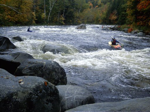
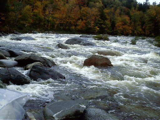
The second major drop (the first is at the put-in) has a large ledge extending out to river center from the right. The remaining left and center of the river is completely covered by a series of large holes that feed into one another. Care is recommended here.
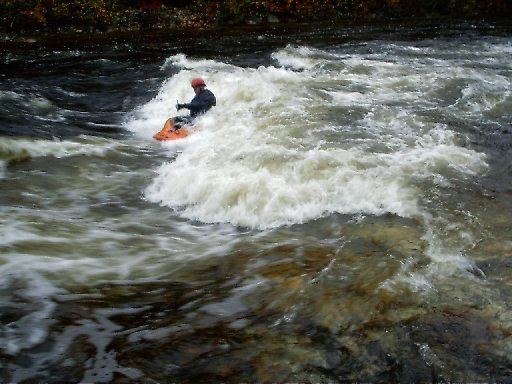
A great surfing spot next to a huge flat rock. Nice spot for lunch (similar to Smooth Ledge on the Rapid).
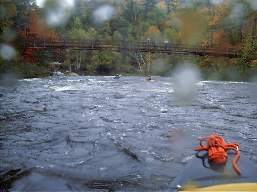
The suspension bridge crosses over the river just below where the campground road forks off of Route 113. The marks the start of the most interesting section of river. During the off-season when the campground road is closed and gated this is the usual put-in.
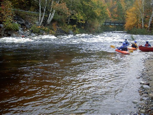
A great play area is found just below where the campground road branches off Route 113. A large gravel beach, good for a long lunch stop is on river left. An added advantage making this a good lunch spot is it is just below the suspension bridge allowing easy access to food, etc, stored in cars parked along the road nearby.
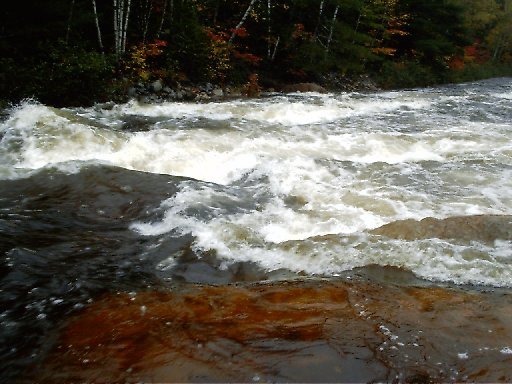
The most difficult quarter-mile section of the river is where two class IV drops are seperated by several hundred yards of class II/III water. Scout the top part of this area just downstream from a roadside pull-off aproximately one-and-a-half miles upstream from the take-out. Walk (drive) downstream a short distance and walk thru the woods for a look at the lower half.
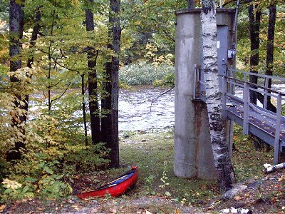
The take-out is by the gage where Route 113 meets Route 2.