Black
B) Upper: Ramsey (Mill St) to Gabbro (Baker) Falls (2.42 miles)
| Difficulty | II-III |
| Length | 2.4 mi |
| Avg Gradient | 50 fpm |
| Gauge | Black at Ramsay Approximation |
| Flow Rate as of 40 minutes | 8 cfsbelow recommended |
| Reach Info Last Updated | April 2, 2019 |
Quick Facts:
Location: Western Upper Peninsula, Michigan, between Bessemer & Wakefield (about 8.5 miles ENE of Hurley/Ironwood).
Shuttle Length: 3 miles. (See details in 'Directions' Tab.)
Drainage area at gauge: (a few miles downstream of take-out for this reach) 200 square miles.
Note: Boaters may wish to combine this reach with all or part of the section upstream to make for a longer trip.
This reach is characterized by fairly continuous class II rock and boulder bed rapids leading into some entertaining sequences of small ledges in the final mile. There is a Neepikon Falls shown on many maps downstream (north) of the Hwy.2 bridge, but it is difficult to ascertain which portion of the small ledges is the 'falls'.
Take-out is at an underground pipeline right-of-way which may be reached by driving to the Blackjack ski area on Blackjack Rd, crossing the covered bridge over the river, turning left in the parking area and following the road back upstream to an obvious clearing at the top of the hill. Walk down to the river at this point to mark or make certain that you can recognize it from the river as this is only a short distance upstream of Gabbro Falls. At higher flows and/or with less experienced paddlers, it may be prudent to use another pipeline clearing about a quarter mile upstream to minimize the potential of a paddler being flushed into this potentially fatal falls.
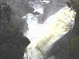
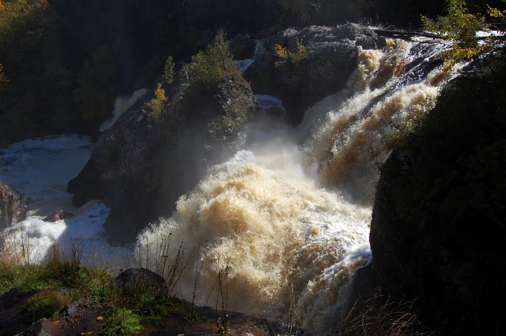
There is one more good drop just downstream of the recommended take-out that may be run with caution as this places one very close to the brink of Gabbro Falls. Known locally as Baker Falls, Gabbro has an initial drop of about 10' onto rock, immediately spilling another 25' into a narrow slot, with the river turning 90 degrees to the right at the base of the falls (see photo above). The exit from this mini-canyon is a constriction of about
...
As the river heads toward Main Street, it passes under former rail line and is squeezed between cement walls, tripping across some waves and holes.
USGS lists a 'sampling site' (used for thirteen occasions from 1921-1976) and shows drainage at this point as 78 square miles.
Immediately upstream of Hwy.2, a slightly more significant ledge may create some fine play (at some flows) or could potentially be 'sticky' at some flows.
Rather than a 'falls', this is more a rather short series of relatively minor ledges and rapids. (And, on all maps I've seen, seems to be marked well upstream of the actual location of the best action.) It comes to an end as you reach a minor clearing (though trees have populated near both shores).
Downstream of this first clearing, you'll find a fine sequence of rapids. However, this serves as your 'notice' to be on the lookout for the next clearing, which is your take-out before Gabbro Falls.
There is a fine drop just beyond this Second Clearing. However, Gabbro Falls lies perilously close downstream of that. We advise getting out at this clearing.
This falls is BEYOND the highly recommended take-out for this reach. While the falls has been run (by Tao Berman and crew) it is NOT recommended for the vast majority of boaters. Thus, make certain to get out at the power-line clearing upstream of this falls.