| Difficulty | II-III |
| Length | 12.3 mi |
| Avg Gradient | 26 fpm |
| Gauge | Illinois Bayou Near Scottsville, Ar |
| Flow Rate as of 1 hour | 4.84 ftbelow recommended |
| Reach Info Last Updated | February 17, 2009 |
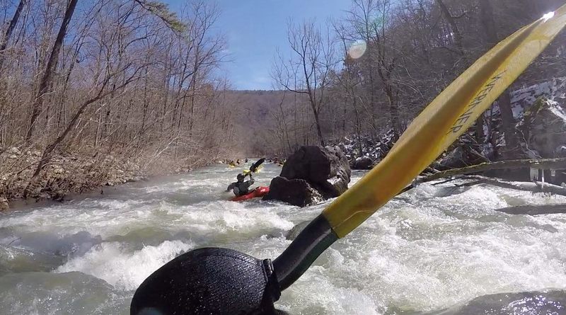
River Description
Put-in elevation is approximately 920'.
Take-out elevation is approximately 600'.
Thus total elevation change is approximately 320'.
The last 2 miles can be run by shuttling up the road on river right from the Hwy 27 bridge to the confluence of Snow Creek. This section can usually be run down to 7' on the gauge.
River Features
Put In
Access PointDistance: 0 mi
Take Out
Access PointDistance: 12.2 mi