| Difficulty | II-III |
| Length | 8.7 mi |
| Avg Gradient | 27 fpm |
| Gauge | Lee Creek at Short, Ok |
| Flow Rate as of 1 hour | 2.68 ftbelow recommended |
| Reach Info Last Updated | January 25, 2009 |
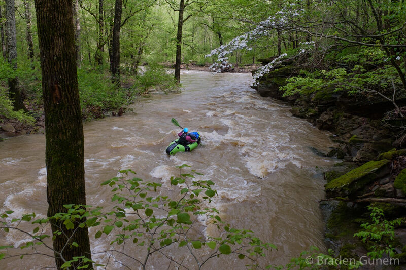
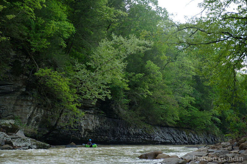
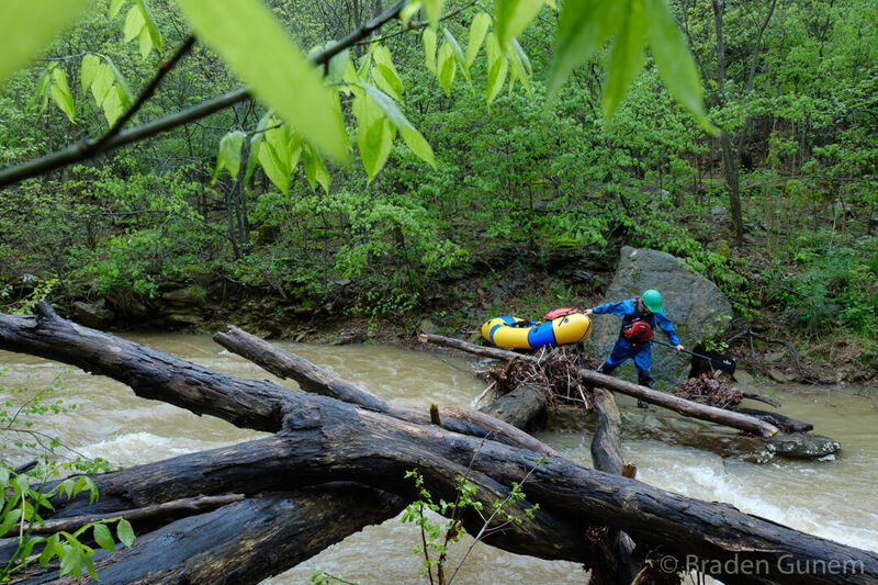
River Description
Quick Facts:
Location: NW, approximately 20 miles SSW from Fayetteville.
Shuttle Length: 9.3 miles. (See details in 'Directions' Tab.)
Put-in elevation is approximately 986'.
Take-out elevation is approximately 754'.
Thus total elevation change is approximately 232'.
Information (lat, lng, elev, total drop, run length, shuttle length) adjusted and/or verified from best manual extrapolation of online data (via maps.google.com, distance measuring tool, and other resources). 2009.01.25
See the Lee Creek, Ozark Whitewater Page
River Features
Put In
Access PointDistance: 0 mi
Take Out
Access PointDistance: 8.6 mi