Log in to edit
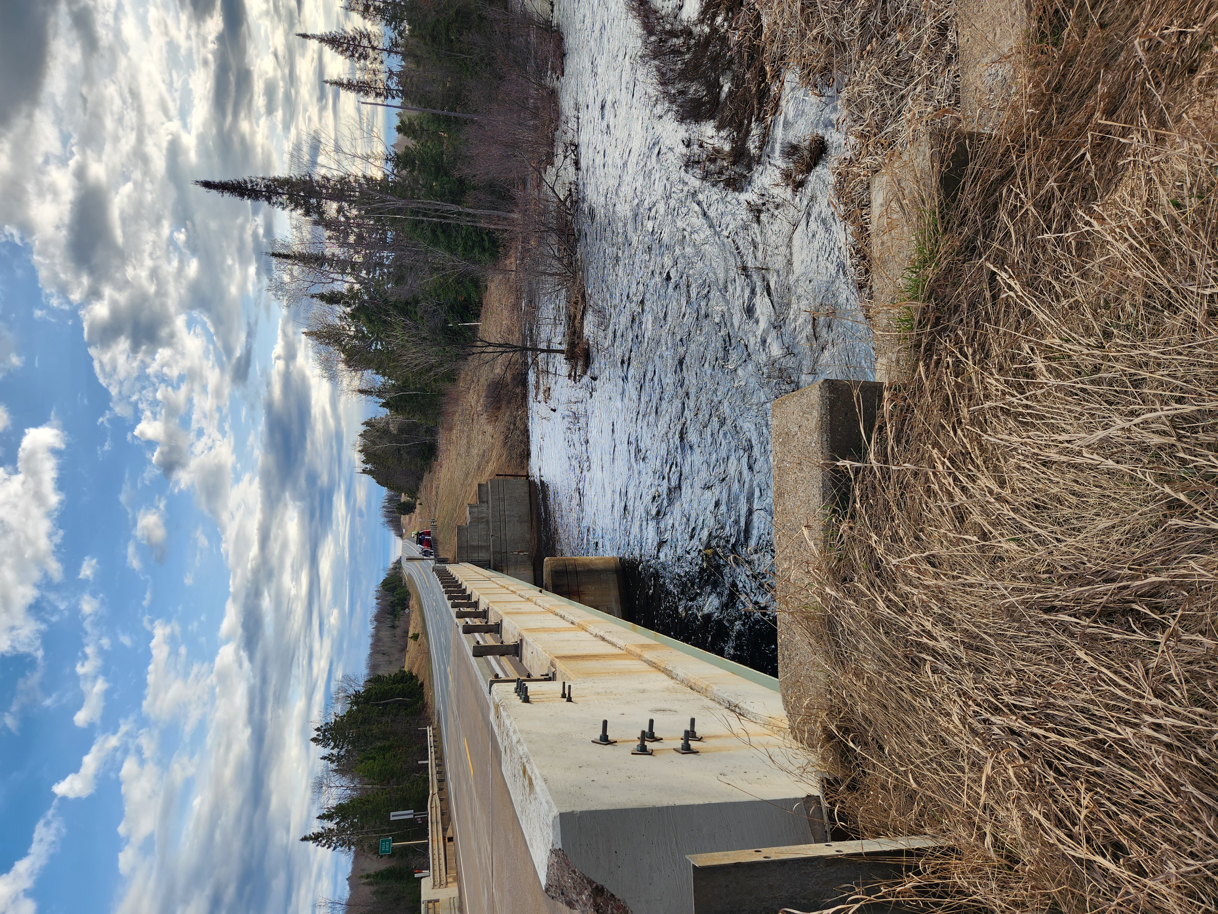
Hwy.41 / USGS site / Alternate put-in/take-out
Access Point46.57285, -88.49473
Description
USGS lists a sampling site at Hwy.41 with drainage area at this point of 40.3 square miles.
While one could shorten the trip by 2+ miles by putting in here, we generally recommend using the upper put-in (as listed on this reach). It gives boaters (especially those who may be less familiar with the run) a chance to 'warm up' and see what the run is like.
If you have any difficulty or concern running the upper part of the run (down to this location), you should seriously consider taking out here. The run from here down steps things up a notch or two.
Photos
Banner