Log in to edit
Put In
Access Point0.00000, 0.00000
Description
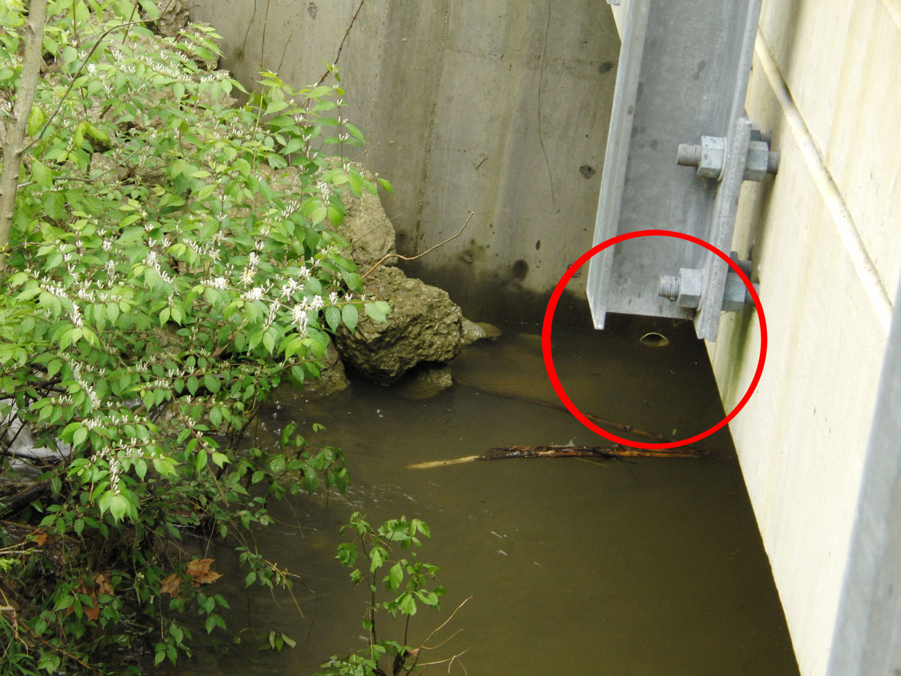
You can use this white pipe under the bridge as a gauge for upper Cedar Creek. It's at Cedar Creek Road (near Johnson School Road) on the upstream side of the bridge, river left. This photo was taken when the gauge said 2.1 feet and going down. If it was at 2.1 feet and going up then it would most likely have been higher here since the USGS gauge is about 4 miles downstream.
Photos
Banner