Confluence: Wilson Creek (Combined drainage becomes 17.4 sq.mi.)
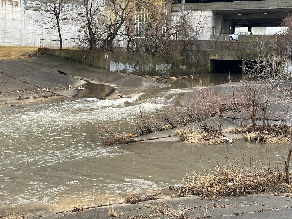
Description
Immediately after our listed (theoretical) put-in, Wilson Creek enters river-right. It has 3-4 times the drainage area as the Kinnickinnic above this point, but is considered a tributary!
Some may wonder: if Wilson is that large, why not boat it! Well, before this confluence, it is underground for about a quarter-mile! Its an open cement ditch for ~0.35 miles, then there's another nearly 0.2 miles in a box-culvert (under Point Loomis Shopping Center). Go up another 2.6 miles and its underground again (from Layton to Howell, coming out of the north end of Mitchell field. By the way, entrance to this culvert is grated/gated, so you would have to portage! The vast majority of the above-ground portion of Wilson is uniform sides and bottom cement ditch with no significant features (no pourovers or 'jumps').