Log in to edit
Gauge on M-28
Other46.44269, -87.26215
Description
There are two ways to evaluate the water level on the Chocolay.
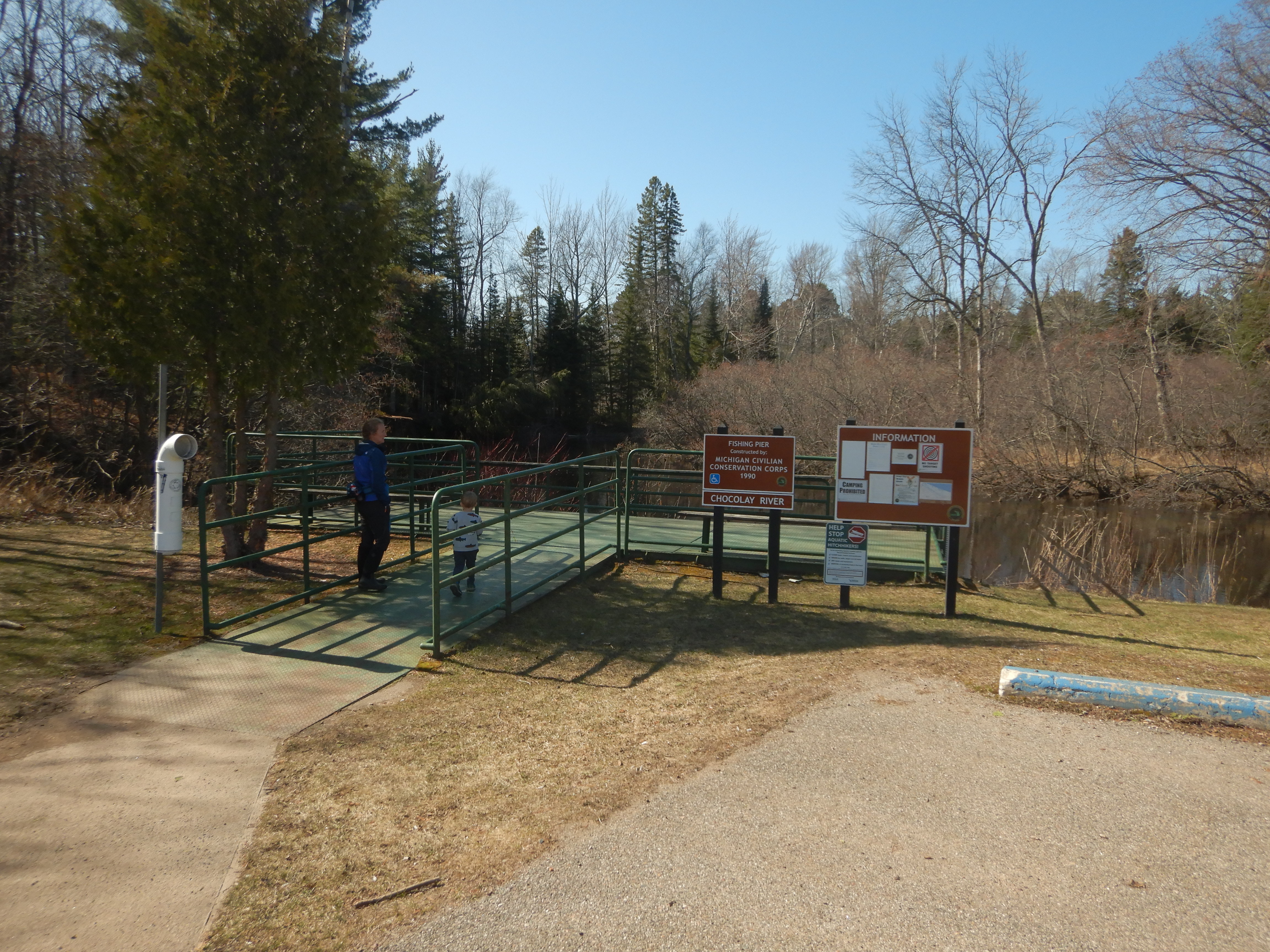
1. Just west of the bridge over the Chocolay on M-28, there is a parking lot with a fishing pier. At one corner of the pier is a guage. It can be paddled at about 6.5'.
2. At the put in bridge on 41 south, look at the north bridge abutment on the east side. There are lines in the concrete of the abutment. It can be paddled when the water is at the 3rd line fown.
Photos
Banner