| Difficulty | II-IV |
| Length | 7.5 mi |
| Avg Gradient | 20 fpm |
| Gauge | Presque Isle River Near Connorville, Mi |
| Flow Rate as of 34 minutes | 5.35 ftbelow recommended |
| Reach Info Last Updated | March 3, 2022 |
River Description
Reach includes Minnewawa Falls and Nimikon Falls.
Some fine video of this run is available at: https://youtu.be/nk85E9flJEM
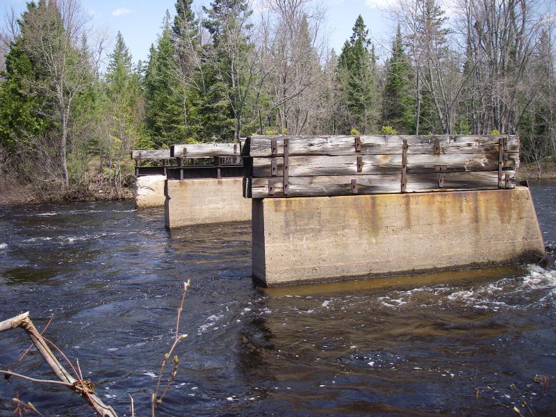
Put-in: broken bridge on Underwood Tower Road
Take-out: Steigers Bridge on logging road
Note: Getting shuttle vehicles down to the listed take-out at Steigers Bridge may not be available due to the logging road being closed (gated). This may necessitate continuing downstream to run the Lower Presque. This makes a long day, paddling a total of 15.7 miles (or 16.8 to the mouth, including the 'final mile' or Bottom Presque run).
Note: There is about 16 miles of low gradient river from the listed take-out of the prior (upper section) to the put-in for this section.
Click here for Part 1 of an article from the AW Journal, way back in 1981!
Click here for Part 2 of the article.
The article describes the following: Michigan's, Upper Presque Isle, Lower Presque Isle, Middle Black, Lower Black, Upper Silver, Lower Silver,
...River Features
Put In
Access PointDistance: 0 mi
Minnewawa Falls
Waterfall / Large DropDistance: 3.77 mi

(Description from Google Satellite view)
It appears a substantial island splits the flow, with the larger channel to the right. Both channels pour into a large pool. A (logging?) road passes through below.
Nimikon Falls
Waterfall / Large DropDistance: 4.06 mi
(Info primarily from Google Satellite view)
This is not so much a 'falls' as about a quarter-mile series of ledge drops.
Take Out
Access PointDistance: 7.5 mi