We discovered that there is a PG&E or NID service road about 1.5 miles from the put in. This is a major road that crosses the river via a concrete ford, and may connect the
Next year, this accessibility and relatively friendly stream-side terrain will make it possible for boaters to scout the difficult and potentially hazardous lower section, and the unknown middle section, with a reasonable amount of effort, prior to paddling the reach. Better information regarding the reach, the opportunity to scout the crux points, and more control will provide for a much safer flow study.
Those of you who were planning to paddle these reaches this weekend can look at the AW release calendar for alternative paddling opportunities.
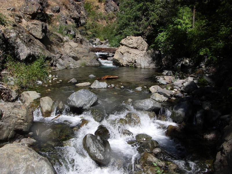
Scouting reports and photos are being posted to the Bear River: Drum Afterbay to Dutch Flat page.