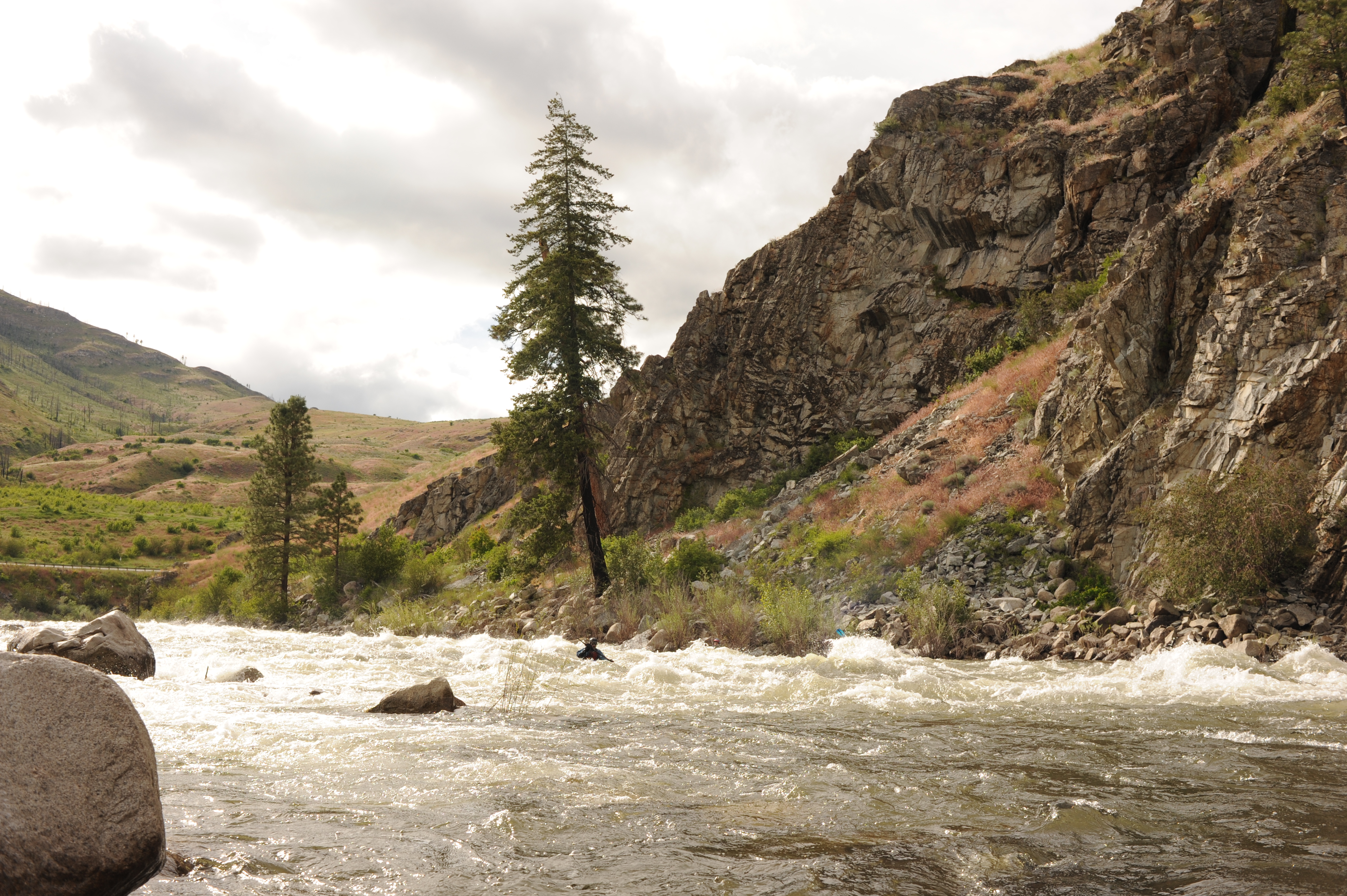
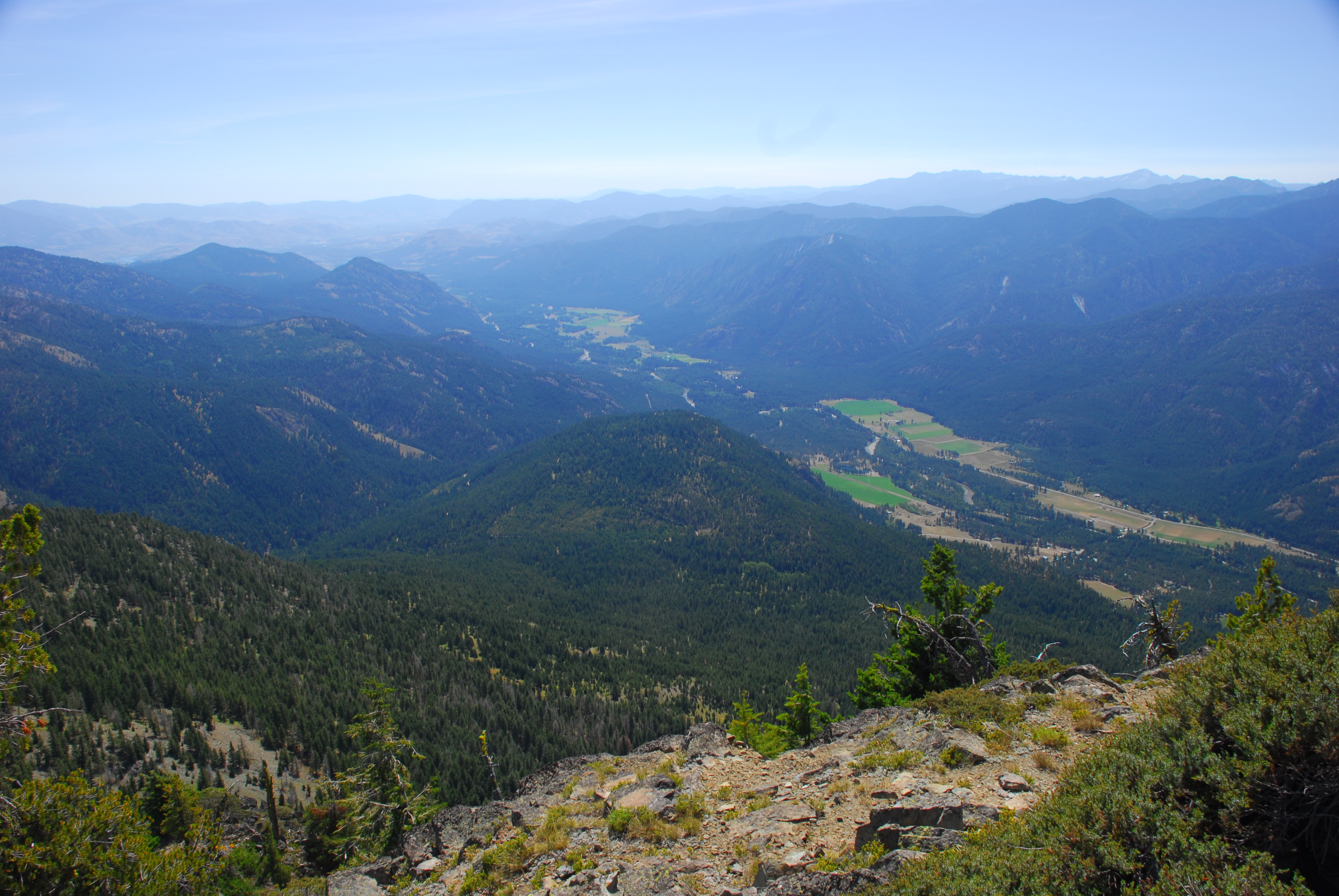
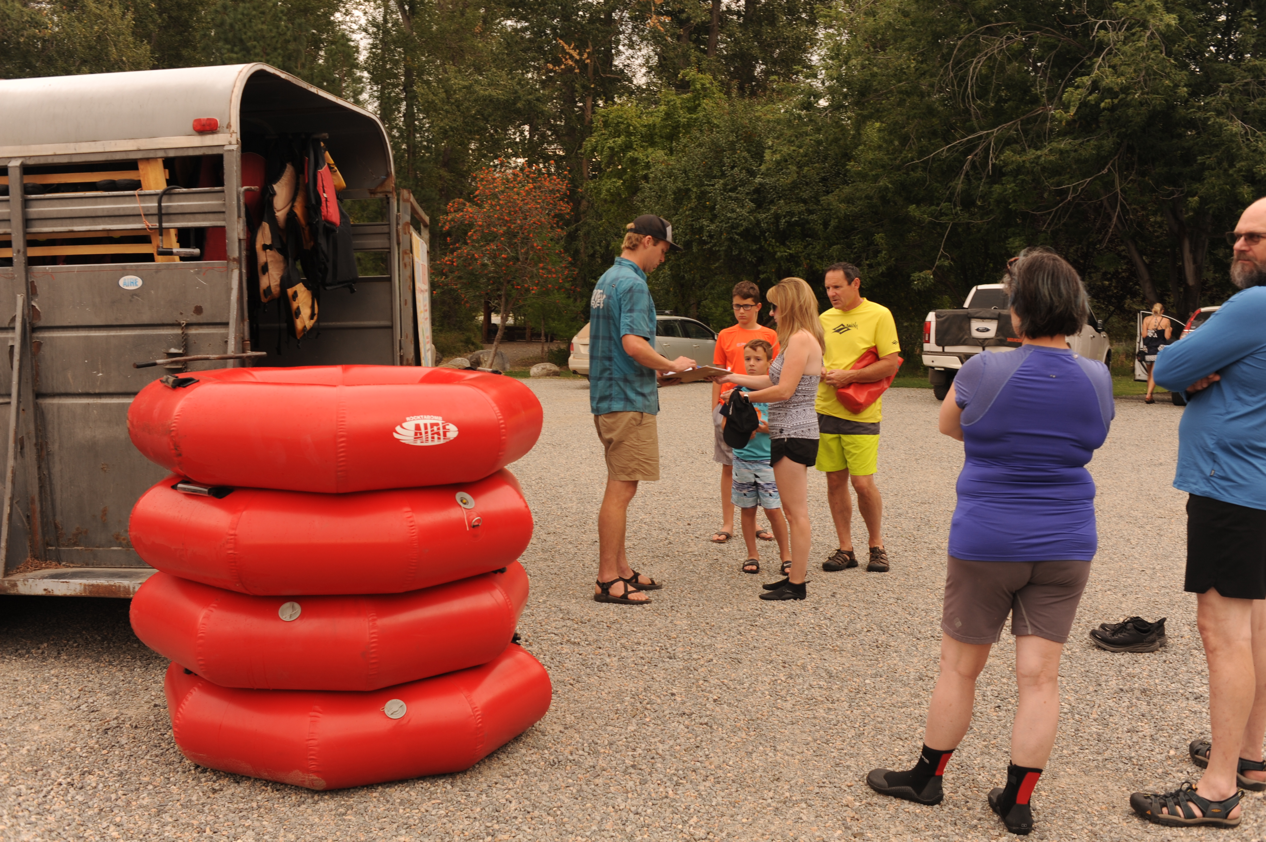
The Methow Valley is one of the most important landscapes in the state of Washington and of national significance for outdoor recreation with a diversity of opportunities for the recreational pursuits our members enjoy. Every spring, whitewater boaters enjoy the experiences on the Methow River, Chewuch River, and Twisp River that have easy access for day trips, while the Lost River offers one of the finest backcountry whitewater adventures in the North Cascades.
When the rivers are not flowing, dozens of Forest Service trails and the Pacific Crest Trail pass through the Methow Valley providing hiking and backpacking opportunities. Mountain biking trails that include Slate Peak, Rendezvous Loop, and West Fork Methow, Yellow Jacket, Cutthroat, and Cedar Falls attract riders from across the region. Many enjoy riding the Methow Community trail which connects to other riding areas and the communities of Mazama and Winthrop. Nordic skiers have access to the most extensive network of groomed trails in North America with over 120 miles to choose from. Backcountry skiers explore nearly endless terrain on the east slope of the Cascades. Climbers have easy access to Goat Wall, Fun Rock, and Propsector Wall while winter adventures can include ice climbing at Goat Wall and Gate Creek. For mountaineers, Golden Horn is a trip deep in a Forest Service roadless area that provides spectacular views of the North Cascades. Some of the best alpine climbing in the United States is a short drive up Highway 20 to the iconic Liberty Bell Group and Burgundy Spires at Washington Pass. These alpine destinations also include classic backcountry ski terrain such as Silver Star.
Wild and Scenic
American Whitewater supports designation of the Methow River and its tributaries including the mainstem Methow River, Lost River, Early Winters Creek, Cedar Creek, Chewuch River, and Twisp River as Wild and Scenic Rivers. For the segment of the Methow River downstream of the Forest Service boundary, State Scenic Waterway designation could be considered as an alternative.
The 82.9 mile length of the Methow River from Brush Creek to Pateros Reservoir on the Columbia River was identified as a potential Wild and Scenic River in the Nationwide Rivers Inventory published in 1982 and subsequently found eligible for Wild and Scenic designation in the Okanogan National Forest Plan of 1989. The Forest Service made a formal recommendation that the segment from Brush Creek to the National Forest boundary be designated as Wild and Scenic. The regionally significant outstandingly remarkable values were identified as scenic, wildlife, fish and recreation. The Forest Service notes that rafting and tubing downstream of Mazama has increased in recent years and that the segment downstream of Carlton received an overall recreation rating of high based on whitewater boating and kayaking opportunities.
The 42.8 mile length of the Chewuch River from Tungsten Creek to the confluence with the Methow River in Winthrop was identified as a potential Wild and Scenic River in the Nationwide Rivers Inventory published in 1982 and subsequently found eligible for Wild and Scenic designation in the Okanogan National Forest Plan of 1989. The Forest Service made a formal recommendation that the segment from Tungsten Creek to the National Forest boundary be designated as Wild and Scenic. The regionally significant outstandingly remarkable values were identified as scenic, wildlife, fish and recreation. The Forest Service notes that rafting and tubing use downstream from Camp 4 Campground has increased in recent years and the Chewuch River drainage receives some of the highest amount of recreation use on the Forest. The 28.9 mile length of the Twisp River from the confluence of the North Fork and South Fork Twisp to the confluence with the Methow River in Twisp was found eligible for Wild and Scenic designation in the Okanogan National Forest Plan of 1989. The Forest Service made a formal recommendation that the segment from the North Fork and South Fork Twisp to the National Forest boundary be designated as Wild and Scenic. The regionally significant outstandingly remarkable values were identified as scenic, wildlife, fish and recreation. The Forest Service found only minor amounts of rafting and kayaking but noted that the The drainage receives some of the highest amounts of recreation use on the Forest.
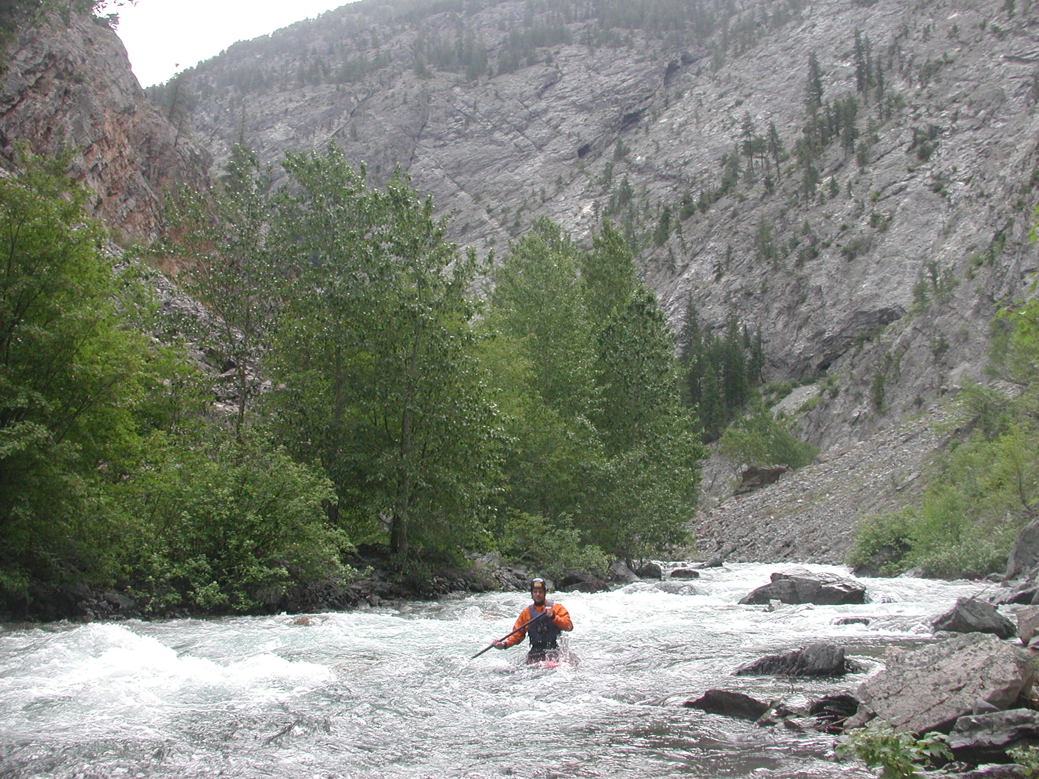
The 14.6 mile length of the Lost River from the mouth of Rampart Creek to the confluence with the Methow River upstream of Mazama was found eligible for Wild and Scenic designation in the Okanogan National Forest Plan of 1989. The Forest Service made a formal recommendation that the segment from Rampart Creek to the confluence with the Methow River be designated as Wild and Scenic. The regionally significant outstandingly remarkable values were identified as scenic, geologic, wildlife, fish. The Forest Service did not identify recreation, but did describe the Lost River Gorge as a deep gorge with a variety of geologic features and formations. This gorge has been explored by whitewater kayakers since the publication of the Forest Plan and is known as a high-challenge backcountry kayaking trip.
Early Winters Creek, tributary of the Methow River that originates at Washington Pass and parallels Highway 20, was found eligible for Wild and Scenic designation in the Okanogan-Wenatchee National Forest Plan Revision Proposed Action of 2011. The regionally significant outstandingly remarkable values were identified as scenery and recreation.
Cedar Creek, a tributary of Early Winters Creek, was found eligible for Wild and Scenic designation in the Okanogan-Wenatchee National Forest Plan Revision Proposed Action of 2011. The regionally significant outstandingly remarkable values were identified as scenery and recreation.
Protection of the River from Mining
The headwaters of the Methow River have attracted the interest of miners for many years, and the antiquated provisions of the 1872 mining laws continue to represent a threat to the health of this watershed. The North Cascades Scenic Highway Zone was administratively withdrawn (through 2030) from mineral entry and protected from mining (Public Land Order No. 7739), but this narrow zone did not provide adequate protection for the Methow River. American Whitewater supported extending this protection to the broader Methow Headwaters and making the protection for the North Cascades Highway Zone permanent to safeguard the river’s ecological, recreational, and economic values.
As evidence of the ongoing threats, a Canadian company—Blue River Resources—filed for permits to conduct exploratory drilling for copper on Flagg Mountain on U.S. Forest Service land in the Methow River headwaters near Mazama, Washington. The 1872 mining law allows any citizen or private company to stake claims, and agencies are required to evaluate such proposals. The low-grade deposit on Flagg Mountain would likely require an open-pit approach affecting at least six square miles. Industrial-scale mining here would disrupt the Methow Valley through heavy truck traffic, industrial activity, and visual impacts, while directly threatening water quality and recreation opportunities.
In a major conservation success, the Methow Headwaters were permanently protected through the John D. Dingell Jr. Conservation, Management, and Recreation Act, signed into law in 2019. This legislation secured over 34,000 acres in the upper Methow watershed from mining and other industrial development, ensuring the river’s headwaters remain free-flowing and pristine. By safeguarding these critical sources, the Dingell Act protects water quality, fish and wildlife habitat, and the character of the Methow Valley for recreationists and local communities alike. One limitation of this legislation is that it did not include the North Cascades Highway Zone, meaning that protection for that portion of the Methow Headwaters will need to be extended through administrative action or permanently secured through future legislation.
Outstanding Resource Waters Protection
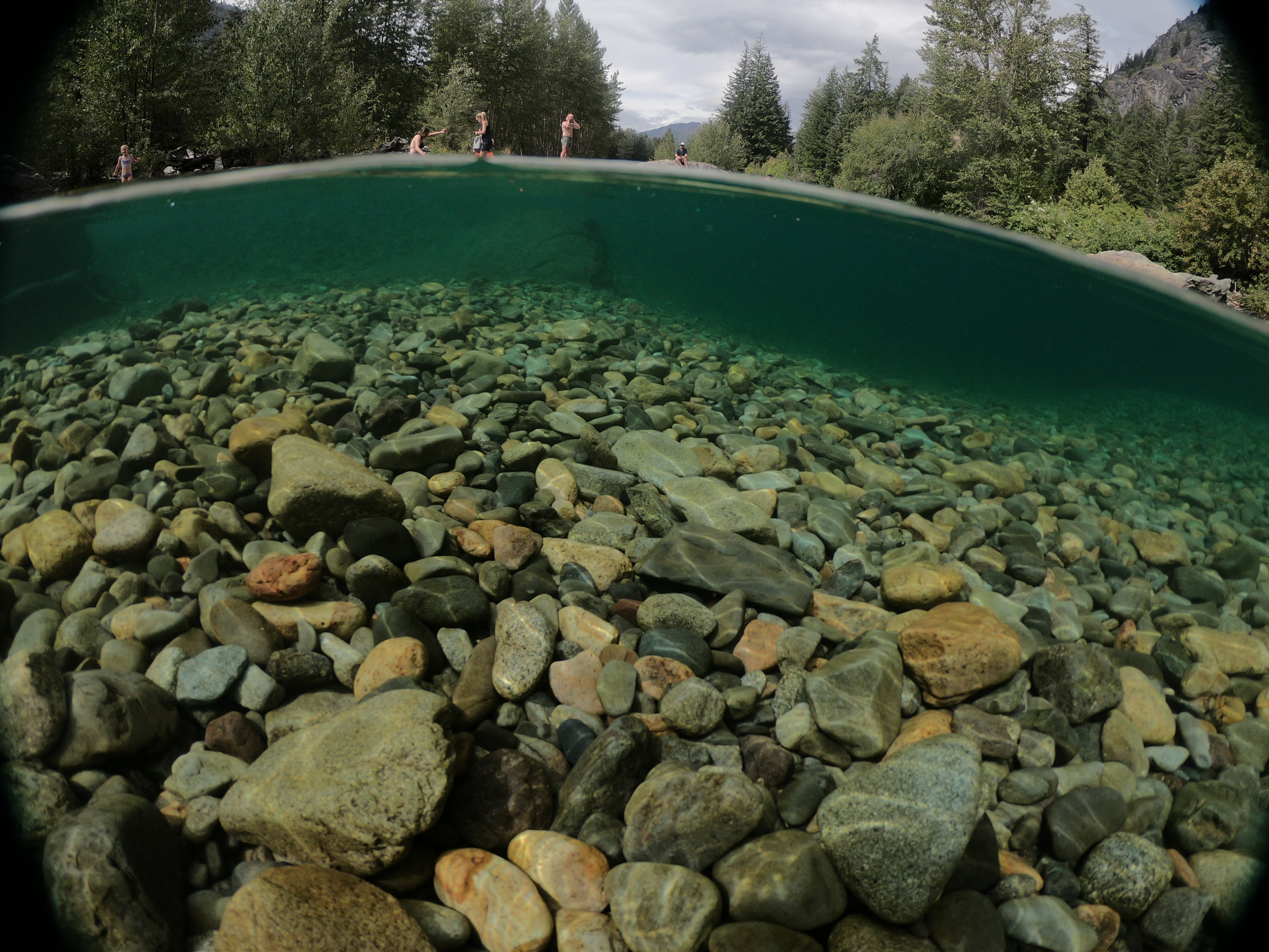

The Methow Headwaters—including the Lost River, Early Winters Creek, the upper Methow River, and the upper Chewuch River—are strong candidates for Outstanding Resource Waters protection due to their pristine condition, exceptional water quality, and ecological significance. Outstanding Resource Waters protection is the highest level of water quality designation under Washington State law, reserved for waters with exceptional ecological, recreational, and cultural values, or waters that provide critical habitat for sensitive species. This designation helps safeguard these streams from degradation, ensuring that their high-quality conditions are maintained for future generations. These high-elevation streams originate in remote alpine and subalpine landscapes, much of which lies within national forest and wilderness lands, and they provide essential habitat for threatened salmon, steelhead, and bull trout populations. The headwaters also support a wide range of regionally and nationally significant recreational opportunities, including world-class fly fishing, hiking, rafting, and skiing. Protecting the Methow Headwaters as Outstanding Resource Waters would maintain their cold-water thermal refuges, preserve the ecological integrity of the watershed, and safeguard the scenic, cultural, and recreational values that define the Methow Valley. It would also complement federal protections by adding a state-level layer of protection for the river corridor from activities that could impact water quality.
Vision for a Methow Water Trail
The Methow River, flowing 65 miles from the North Cascades to its confluence with the Columbia River at Pateros, offers a unique opportunity to develop a coordinated water trail that enhances recreational access while promoting safety and environmental stewardship. Historically celebrated for paddling, tubing, and summer water play, the river passes through diverse landscapes—from the alluvial upper reaches near Mazama, to the defined middle and lower channels near Winthrop, Twisp, and Carlton, and the Black Canyon near Pateros. While recreational use is robust, access points along the river vary in development, amenities, and safety provisions, highlighting the need for thoughtful, integrated management.
A Methow River Water Trail would provide a connected network of public access sites supported by community partnerships, signage, and educational outreach. Improvements could include formalized launch and take-out points, restroom facilities, safety signage, and restored riparian areas to reduce environmental impacts. By linking river recreation with the valley’s existing trail networks, a water trail would not only enhance experiences for paddlers, floaters, and swimmers, but also support local economies, foster stewardship of the river ecosystem, and provide a model for managing recreational waterways in a way that balances public access, cultural respect, and natural resource protection.