Middle
Lackson Road to Sleepy Valley Loop (9 miles)
| Difficulty | I-II |
| Length | 8.6 mi |
| Avg Gradient | 30 fpm |
| Gauge | Bois Brule River at Brule, Wi |
| Flow Rate as of 43 minutes | 111 cfsbelow recommended |
| Reach Info Last Updated | January 22, 2022 |
According to at least one reviewer: ' Hands down ... a MUCH better run than the Bois Brule!'
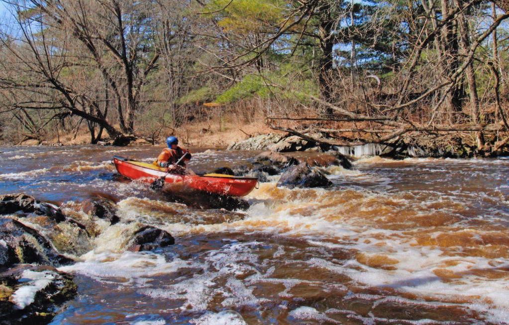
Click the following link for an eight-minute video showing some of the fine action on this run: Low-water run of the Middle River
Situated midway between the Bois Brule (with its generally mild whitewater -- one section 3.9 Miles, Avg. Gradient 15 fpm, Max Gradient 28 fpm, the other section 9 miles, Avg. Gradient 23 fpm, Max Gradient 45 fpm) and the Amnicon (with its wild sequence in the state park -- listed reach of 5.7 Miles, Avg. Gradient 54 fpm, Max Gradient 129 fpm), one might expect the Middle River to at least have SOME sort of gradient and potential for whitewater. Indeed, this listed section averages 30 FPM, never falls below 14 FPM, and nears 45-50 FPM for a mile-and-a-half. So, one should expect at least Bois Brule-esque action.
Further, analysis of rivers in this area shows that Wisconsin's tallest falls at 165', Big Manitou Falls on the Black River in Pattison State Park, drops from ~960' down into the gorge through the 800' contour. The falls on the Amnicon appear as that river passes through elevations from about 830' down to 730'. Bois Brule's Lenroot and May Ledges appear as that stream passes though 830' and 800'. (Seeing a pattern here, everyone?) The Middle River passes through these elevations in the vicinity of East Moonshine Road, where (indeed) its steepest gradient appears. With this analysis, we listed this reach and petitioned for anyone with first-hand knowledge to 'report'. Sure enough, we got a response.
MnktoDave reports:
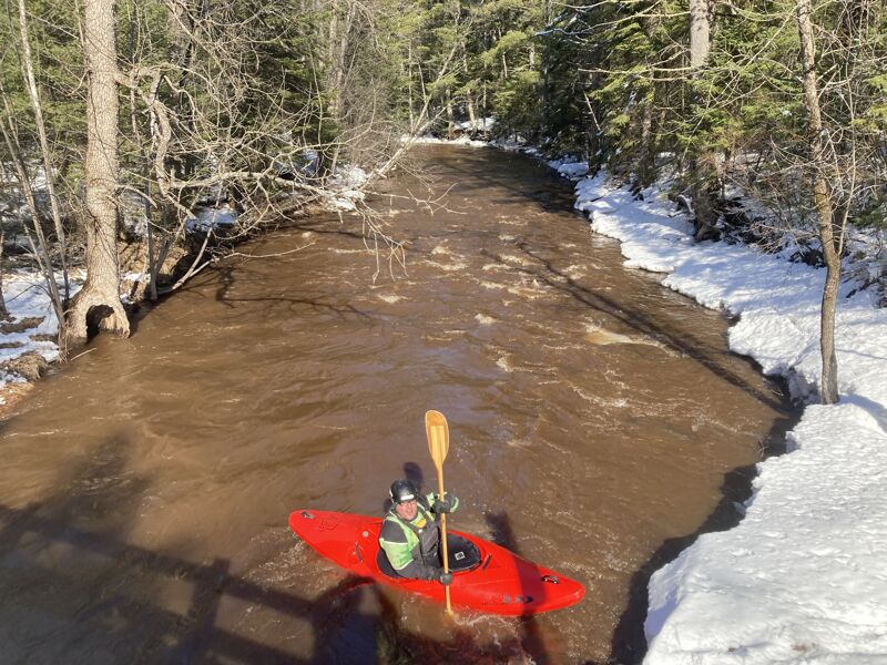
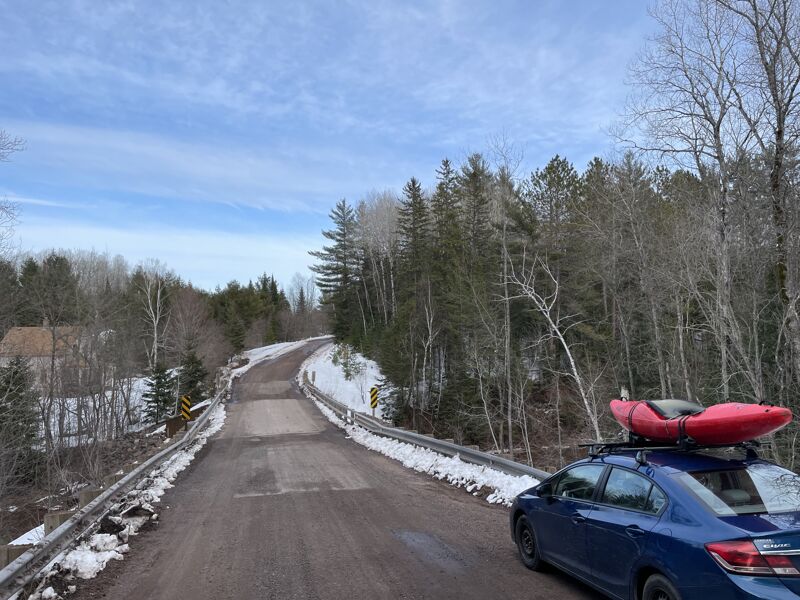
With the Bois Brule running at about 225cfs and dropping fast, we decided to try something new. We had often thought to run the Middle river over the last several years. After looking at the map we decided to do the short section from Lackson Road to Hwy.2. We drove along the river and checked out as much as we could see. The riv
...
(At put-in, based on personal measurement via online planimeter and topomaps.)
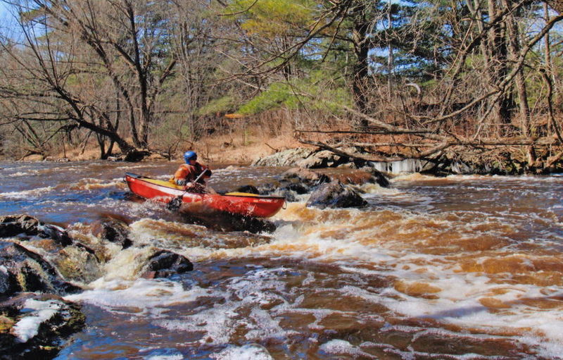
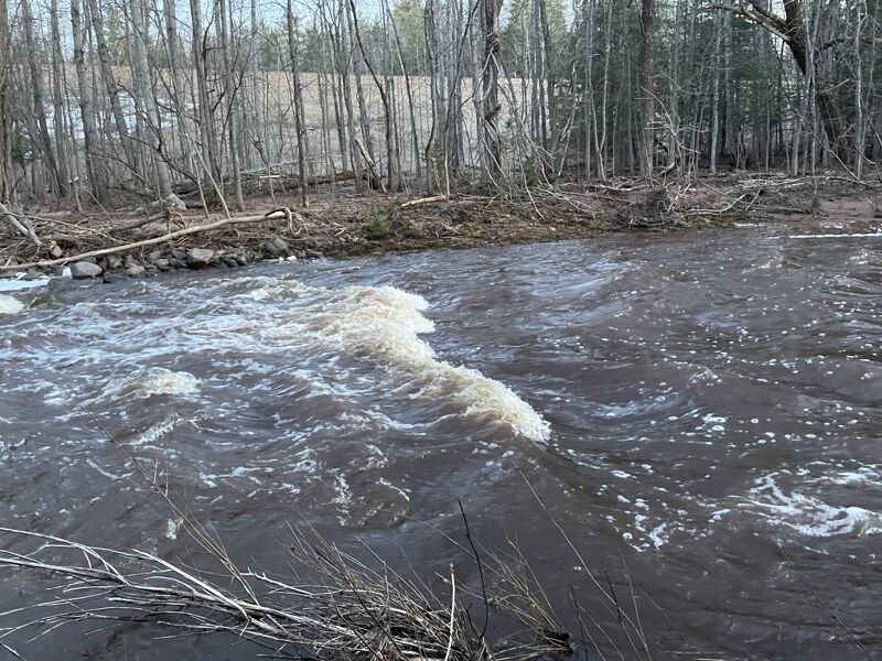
Just upstream of (and visible from) Bayfield Road bridge, this ledge has a sweet playable hole even at a fairly low flow (as shown in the photo). With higher flows, this may get a bit sticky/tricky!.
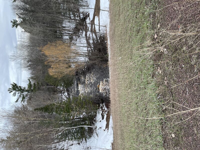
For a shorter trip, access (take-out or put-in) is possible at Hwy.2.
From reports, apparently there may be periodic concerns with wood (trees) blocking the tunnels passing under the highway, making portage necessary.
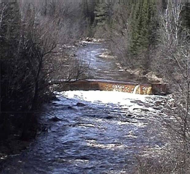
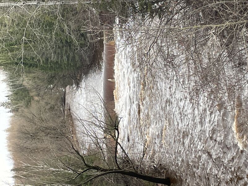
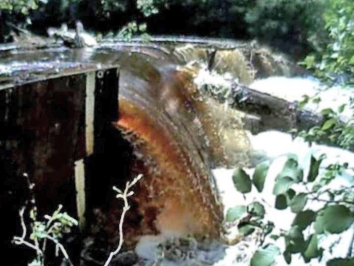
MnktoDave reports that there is a dam at this location which they found fairly easy to portage.
Nonetheless, we would highly recommend scouting (while running shuttle, before putting in to run this section of river) to be aware of conditions leading into this dam.
An added benefit is that there is apparently a stick-gauge at this location, so it would be handy to check that for water level before you put-on, especially since the 'reference gauge' (on the Bois Brule) may not always correlate well to flows here.