Dungeness
1. Gold Creek to Dungeness Forks Campground

| Difficulty | III-IV |
| Length | 3.2 mi |
| Avg Gradient | 125 fpm |
| Gauge | Dungeness River Near Sequim, Wa |
| Flow Rate as of 1 hour | 121 cfsbelow recommended |
| Reach Info Last Updated | July 20, 2024 |
American Whitewater is proud to be a leading partner in the Wild Olympics Campaign, a collaborative effort to protect the wild rivers, ancient forests, and salmon habitat of Washington’s Olympic Peninsula. Working alongside conservation and recreation organizations, American Whitewater helped launch this campaign with the leadership of our local [...]Read More
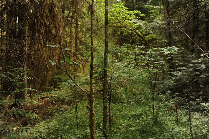
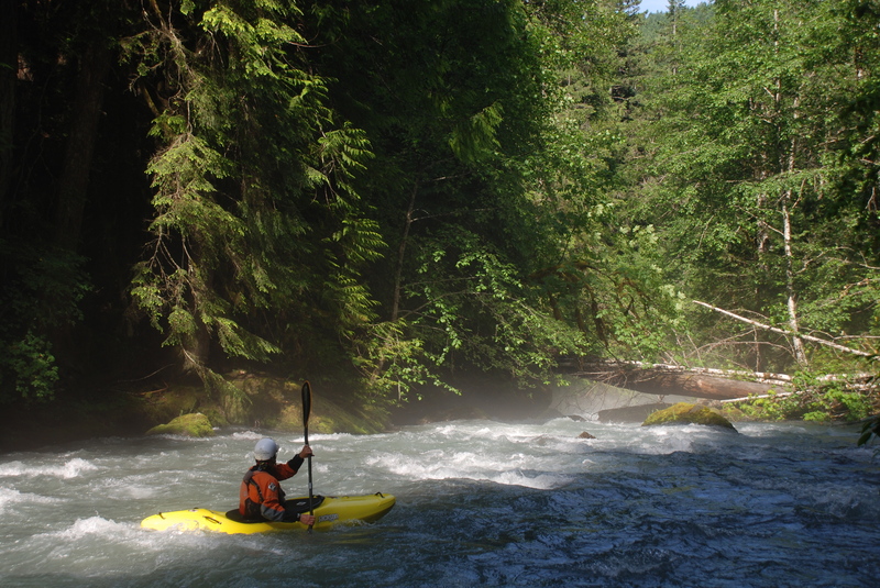
High quality class 3+ creeking with incredible scenery through old-growth forest. The typical season is March through early July during spring snow melt with snow often inhibiting access during the winter months. In some years the river has considerable wood hazards requiring portages but in other years it is cleaner. Get a recent report or give yourself plenty of time to scout and portage if necessary. As Korb states, 'it will seem like more than three miles.'
The first mile of the run down to the old East Crossing Campground can be scouted by hiking along river right on the former Forest Road 2860 that has been decommissioned and converted to trail. After you pass the old campground the trail leaves the river as you enter a more remote canyon segment.
The run finishes off with a fun class IV rapid, 'Mousetrap', that can be viewed by hiking up from the bottom. Once you reach the bridge you can take-out on river right or continue on downstream on the lower run which adds another couple hours.
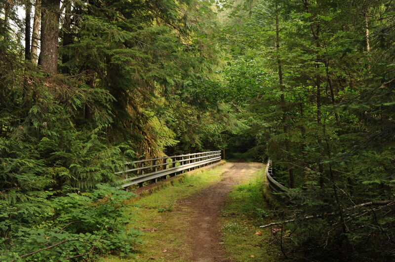
ACCESS: From Highway 101 mile 267.4 take Palo Alto Road south through farmlands and into the foothills of the Olympics. This road is paved all the way and in 8.0 miles the road splits with FR 2860 heading off to the left and FR 2880 heading to the right and down to Dungeness Forks Campground. Follow FR 2880 1.0 miles down to the Dungeness River. You will come to a bridge just upstream of the Gray Wolf confluence at Dungeness Forks Campground (one of the nicer Forest Service campgrounds in the Olympics). The take-out is on river right upstream of the bridge or you can continue on downstream on the lower run.
To reach the put-in, you can no longer use the route described by Korb due to the fact that segment of FR 2860 that went along river right has been decommissioned. Instead continue upstream on river left from the take-out bridge on FR 2880 and then in 0.9 mile turn left on FR 2870. Follow this road headed up hill 1.0 mile to the junction with FR 28
...
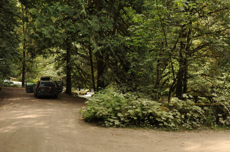
Access is from the Gold Creek Trailhead at the end of the Forest Road 2870-230 spur (1.4 miles in length) that comes down to the river from Forest Road 2870. From the trailhead it is a 0.5 mile hike down the Lower Gold Creek Trail (Trail 830) to the river on the former Forest Road 2860 that has been decommissioned and coverted to trail. The old concrete forest road bridge that crosses the river and marks the traditional access point below the confluence of Gold Creek is still in place. Good access to the water is available on the downstream river right side of the bridge.
The take out is at the Forest Road 2880 Bridge just upstream of Dungeness Forks Campground. The best access is on the upstream river right side of the bridge which is also a popular site for dispersed campers who park their van at this spot along the river. The campground is on the downstream side of the bridge on river left.
Jul 17, 2024
Hiked along the river from Gold Creek put-in down to the old East Crossing Campground on the former road bed (FR 2860), now a trail, that parallels the river on river right. There were sections with several channel-spanning logs but also areas with longer stretches of nice whitewater. The flow looked too low to boat but you would not want much more given the wood hazards.
The old East Crossing Campground is all but invisible now having been taken over by the forest.
Aug 1, 2020
8/01/2020 Ran this at 260 cfs at the gauge (downstream), and it almost had enough water. All the drops had water in the landing. Beautiful Run with great rapids, 2 huge log jams that do not look like they will be going anywhere. Total of 13 mandatory portages; needs a huge flood to clear out the multi layer river wide trees. Would be an amazing creek run without all the trees. Continuous technical class 3/4 run. 360 cfs would probably be a better flow, yet too much water and the trees will be a true hazard.