Dungeness
1. Gold Creek to Dungeness Forks Campground

Jul 17, 2024
Hiked along the river from Gold Creek put-in down to the old East Crossing Campground on the former road bed (FR 2860), now a trail, that parallels the river on river right. There were sections with several channel-spanning logs but also areas with longer stretches of nice whitewater. The flow looked too low to boat but you would not want much more given the wood hazards.
The old East Crossing Campground is all but invisible now having been taken over by the forest.
Aug 1, 2020
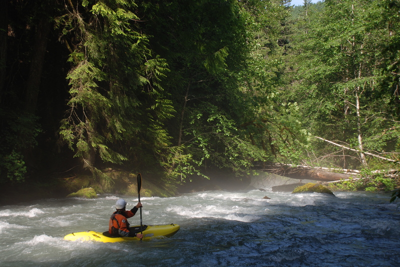
8/01/2020 Ran this at 260 cfs at the gauge (downstream), and it almost had enough water. All the drops had water in the landing. Beautiful Run with great rapids, 2 huge log jams that do not look like they will be going anywhere. Total of 13 mandatory portages; needs a huge flood to clear out the multi layer river wide trees. Would be an amazing creek run without all the trees. Continuous technical class 3/4 run. 360 cfs would probably be a better flow, yet too much water and the trees will be a true hazard.
Jul 14, 2012
Hiking up from the take-out to take in a few rapids on the upper before continuing on a run of the lower.
Jun 7, 2008
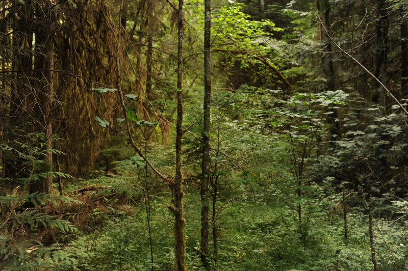
Completed the upper combined with the lower June 7, 2008. Would say flows were medium lowish. FR 2860 is no longer signed, so once joining up with FR 2870 continue until the next major intersection. Make a left and head down hill (this is 2860). There will be a parking area with a gate. The Gold Creek bridge is approximately 0.25 mile hike down from the gate. The upper contains a large amount of wood requiring many scouts/portages in the first 2 miles. The rapids are high quality class 3+ creeking when runnable and the scenery is incredible. Very primal environment with soaring trees everywhere. Mouse Trap (class 4) is unrunnable due to a large amount wood lodged at its base. This is visible from the takeout. If you go, plan on a long day. Not recommended for large groups or high water in its current state.