Lake Michigan
Various (Wisconsin) locations
| Difficulty | I-V |
| Length | 220 mi |
| Avg Gradient | n/a |
| Reach Info Last Updated | March 1, 2025 |
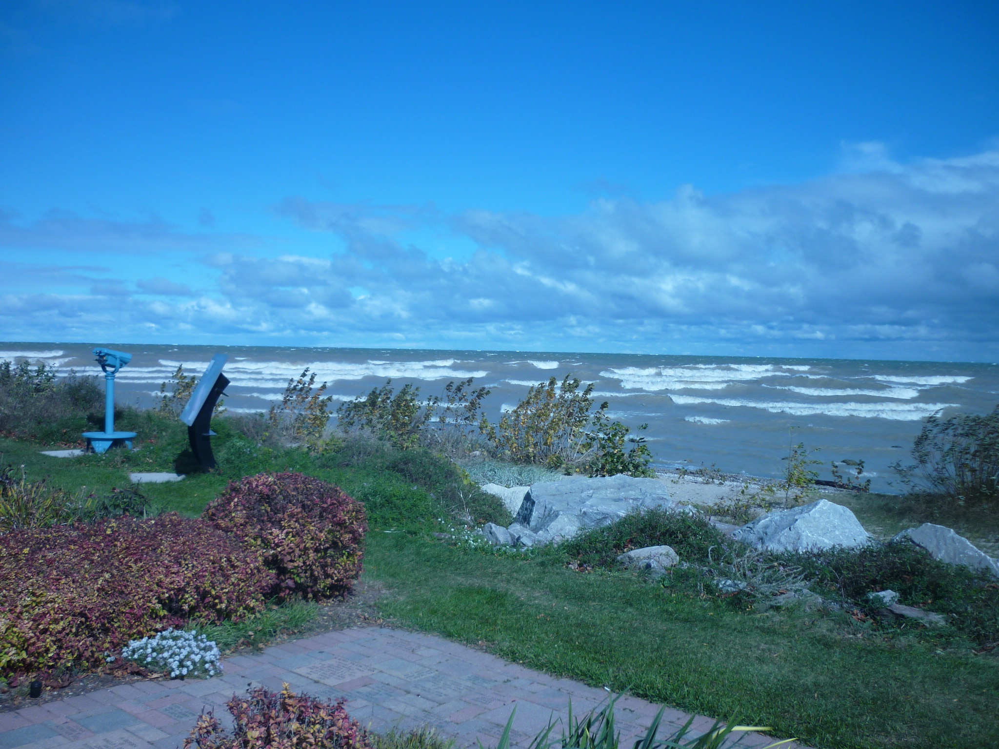
When the winds switch around to having some Easterly component (NNE, NE, ENE, E, ESE, SE, SSE) check out the wave reports. When sailboats are heading for cover due to 'Small Craft Warnings', experienced kayakers might want to head to the lake.
Forecast wave heights are generally reported in ranges.
At 1-2', generally forget it -- things are too tame to really get any surfs.
At 2-4', tame entertainment may be found.
At 3-5', you'll start catching some more worthwhile rides.
At 4-7', expect some sweet rides.
Above that, things start to get epic.
Regarding 'gauges' for the lake: While it may seem likely to check it out any time the National Weather Service issues small craft warnings, you'll quickly find that is woefully inadequate. They are generally more concerned with 'open water' rather than shore break, and tend to report exaggerated wave heights (easily double what you'll actuallly see!). The better gauge will be some websites more oriented toward board surfers, and thus reporting actual shore break wave heights. USE THIS: surfline.com/surf-reports-forecasts-cams-map/
DO NOT TAKE LAKE SURFING LIGHTLY! This is a whole different challenge than the river! On the river, each feature (wave or hole) is relatively 'constant' at a given flow. On the lake, every wave changes as it heads toward shore. When waves break, they can have powerful force as the weight of many gallons of water crash down on you.
Having some sort of anti-implosion device for your sprayskirt is imperative at larger wave heights!
When waves are moderate to large, there will likely be strong currents sweeping down the shore and out toward open water. If your skirt implodes and your boat fills with water (or you are out of your boat), each successive wave will hit you, making it like trying to run (or swim) a
...
Obviously there are innumerable locations in Wisconsin (on the 'West Shore' of Lake Michigan) where one could access the lake for possible surfing action. What follows are just a few known, popular spots.
To have some consistent means of logical order, locations are being listed from South to North, from the Illinois/Wisconsin border to the tip of Door County. Listed 'distance' is derived from Google driving directions, using a starting point of Hwy.32 at Russel Road (WI/IL state line) and ending as close as possible via road access to each beach.
Do you know of a location where the surfing action is just 'too sweet' (when the wind and waves are right)? Please add a 'Trip Report' detailing any additional 'hot spots' you are aware of on 'the big pond'.
A fine sandy beach and a breakwall/jetty can catch sweet wave action when winds are from the South/SouthEast. Unfortunately, this beach seems (at least in warmer months) to be very prone to being full of seaweed and algae. Assess water quality and boat this location at your own risk.
A sandy beach and a rocky breakwall can funnel waves nicely here, near downtown Kenosha. When wind and waves are coming from the NorthEast, they'll wrap nicely around and into the 'hook' of this breakwall and cove/beach.
A fine sandy bottom beach, and two possibilities to play this area inside the breakwall which is parallel to shore. Waves can roll in from the SouthEast, and funnel into the area between the breakwall and shore. They'll 'break' as they encounter a shoals/shallows which extends from shore to the breakwall. Alternatively, if waves are more from the East, they can enter a gap in the breakwall. As they do, those who recall a bit of wave physics may recall that straight waves coming through such a gap propagate inside the gap in a semi-circular fashion! This can make some great sufing fun.
This beach is a great wide expanse of sand (meaning a bit of a carry from the parking lot to the water). North Beach has recieved a 'Blue Wave Certification' for being clean, safe and economically thriving. When winds are strong out of the SouthEast, waves can wrap nicely around the end of the breakwall, and roll toward the fine sandy bottom beach.
Generally ignore National Weather Service 'Small Craft Advisories' and their highly exaggerated wave height reports.
The most reliable 'gauge' is: https://www.surfline.com/surf-report/racine/584204204e65fad6a770950d
This is a popular spot for (stand-up board) surfers. I've been surprised to see them riding what they refer to as 'double-over-ankle' (a take-off on big-wave surfers who talk about 'double-over-head'), and they are apparently satisfied even when catching rides of only 5-10 seconds! (I won't generally suit-up unless/until I see rides of 20-30 seconds.)
Park curbside, carry down wooden stairs to a small sandy beach tucked between some jetties. The 'breaks' here tend to be fairly smooth and consistent.
'The Point' can catch wind and waves from almost any wind with an Easterly component, but usually is best with winds from the NorthEast. The beach here is quite rocky, so you need to be careful if you ride a wave too far in -- a flip will be brutal.
Addiionally, keep in mind that when there is too much Northerly or Southerly component to the wind, there will be strong rip currents. These make it extremely difficult to stay at the 'point' of Wind Point, as you get swept further and further down the beach. Rather than battling the rip current, it is likely you'll need to go ashore to hike 'up beach', to restange for your next sequence of rides. (And you're generally not likely to repeat that process more than a couple times before you pack it in.)
When rip currents are present, any 'out of boat' experiences will be very problematic. Trying to swim toward shore (especially if you are trying to keep hold of boat and paddle!) will be a major chore!
The best 'gauge' is : https://www.surfline.com/surf-report/wind-point/584204204e65fad6a7709510
Parking on Charles Street, just before it meets and turns onto Five-and-a-half-mile Road, there's an outlot (greenspace) between a home and a wooded lot. Walking east to the lake, a short trail down the dirt (or muddy) bluff leads to a fine sand beach. There are a few random rocks and stonework breakwalls, but most of the beach is somewhat steeply sloped sand.
At times, the waves will break better here than at Cliffside or at Wind Point. Another advantage can be that when the winds have a strong northerly component, the rip currents sweeping south down the shore will be taking you into shore in the bay formed by Wind Point, rather than (if you surf at Wind Point) sweeping you out into the middle of the bay (thus away from shore) to the south of Wind Point.
A tougher carry (down a steep hill to the beach, and back up when you're done). There are times when this beach can have better 'breaks' than the others (and, of course, times when it is not as good). You may want to check it out.
A great sandy beach has some 'fame' among surfers. Annually, each Labor Day weekend, a surf contest/meet is held here.
Jul 27, 2011
Check out Magic Sea Weed for Lake Michigan surf forecasts. http://magicseaweed.com/Lake-Michigan-Surfing/300/
Oct 2, 2010
After a low-front passes, when the winds often wrap around out of the NorthEast, waves will kick up nicely and roll into the north side of Wind Point (Racine). Access is possible from the grounds of the Wind Point Lighthouse.
