Big Creek (Pigeon R. trib.)
2. NPS Campground to Confluence with Big Pigeon(Lower Big Creek)
| Difficulty | III-IV |
| Length | 1.9 mi |
| Avg Gradient | 158 fpm |
| Gauge | Oconaluftee River at Birdtown, Nc |
| Flow Rate as of 32 minutes | 342 cfsbelow recommended |
| Reach Info Last Updated | December 12, 2025 |
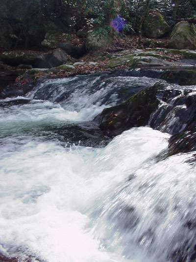
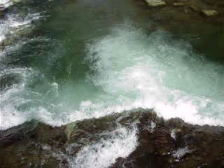
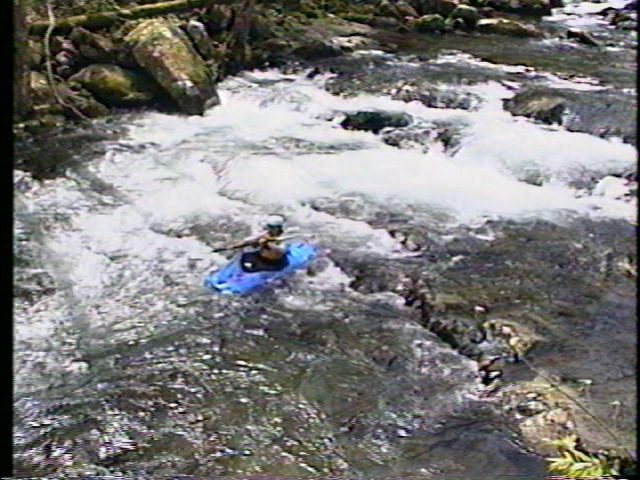
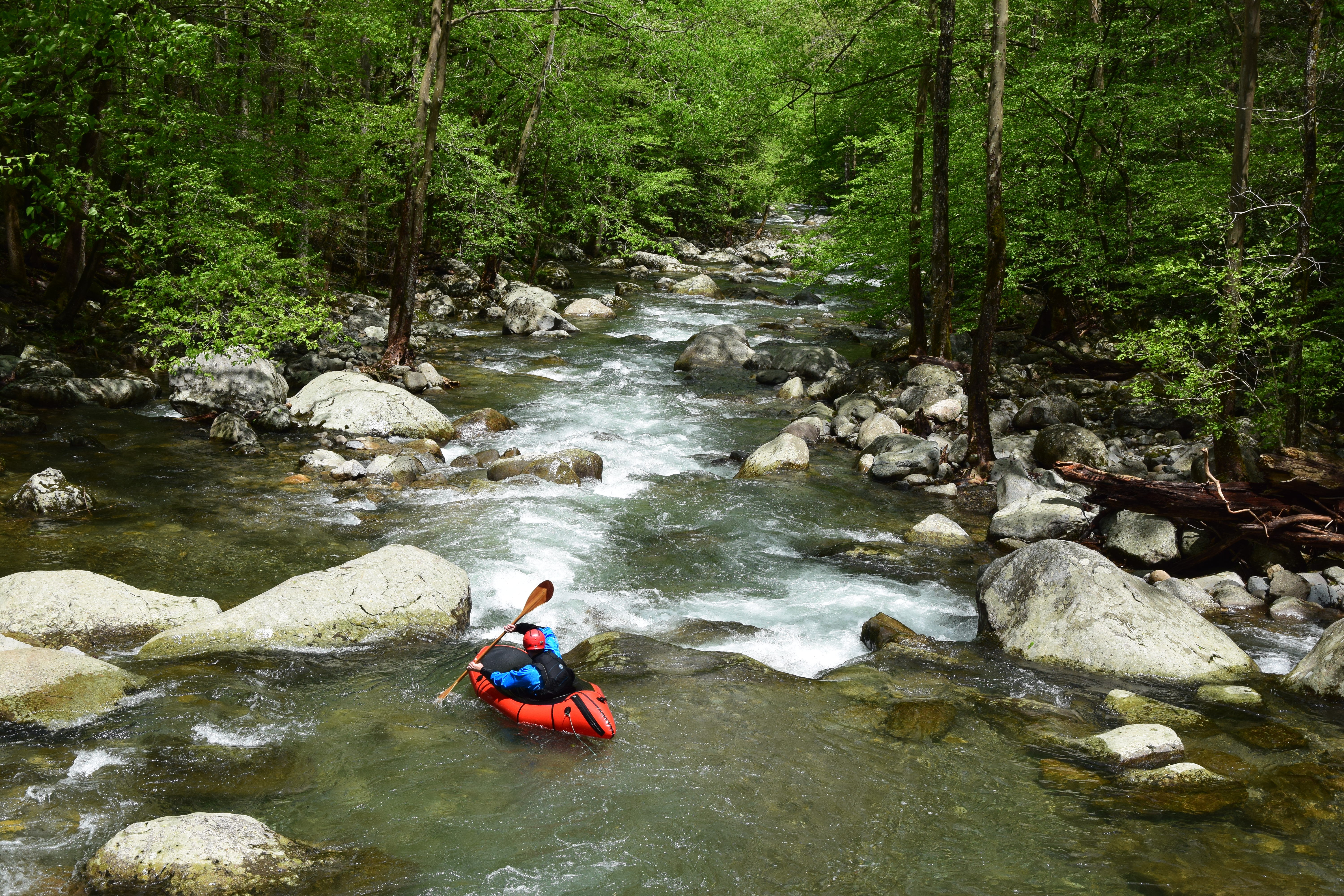
Lower Big Creek is an Asheville and Knoxville area creek'in staple, and for good reason. The run offers consistently steep continuous whitewater that courses between and over time-polished boulders and bedrock ledges. The run starts off and finishes with continuous Class III+/IV- whitewater, and in the middle are a couple choice rapids that are more challenging: one that leads boaters to a mid river boof of a few feet in height, and the other a sinous S-turn rapid with pillows and holes buffetting paddlers from all sides. Swims on the run can be long because it is so continuous, and there is occasional wood in the stream to pay attention to. The lower section of Big Creek offers a great step up in steep creeking for the paddler looking to expand their horizons into more difficult runs, and a joyous place for intermediate-advanced paddlers to fly off boofs, get tossed around by pillows, and take in the beautiful scenery of Great Smoky Mountains National Park.
The run has a wide range of boatable flows depending on your appetites, from technical low water to high water wave trains, but its wide middle range of flows is especially high quality. There is no gauge on Big Creek, so paddlers use the Oconaluftee or Cataloochee creek gauges, and post visuals on facebook. There are a variety of paddler visual staff gauges in the lower more roadside portions of the creek as well. It takes rain, and runs fairly often for fairly short windows.
This trip can be combined with some of the hike-up water above the campground for the adventurous boater. Be aware, the 1.5 mile section above the campground is much more demanding than the lower section of Big Creek, and above that is a big step up.
Park at the trailhead / picnic area at the end of the road. Most paddlers put in right by the parking lot, in the vicinity of the footbridge that spans the river.
Most people take out upstream of the Waterville Powerhouse and the final bridge over Big Creek, parking in the pull out by the white building. Note that there is a low head dam at the powerhouse! Its best to take out upstream of the dam.
Jun 22, 2004
I don't care what they say the levels need to be. I was on it Thurs. 6-17. The gauge said the oconoluftee was running 700-725 that day. Caught a big thunderhead on the way in from Asheville, did a quick run on the Pigeon, and 2 hours later the Big was running BIG! They say it got up to 3 ft that day. A friend I talked into it lost her boat and paddle. Anyway, 2 days later (Sat, the 19th) I decided to scrape down to try and find the lost boat. The gauge said that the OC ran 400 cfs that day. I was surprised to find all the rapids between the campground footbridge and the Mt Sterling Rd bridge to be quite clean and still fun, but the closer I got to the powerhouse, the scrapier things got. Point is, I believe that this summer may have alot of late afternoon creek runs after thunderstorms that are so brief (and local) that they may not even show up on the gauges. If clouds are on thier way, head to big creek and hope for the best!
STRAINER ALERT - Not far below the Mt Sterling Rd bridge is a rapid where the river equally splits. The left chute fans out over most of the riverbed, getting shallow and rocky, while the right chute funnels to the right, getting deeper and ending in a small drop above a 5 ft slot between 2 large boulders. THERE IS A TREE STUCK BETWEEN THESE 2 BOULDERS!! It may not be a problem at higher water flows, but it was there the other day. And by the time you see it, you may not be able to catch an eddy outta there. Downstream, at the islands, the left chute strainer has cleared enough to run, as long as you stay left.
Mar 2, 2004
shortly after you go under the cataloochee road bridge (first car bridge you come to), you should be able to see the local store on river left. just past it, the creek is split by an island and rejoins a little further downstream into a stretch of flatwater. the creek is split by another island after the flatwater and both sides have a large creekwide strainer across them. the strainer on river right seems to be there for a long stay; one on river left is slowly giving away to the water.
took a look at it today at 738cfs - at this level you could duck and get under them but at levels you could actually run this comfortably, they're going to be a problem.